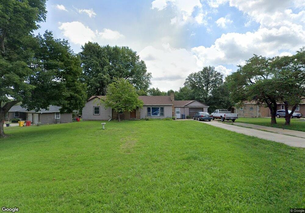
1723 Berry Rd Independence, MO 64057
Bridger NeighborhoodEstimated Value: $192,000 - $225,000
3
Beds
2
Baths
1,212
Sq Ft
$177/Sq Ft
Est. Value
About This Home
This home is located at 1723 Berry Rd, Independence, MO 64057 and is currently estimated at $214,003, approximately $176 per square foot. 1723 Berry Rd is a home located in Jackson County with nearby schools including Blackburn Elementary School, Bridger Middle School, and Bingham Middle School.
Ownership History
Date
Name
Owned For
Owner Type
Purchase Details
Closed on
Dec 1, 2021
Sold by
Christine Pickett Robin
Bought by
Pickett Charles Robert
Current Estimated Value
Home Financials for this Owner
Home Financials are based on the most recent Mortgage that was taken out on this home.
Original Mortgage
$146,225
Interest Rate
3.22%
Mortgage Type
VA
Purchase Details
Closed on
Sep 17, 2002
Sold by
Stoner Kenneth S and Stoner Mary
Bought by
Pickett Charles R
Home Financials for this Owner
Home Financials are based on the most recent Mortgage that was taken out on this home.
Original Mortgage
$66,500
Interest Rate
10.45%
Mortgage Type
Purchase Money Mortgage
Create a Home Valuation Report for This Property
The Home Valuation Report is an in-depth analysis detailing your home's value as well as a comparison with similar homes in the area
Home Values in the Area
Average Home Value in this Area
Purchase History
| Date | Buyer | Sale Price | Title Company |
|---|---|---|---|
| Pickett Charles Robert | -- | None Listed On Document | |
| Pickett Charles Robert | -- | None Listed On Document | |
| Pickett Charles Robert | -- | None Listed On Document | |
| Pickett Charles R | -- | -- |
Source: Public Records
Mortgage History
| Date | Status | Borrower | Loan Amount |
|---|---|---|---|
| Previous Owner | Pickett Charles Robert | $146,225 | |
| Previous Owner | Pickett Charles R | $66,500 |
Source: Public Records
Tax History
| Year | Tax Paid | Tax Assessment Tax Assessment Total Assessment is a certain percentage of the fair market value that is determined by local assessors to be the total taxable value of land and additions on the property. | Land | Improvement |
|---|---|---|---|---|
| 2025 | $1,628 | $27,026 | $8,364 | $18,662 |
| 2024 | $1,591 | $23,501 | $6,675 | $16,826 |
| 2023 | $1,591 | $23,501 | $5,719 | $17,782 |
| 2022 | $1,586 | $21,470 | $4,769 | $16,701 |
| 2021 | $1,585 | $21,470 | $4,769 | $16,701 |
| 2020 | $1,549 | $20,382 | $4,769 | $15,613 |
| 2019 | $1,524 | $20,382 | $4,769 | $15,613 |
| 2018 | $1,389 | $17,740 | $4,151 | $13,589 |
| 2017 | $1,389 | $17,740 | $4,151 | $13,589 |
| 2016 | $1,368 | $17,295 | $3,327 | $13,968 |
Source: Public Records
Map
Nearby Homes
- 1704 Highland Dr
- 16805 Sunset Dr
- 1225 Berry Rd
- 1800 S M 291 Hwy
- 1215 Berry Rd
- 2018 James Downey Rd
- 2100 James Downey Rd
- 5218 Indiana Ave
- 16305 E 17th St S
- 1909 S Ellison Way
- 1602 S Queen Ridge Way
- 16208 E Sea Ave
- 2100 & 2105 S Ellison Way
- 18710 E Truman Rd
- 1820 E Morgan Rd
- 2417 S Ellison Way
- 1749 Sinnott Cir
- 18008 E 25th Street Ct S
- 16912 E 4th Terrace S
- 17504 E R D Mize Rd
Your Personal Tour Guide
Ask me questions while you tour the home.