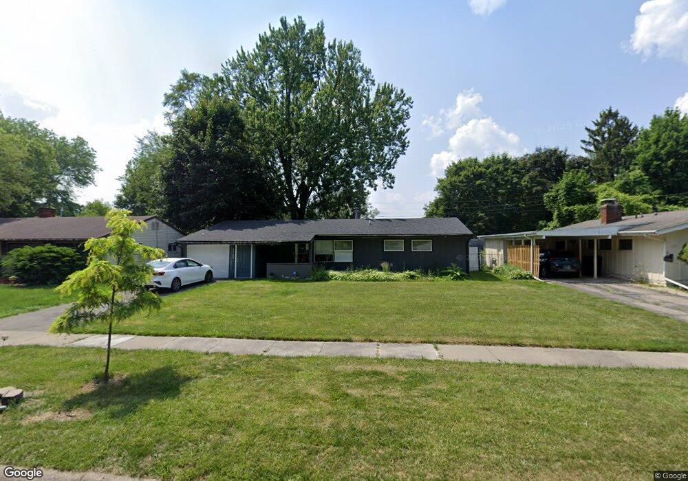
1723 Briarwood Dr Flint, MI 48507
South Side NeighborhoodEstimated Value: $85,000 - $100,000
3
Beds
2
Baths
1,195
Sq Ft
$80/Sq Ft
Est. Value
About This Home
This home is located at 1723 Briarwood Dr, Flint, MI 48507 and is currently estimated at $95,334, approximately $79 per square foot. 1723 Briarwood Dr is a home located in Genesee County with nearby schools including Neithercut Elementary School, Flint Southwestern Classical Academy, and International Academy of Flint (K-12).
Ownership History
Date
Name
Owned For
Owner Type
Purchase Details
Closed on
Jun 22, 2022
Sold by
Genesee County
Bought by
Tyler Archie and Mixon Loretta J
Current Estimated Value
Purchase Details
Closed on
Oct 26, 2015
Sold by
Hutchison Keith W and Hutchison Delena M
Bought by
Tyler Archie and Mixon Loretta J
Purchase Details
Closed on
Nov 29, 2011
Sold by
Hutchinson Keith and Estate Of Ethet Alline Hutchin
Bought by
Hutchinson Keith and Hutchinson Gary
Create a Home Valuation Report for This Property
The Home Valuation Report is an in-depth analysis detailing your home's value as well as a comparison with similar homes in the area
Home Values in the Area
Average Home Value in this Area
Purchase History
| Date | Buyer | Sale Price | Title Company |
|---|---|---|---|
| Tyler Archie | $25,000 | None Listed On Document | |
| Tyler Archie | $31,000 | None Available | |
| Hutchinson Keith | -- | None Available |
Source: Public Records
Tax History
| Year | Tax Paid | Tax Assessment Tax Assessment Total Assessment is a certain percentage of the fair market value that is determined by local assessors to be the total taxable value of land and additions on the property. | Land | Improvement |
|---|---|---|---|---|
| 2025 | $1,738 | $43,100 | $0 | $0 |
| 2024 | $1,597 | $39,100 | $0 | $0 |
| 2023 | $1,550 | $33,500 | $0 | $0 |
| 2022 | $0 | $28,200 | $0 | $0 |
| 2021 | $1,249 | $21,300 | $0 | $0 |
| 2020 | $1,113 | $19,900 | $0 | $0 |
| 2019 | $1,076 | $18,500 | $0 | $0 |
| 2018 | $1,104 | $18,000 | $0 | $0 |
| 2017 | $1,071 | $0 | $0 | $0 |
| 2016 | $1,365 | $0 | $0 | $0 |
| 2015 | -- | $0 | $0 | $0 |
| 2014 | -- | $0 | $0 | $0 |
| 2012 | -- | $20,700 | $0 | $0 |
Source: Public Records
Map
Nearby Homes
- 1727 Briarwood Dr
- 1814 Carmanbrook Pkwy
- 1741 Carmanbrook Pkwy
- 1506 Pettibone Ave
- 1836 Willowbrook Cir
- 1413 Lincoln Ave
- 1514 W Atherton Rd
- 1814 Penbrook Ln
- 1410 Berrywood Ln
- 4101 Greenbrook Ln
- 1130 W Atherton Rd
- 1902 Rockcreek Ln
- 1820 Chelsea Cir
- 1826 Greenbrook Ln
- 4302 Huckleberry Ln
- 1933 Greenbriar Ln
- 1310 Alvord Ave
- 1024 Ossington Ave
- 4202 Park Forest Dr
- 2115 Radcliffe Ave
- 1717 Briarwood Dr
- 3202 Cranbrook Cir
- 1801 Briarwood Dr
- 1711 Briarwood Dr
- 3201 Cranbrook Cir
- 1724 Briarwood Dr
- 1720 Briarwood Dr
- 3208 Cranbrook Cir
- 1805 Briarwood Dr
- 1728 Briarwood Dr
- 1701 Briarwood Dr
- 1716 Briarwood Dr
- 1732 Briarwood Dr
- 3205 Cranbrook Cir
- 1809 Briarwood Dr
- 3102 Briarwood Dr
- 3101 Briarwood Dr
- 1802 Briarwood Dr
- 1712 Briarwood Dr
- 3112 Briarwood Dr
Your Personal Tour Guide
Ask me questions while you tour the home.