Estimated Value: $176,000 - $216,000
3
Beds
2
Baths
1,216
Sq Ft
$163/Sq Ft
Est. Value
About This Home
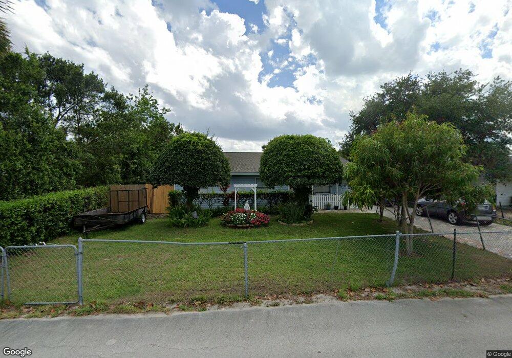
This home is located at 1723 Fay St, Cocoa, FL 32926 and is currently estimated at $198,488, approximately $163 per square foot. 1723 Fay St is a home located in Brevard County with nearby schools including Cocoa High School, Cambridge Elementary Magnet School, and Space Coast Christian Academy.
Ownership History
Date
Name
Owned For
Owner Type
Purchase Details
Closed on
Jun 13, 2014
Sold by
Mendoza Franciso
Bought by
Tule Josefina Mendoza
Current Estimated Value
Purchase Details
Closed on
Aug 7, 2001
Sold by
Space Coast Habitat For Humanity Inc
Bought by
Mendoza Francisco and Demendoza Esperanza Tule
Home Financials for this Owner
Home Financials are based on the most recent Mortgage that was taken out on this home.
Original Mortgage
$20,000
Outstanding Balance
$7,824
Interest Rate
7.19%
Estimated Equity
$190,664
Purchase Details
Closed on
Jun 23, 2000
Sold by
Shepard Clark B
Bought by
Spacecoast Habitat For Humanity Inc
Create a Home Valuation Report for This Property
The Home Valuation Report is an in-depth analysis detailing your home's value as well as a comparison with similar homes in the area
Home Values in the Area
Average Home Value in this Area
Purchase History
| Date | Buyer | Sale Price | Title Company |
|---|---|---|---|
| Tule Josefina Mendoza | -- | None Available | |
| Mendoza Francisco | $52,300 | -- | |
| Spacecoast Habitat For Humanity Inc | $33,200 | -- |
Source: Public Records
Mortgage History
| Date | Status | Borrower | Loan Amount |
|---|---|---|---|
| Open | Mendoza Francisco | $20,000 |
Source: Public Records
Tax History
| Year | Tax Paid | Tax Assessment Tax Assessment Total Assessment is a certain percentage of the fair market value that is determined by local assessors to be the total taxable value of land and additions on the property. | Land | Improvement |
|---|---|---|---|---|
| 2025 | $1,022 | $76,450 | -- | -- |
| 2024 | $1,002 | $74,300 | -- | -- |
| 2023 | $1,002 | $72,140 | $0 | $0 |
| 2022 | $943 | $70,040 | $0 | $0 |
| 2021 | $945 | $68,000 | $0 | $0 |
| 2020 | $899 | $67,070 | $0 | $0 |
| 2019 | $846 | $65,570 | $0 | $0 |
| 2018 | $846 | $64,350 | $0 | $0 |
| 2017 | $846 | $63,030 | $0 | $0 |
| 2016 | $854 | $61,740 | $9,780 | $51,960 |
| 2015 | $859 | $61,320 | $9,780 | $51,540 |
| 2014 | $806 | $54,410 | $9,780 | $44,630 |
Source: Public Records
Map
Nearby Homes
- 1417 Walter St
- 0 University Ln
- 1644 Ruth St
- 1523 Furnari St
- 1531 Paradise Ln
- 1509 Tate St
- 1515 Furnari St
- 1455 Tate St
- Xxx Rosetine St
- 1523 Clearlake Ct
- 1428 Tate St
- 1810 Dixon Blvd
- 2319 Elon Dr
- 1514- 1514 Furnari St
- 0000 Null Unknown
- 1514 Clearlake Rd Unit 143
- 2029 Ivy Dr
- 1354 S Stetson Dr
- 1704 University Ln Unit 702
- 2413 Cherbourg Rd
Your Personal Tour Guide
Ask me questions while you tour the home.