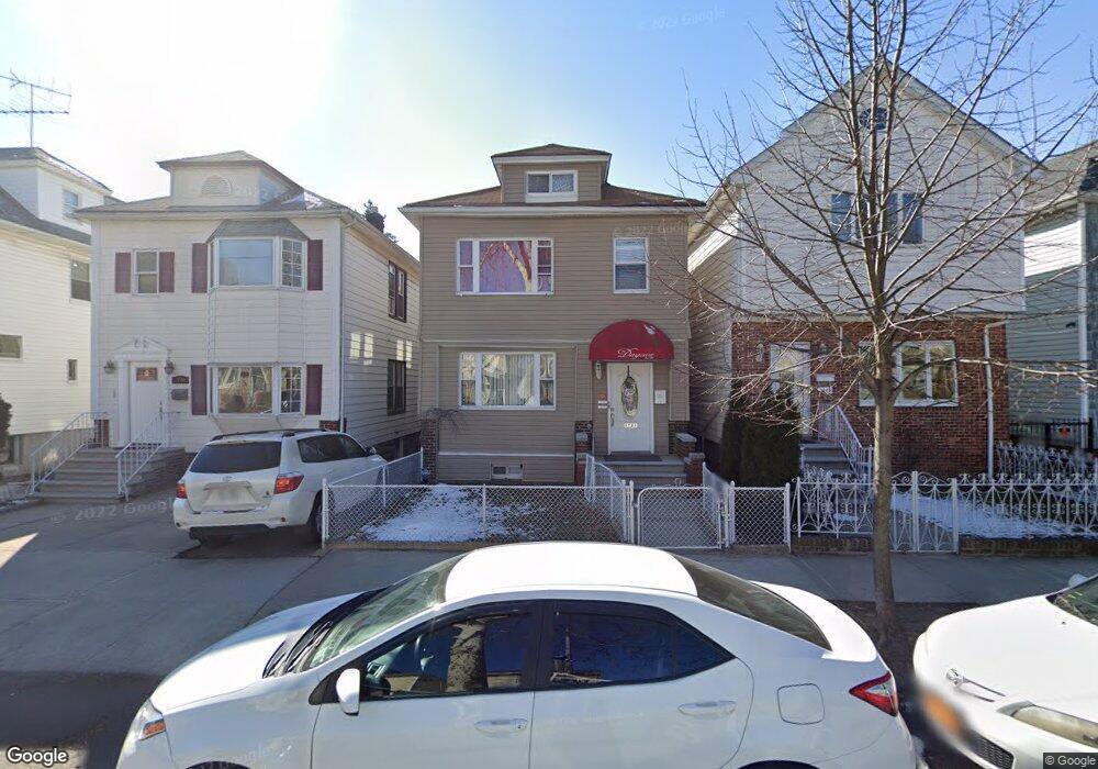
1723 Jarvis Ave Bronx, NY 10461
Middletown-Pelham Bay NeighborhoodEstimated Value: $756,715 - $1,005,000
--
Bed
--
Bath
2,200
Sq Ft
$412/Sq Ft
Est. Value
About This Home
This home is located at 1723 Jarvis Ave, Bronx, NY 10461 and is currently estimated at $905,429, approximately $411 per square foot. 1723 Jarvis Ave is a home located in Bronx County with nearby schools including P.S. 71 Rose E Scala, Herbert H Lehman High School, and St. Theresa School.
Ownership History
Date
Name
Owned For
Owner Type
Purchase Details
Closed on
Sep 1, 2005
Sold by
Patriarca Mary
Bought by
Vicente Luis A
Current Estimated Value
Home Financials for this Owner
Home Financials are based on the most recent Mortgage that was taken out on this home.
Original Mortgage
$356,000
Interest Rate
6.4%
Mortgage Type
Purchase Money Mortgage
Create a Home Valuation Report for This Property
The Home Valuation Report is an in-depth analysis detailing your home's value as well as a comparison with similar homes in the area
Home Values in the Area
Average Home Value in this Area
Purchase History
| Date | Buyer | Sale Price | Title Company |
|---|---|---|---|
| Vicente Luis A | -- | -- |
Source: Public Records
Mortgage History
| Date | Status | Borrower | Loan Amount |
|---|---|---|---|
| Closed | Vicente Luis A | $356,000 |
Source: Public Records
Tax History Compared to Growth
Tax History
| Year | Tax Paid | Tax Assessment Tax Assessment Total Assessment is a certain percentage of the fair market value that is determined by local assessors to be the total taxable value of land and additions on the property. | Land | Improvement |
|---|---|---|---|---|
| 2025 | $6,884 | $37,816 | $7,318 | $30,498 |
| 2024 | $6,884 | $35,675 | $6,253 | $29,422 |
| 2023 | $6,551 | $33,656 | $6,579 | $27,077 |
| 2022 | $4,879 | $47,640 | $10,380 | $37,260 |
| 2021 | $6,379 | $40,680 | $10,380 | $30,300 |
| 2020 | $6,374 | $40,020 | $10,380 | $29,640 |
| 2019 | $5,926 | $33,240 | $10,380 | $22,860 |
| 2018 | $5,420 | $28,047 | $8,727 | $19,320 |
| 2017 | $5,094 | $26,460 | $10,380 | $16,080 |
| 2016 | $5,626 | $29,692 | $10,356 | $19,336 |
| 2015 | $3,159 | $28,732 | $11,328 | $17,404 |
| 2014 | $3,159 | $27,108 | $10,687 | $16,421 |
Source: Public Records
Map
Nearby Homes
- 3036 Buhre Ave
- 1815 Mahan Ave
- 1615 Mahan Ave
- 1856 Edison Ave
- 1725 Edison Ave Unit 4C
- 1725 Edison Ave Unit 2D
- 3121 Middletown Rd Unit 6H
- 3121 Middletown Rd Unit 4K
- 3121 Middletown Rd Unit 11H
- 3121 Middletown Rd Unit 7L
- 3121 Middletown Rd Unit 2K
- 3121 Middletown Rd Unit 7G
- 3121 Middletown Rd Unit 3L
- 2884 Saint Theresa Ave
- 2941 Middletown Rd
- 2935 Middletown Rd Unit B
- 1573 Hollywood Ave
- 1826 Mulford Ave
- 1836 Mulford Ave
- 1932 Pilgrim Ave
- 1721 Jarvis Ave
- 1721 Jarvis Ave Unit 2
- 1719 Jarvis Ave
- 1717 Jarvis Ave
- 1725 Jarvis Ave
- 1715 Jarvis Ave
- 1729 Jarvis Ave
- 1729 Jarvis Ave Unit 2
- 1731 1731 Jarvis
- 0 E 224 St Unit 2A 2753826
- 1716 Hobart Ave
- 1711 Jarvis Ave
- 1731 Jarvis Ave
- 1720 Hobart Ave
- 1714 Hobart Ave
- 1712 Hobart Ave
- 1722 Hobart Ave Unit 2
- 1722 Hobart Ave
- 1728 Hobart Ave
- 1733 Jarvis Ave