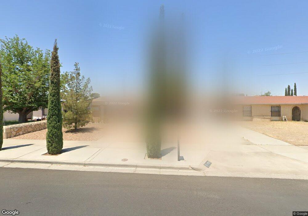
1723 Robert Wynn St El Paso, TX 79936
Vista Hills NeighborhoodEstimated Value: $214,000 - $230,000
3
Beds
2
Baths
1,440
Sq Ft
$154/Sq Ft
Est. Value
About This Home
This home is located at 1723 Robert Wynn St, El Paso, TX 79936 and is currently estimated at $221,334, approximately $153 per square foot. 1723 Robert Wynn St is a home located in El Paso County with nearby schools including Tierra Del Sol Elementary School, J M Hanks High School, and EL PASO LEADERSHIP ACADEMY - MIDDLE EAST.
Ownership History
Date
Name
Owned For
Owner Type
Purchase Details
Closed on
Jan 25, 2022
Sold by
Villarreal Family Limited Partnership
Bought by
Martinez Juan R
Current Estimated Value
Home Financials for this Owner
Home Financials are based on the most recent Mortgage that was taken out on this home.
Original Mortgage
$110,000
Outstanding Balance
$56,067
Interest Rate
3.22%
Mortgage Type
New Conventional
Estimated Equity
$165,267
Create a Home Valuation Report for This Property
The Home Valuation Report is an in-depth analysis detailing your home's value as well as a comparison with similar homes in the area
Home Values in the Area
Average Home Value in this Area
Purchase History
| Date | Buyer | Sale Price | Title Company |
|---|---|---|---|
| Martinez Juan R | -- | None Listed On Document |
Source: Public Records
Mortgage History
| Date | Status | Borrower | Loan Amount |
|---|---|---|---|
| Open | Martinez Juan R | $110,000 |
Source: Public Records
Tax History Compared to Growth
Tax History
| Year | Tax Paid | Tax Assessment Tax Assessment Total Assessment is a certain percentage of the fair market value that is determined by local assessors to be the total taxable value of land and additions on the property. | Land | Improvement |
|---|---|---|---|---|
| 2025 | $1,854 | $169,400 | -- | -- |
| 2024 | $1,854 | $154,000 | -- | -- |
| 2023 | $1,766 | $140,000 | $26,109 | $113,891 |
| 2022 | $4,347 | $140,000 | $26,109 | $113,891 |
| 2021 | $4,513 | $138,827 | $26,109 | $112,718 |
| 2020 | $3,800 | $120,306 | $18,974 | $101,332 |
| 2018 | $3,864 | $124,252 | $18,974 | $105,278 |
| 2017 | $3,475 | $113,698 | $18,974 | $94,724 |
| 2016 | $3,475 | $113,698 | $18,974 | $94,724 |
| 2015 | $3,283 | $113,698 | $18,974 | $94,724 |
| 2014 | $3,283 | $114,740 | $18,974 | $95,766 |
Source: Public Records
Map
Nearby Homes
- 1739 Jerry Abbott St
- 1703 Robert Wynn St
- 1700 Jerry Abbott St
- 1804 Jerry Abbott St
- 11204 Bob Mitchell Dr
- 1607 Tommy Aaron Dr
- 1617 Tommy Aaron Dr
- 3655 George Dieter Dr
- 11268 Enid Wilson Ln
- 11262 Enid Wilson Ln
- 1664 Dick Ritter St
- 1868 Tom Bolt Dr
- 1628 Bert Green Dr
- 1913 Seagull Dr
- 1624 Lou Graham Dr
- 11157 Leo Collins Dr
- 1817 Hugh Royer Place
- 11470 Ed Merrins Dr
- 1733 Karl Wyler Dr
- 11506 James Grant Dr
- 1721 Robert Wynn St
- 1725 Robert Wynn St
- 1719 Robert Wynn St
- 1727 Robert Wynn St
- 1722 Robert Wynn St
- 1720 Robert Wynn St
- 1724 Robert Wynn St
- 1717 Robert Wynn St
- 1729 Robert Wynn St
- 1718 Robert Wynn St
- 1726 Robert Wynn St
- 1728 Dale Douglas Dr
- 1732 Dale Douglas Dr
- 1715 Robert Wynn St
- 1724 Dale Douglas Dr
- 1716 Robert Wynn St
- 1736 Dale Douglas Dr
- 1731 Robert Wynn St
- 1728 Robert Wynn St
- 1723 Jerry Abbott St