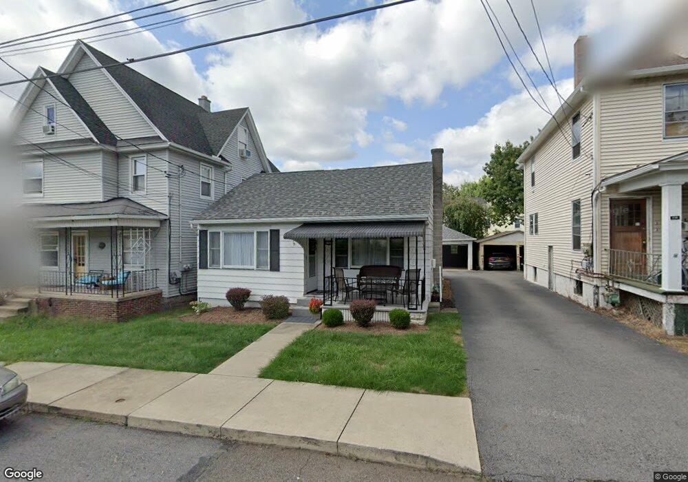
1723 Ryerson Ave Unit L12 Scranton, PA 18509
Greenridge NeighborhoodEstimated Value: $160,782 - $381,000
2
Beds
2
Baths
1,396
Sq Ft
$170/Sq Ft
Est. Value
About This Home
This home is located at 1723 Ryerson Ave Unit L12, Scranton, PA 18509 and is currently estimated at $237,196, approximately $169 per square foot. 1723 Ryerson Ave Unit L12 is a home located in Lackawanna County with nearby schools including Maybeury Elementary School, Pinchbeck Elementary School, and Robert Morris #27.
Ownership History
Date
Name
Owned For
Owner Type
Purchase Details
Closed on
Aug 31, 2010
Sold by
Bonifanti Teresa J
Bought by
Lavelle Matthew T
Current Estimated Value
Home Financials for this Owner
Home Financials are based on the most recent Mortgage that was taken out on this home.
Original Mortgage
$98,671
Outstanding Balance
$65,354
Interest Rate
4.5%
Mortgage Type
FHA
Estimated Equity
$171,842
Create a Home Valuation Report for This Property
The Home Valuation Report is an in-depth analysis detailing your home's value as well as a comparison with similar homes in the area
Home Values in the Area
Average Home Value in this Area
Purchase History
| Date | Buyer | Sale Price | Title Company |
|---|---|---|---|
| Lavelle Matthew T | $100,000 | None Available |
Source: Public Records
Mortgage History
| Date | Status | Borrower | Loan Amount |
|---|---|---|---|
| Open | Lavelle Matthew T | $98,671 |
Source: Public Records
Tax History Compared to Growth
Tax History
| Year | Tax Paid | Tax Assessment Tax Assessment Total Assessment is a certain percentage of the fair market value that is determined by local assessors to be the total taxable value of land and additions on the property. | Land | Improvement |
|---|---|---|---|---|
| 2025 | $3,103 | $9,500 | $1,750 | $7,750 |
| 2024 | $2,839 | $9,500 | $1,750 | $7,750 |
| 2023 | $2,839 | $9,500 | $1,750 | $7,750 |
| 2022 | $2,777 | $9,500 | $1,750 | $7,750 |
| 2021 | $2,777 | $9,500 | $1,750 | $7,750 |
| 2020 | $2,726 | $9,500 | $1,750 | $7,750 |
| 2019 | $2,565 | $9,500 | $1,750 | $7,750 |
| 2018 | $2,565 | $9,500 | $1,750 | $7,750 |
| 2017 | $2,520 | $9,500 | $1,750 | $7,750 |
| 2016 | $799 | $9,500 | $1,750 | $7,750 |
| 2015 | $1,572 | $9,500 | $1,750 | $7,750 |
| 2014 | -- | $9,500 | $1,750 | $7,750 |
Source: Public Records
Map
Nearby Homes
- 1012 Sunset St
- 1008 Sunset St
- 1732 Capouse Ave
- 1118 Columbia St
- 802 Sunset St
- 1747 Monsey Ave
- 1762-1764 Sanderson Ave
- 1021 Richmont St
- 814 N Washington Ave
- 1118 Marion St
- 1306 Marion St
- 1606 Dickson Ave
- 332 New York St
- 2106 Boulevard Ave
- 226 New York St
- 525 Green Ridge St
- 1599 Electric St
- 1506 Madison Ave
- 512 Electric St Unit 510-516
- 1715 Quincy Ave
- 1721 Ryerson Ave
- 1725 Ryerson Ave Unit 1
- 1725 Ryerson Ave Unit 2
- 1725 Ryerson Ave
- 1727 Ryerson Ave
- 1717 Ryerson Ave
- 1720 Penn Ave
- 1718 Penn Ave
- 1729 Ryerson Ave
- 1722 Penn Ave
- 1716 Penn Ave
- 1724 Penn Ave
- 1717 Wyoming Ave
- 1721 Wyoming Ave Unit 1723
- 1713 Wyoming Ave Unit 1715
- 1714 Penn Ave
- 1725 Wyoming Ave
- 1726 Penn Ave
- 1711 Wyoming Ave
- 1710 Penn Ave