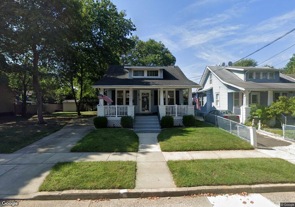
1723 Tinsman Ave Pennsauken, NJ 08110
Estimated Value: $333,000 - $375,000
4
Beds
2
Baths
1,617
Sq Ft
$215/Sq Ft
Est. Value
About This Home
This home is located at 1723 Tinsman Ave, Pennsauken, NJ 08110 and is currently estimated at $348,105, approximately $215 per square foot. 1723 Tinsman Ave is a home located in Camden County with nearby schools including Pennsauken High School, St. Peter Elementary School, and St. Cecilia School.
Ownership History
Date
Name
Owned For
Owner Type
Purchase Details
Closed on
Nov 7, 2008
Sold by
Home Renew Llc
Bought by
Jarman Wayne M and Bradshaw Jarman Tammy
Current Estimated Value
Home Financials for this Owner
Home Financials are based on the most recent Mortgage that was taken out on this home.
Original Mortgage
$181,018
Outstanding Balance
$118,626
Interest Rate
6.13%
Mortgage Type
FHA
Estimated Equity
$229,479
Purchase Details
Closed on
Feb 1, 2008
Sold by
Davis Steven B and Davis Donna M
Bought by
Home Renew Llc
Purchase Details
Closed on
Feb 5, 2002
Sold by
Twp Of Pennsauken Housing Auth
Bought by
Davis Steven B and Davis Donna M
Home Financials for this Owner
Home Financials are based on the most recent Mortgage that was taken out on this home.
Original Mortgage
$81,357
Interest Rate
7.04%
Create a Home Valuation Report for This Property
The Home Valuation Report is an in-depth analysis detailing your home's value as well as a comparison with similar homes in the area
Home Values in the Area
Average Home Value in this Area
Purchase History
| Date | Buyer | Sale Price | Title Company |
|---|---|---|---|
| Jarman Wayne M | $182,000 | -- | |
| Home Renew Llc | $165,991 | -- | |
| Davis Steven B | $82,000 | -- |
Source: Public Records
Mortgage History
| Date | Status | Borrower | Loan Amount |
|---|---|---|---|
| Open | Jarman Wayne M | $181,018 | |
| Previous Owner | Davis Steven B | $81,357 |
Source: Public Records
Tax History Compared to Growth
Tax History
| Year | Tax Paid | Tax Assessment Tax Assessment Total Assessment is a certain percentage of the fair market value that is determined by local assessors to be the total taxable value of land and additions on the property. | Land | Improvement |
|---|---|---|---|---|
| 2025 | $5,932 | $328,500 | $61,000 | $267,500 |
| 2024 | $5,817 | $136,300 | $46,500 | $89,800 |
| 2023 | $5,817 | $136,300 | $46,500 | $89,800 |
| 2022 | $5,260 | $136,300 | $46,500 | $89,800 |
| 2021 | $5,402 | $136,300 | $46,500 | $89,800 |
| 2020 | $4,839 | $136,300 | $46,500 | $89,800 |
| 2019 | $4,895 | $136,300 | $46,500 | $89,800 |
| 2018 | $4,920 | $136,300 | $46,500 | $89,800 |
| 2017 | $4,930 | $136,300 | $46,500 | $89,800 |
| 2016 | $4,841 | $136,300 | $46,500 | $89,800 |
| 2015 | $4,986 | $136,300 | $46,500 | $89,800 |
| 2014 | $4,600 | $82,700 | $24,000 | $58,700 |
Source: Public Records
Map
Nearby Homes
- 1666 Browning Rd
- 1903 Tinsman Ave
- 1828 47th St
- 1938 W River Dr
- 4747 Westfield Ave
- 1715 47th St
- 2154 Browning Rd
- 1506 Hollinshed Ave
- 5501 River Rd
- 1824 44th St
- 1722 44th St
- 5507 Wayne Ave
- 1744 43rd St
- 2217 Hollinshed Ave
- 6036 Washington Ave
- 2146 44th St
- 2254 Hollinshed Ave
- 2117 Scovel Ave
- 2117 Penn St
- 1408 Hillside Terrace
- 1719 Tinsman Ave
- 1729 Tinsman Ave
- 1735 Tinsman Ave
- 1713 Tinsman Ave
- 1728 Browning Rd
- 1714 Browning Rd
- 1736 Browning Rd Unit A
- 1736 Browning Rd Unit B
- 1736 Browning Rd
- 1741 Tinsman Ave
- 1722 Tinsman Ave
- 1728 Tinsman Ave
- 1718 Tinsman Ave
- 1742 Browning Rd
- 1734 Tinsman Ave
- 1712 Tinsman Ave
- 1708 Browning Rd
- 1738 Tinsman Ave
- 1747 Tinsman Ave
- 1706 Tinsman Ave