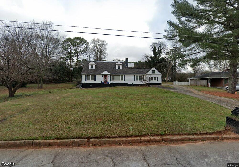
1723 Zemory Dr Tucker, GA 30084
Estimated Value: $535,000 - $678,000
5
Beds
4
Baths
3,723
Sq Ft
$158/Sq Ft
Est. Value
About This Home
This home is located at 1723 Zemory Dr, Tucker, GA 30084 and is currently estimated at $589,847, approximately $158 per square foot. 1723 Zemory Dr is a home located in DeKalb County with nearby schools including Brockett Elementary School, Tucker Middle School, and Tucker High School.
Ownership History
Date
Name
Owned For
Owner Type
Purchase Details
Closed on
Mar 25, 2002
Sold by
Debrini Albert and Debrini Armonia
Bought by
Williams Esther B
Current Estimated Value
Home Financials for this Owner
Home Financials are based on the most recent Mortgage that was taken out on this home.
Original Mortgage
$123,500
Outstanding Balance
$50,826
Interest Rate
6.85%
Mortgage Type
New Conventional
Estimated Equity
$539,021
Create a Home Valuation Report for This Property
The Home Valuation Report is an in-depth analysis detailing your home's value as well as a comparison with similar homes in the area
Home Values in the Area
Average Home Value in this Area
Purchase History
| Date | Buyer | Sale Price | Title Company |
|---|---|---|---|
| Williams Esther B | $130,000 | -- |
Source: Public Records
Mortgage History
| Date | Status | Borrower | Loan Amount |
|---|---|---|---|
| Open | Williams Esther B | $123,500 |
Source: Public Records
Tax History Compared to Growth
Tax History
| Year | Tax Paid | Tax Assessment Tax Assessment Total Assessment is a certain percentage of the fair market value that is determined by local assessors to be the total taxable value of land and additions on the property. | Land | Improvement |
|---|---|---|---|---|
| 2025 | $6,362 | $228,120 | $36,000 | $192,120 |
| 2024 | $5,317 | $177,680 | $36,000 | $141,680 |
| 2023 | $5,317 | $158,600 | $36,000 | $122,600 |
| 2022 | $3,989 | $124,960 | $27,520 | $97,440 |
| 2021 | $3,655 | $107,800 | $27,520 | $80,280 |
| 2020 | $2,461 | $73,040 | $17,520 | $55,520 |
| 2019 | $2,674 | $80,240 | $17,520 | $62,720 |
| 2018 | $2,811 | $90,880 | $17,520 | $73,360 |
| 2017 | $3,225 | $92,440 | $17,520 | $74,920 |
| 2016 | $3,236 | $95,120 | $17,520 | $77,600 |
| 2014 | $1,275 | $38,360 | $17,640 | $20,720 |
Source: Public Records
Map
Nearby Homes
- 1661 Zemory Dr
- 1661 Avon Ave
- 3620 Wind River Ct
- 3636 Castle Rock Way
- 3630 Prince Way
- 3533 Johns Rd
- 1608 Cooledge Rd
- 3453 Woodlawn Cir
- 1517 Vancouver Dr
- 1905 Robinhill Ct
- 1864 Stockton Dr
- 3722 S Marlborough Dr
- 1894 Hebron Hills Dr
- 1741 Montreal Rd
- 3952 Cedar Cir
- 1498 Sanden Ferry Dr
- 1445 Linkwood Ln
- 1362 Brockett Place Unit 1362
- 1926 Brocken Way
- 3816 Prescott Ridge Cir Unit 30
- 1715 Zemory Dr
- 1730 Saint Lawrence Cove
- 3153 Lawrenceville Hwy
- 1724 Saint Lawrence Cove
- 1738 Saint Lawrence Cove
- 3161 Lawrenceville Hwy
- 1707 Zemory Dr
- 1744 Saint Lawrence Cove
- 1718 Saint Lawrence Cove
- 1744 St Lawrence Cove
- 1722 Zemory Dr
- 0 Saint Lawrence Cove Unit 7317612
- 1712 Saint Lawrence Cove
- 1699 Zemory Dr
- 3143 Lawrenceville Hwy
- 1752 Saint Lawrence Cove
- 1708 Zemory Dr
- 1737 Saint Lawrence Cove
- 1731 Saint Lawrence Cove
- 1743 Saint Lawrence Cove