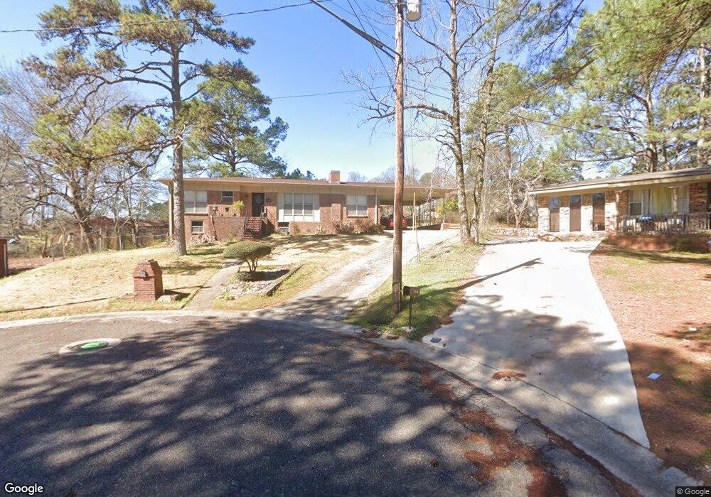
1724 A G Gaston Cir Birmingham, AL 35217
Airport Hills NeighborhoodEstimated Value: $130,000 - $185,000
3
Beds
2
Baths
2,569
Sq Ft
$65/Sq Ft
Est. Value
About This Home
This home is located at 1724 A G Gaston Cir, Birmingham, AL 35217 and is currently estimated at $165,967, approximately $64 per square foot. 1724 A G Gaston Cir is a home located in Jefferson County with nearby schools including Huffman High School, i3 Academy Middle School, and Integrity Christian Academy.
Ownership History
Date
Name
Owned For
Owner Type
Purchase Details
Closed on
Apr 12, 2000
Sold by
Burks Dorothy and Burks Darnell
Bought by
Haywood Alberta
Current Estimated Value
Create a Home Valuation Report for This Property
The Home Valuation Report is an in-depth analysis detailing your home's value as well as a comparison with similar homes in the area
Home Values in the Area
Average Home Value in this Area
Purchase History
| Date | Buyer | Sale Price | Title Company |
|---|---|---|---|
| Haywood Alberta | -- | -- |
Source: Public Records
Tax History Compared to Growth
Tax History
| Year | Tax Paid | Tax Assessment Tax Assessment Total Assessment is a certain percentage of the fair market value that is determined by local assessors to be the total taxable value of land and additions on the property. | Land | Improvement |
|---|---|---|---|---|
| 2024 | -- | $15,160 | -- | -- |
| 2022 | $0 | $11,240 | $1,060 | $10,180 |
| 2021 | $0 | $11,240 | $1,060 | $10,180 |
| 2020 | $0 | $11,240 | $1,060 | $10,180 |
| 2019 | $0 | $11,240 | $0 | $0 |
| 2018 | $0 | $10,700 | $0 | $0 |
| 2017 | $0 | $10,620 | $0 | $0 |
| 2016 | $0 | $10,620 | $0 | $0 |
| 2015 | -- | $10,620 | $0 | $0 |
| 2014 | $725 | $10,440 | $0 | $0 |
| 2013 | $725 | $10,440 | $0 | $0 |
Source: Public Records
Map
Nearby Homes
- 9208 Airport Rd
- 1874 Tarrant Huffman Rd Unit 37.002
- 1852 Tarrant Huffman Rd Unit 1
- 2459 Cunningham St
- 2436 Thomas St
- 9577 Eastpointe Cir
- 9601 Short St
- 2290 Treadwell Rd Unit 5
- 1105 Penfield Dr
- 9601 Bryant Ave
- 2024 Cedar St
- 9821 Airport Rd
- 1701 Enfield St
- 9924 Miller Ave
- 1801 Springfield St
- 9816 Westfield Rd
- 9651 Westfield Dr
- 9720 Westfield Place
- 2408 Tarrant Heights Rd
- 2033 E Lake Blvd
- 1716 A G Gaston Cir
- 1716 Gaston Rd
- 1717 A G Gaston Cir
- 1745 Overlook Cir
- 1725 Overlook Cir
- 1733 Overlook Cir
- 1751 Overlook Cir
- 1709 Gaston Rd
- 1709 A G Gaston Cir
- 1737 Overlook Cir
- 1717 Overlook Cir
- 1708 A G Gaston Cir
- 1759 Overlook Cir
- 1709 Overlook Cir
- 1716 Treadwell Rd
- 1724 Gaston Cir
- 9220 Airport Rd
- 1708 Treadwell Rd
- 1705 Overlook Cir
- 1763 Overlook Cir