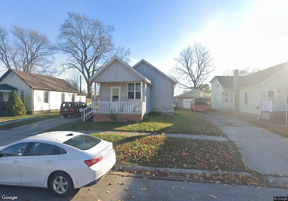
1724 Lyon St Port Huron, MI 48060
Estimated Value: $160,000 - $187,000
3
Beds
1
Bath
1,418
Sq Ft
$125/Sq Ft
Est. Value
About This Home
This home is located at 1724 Lyon St, Port Huron, MI 48060 and is currently estimated at $177,667, approximately $125 per square foot. 1724 Lyon St is a home located in St. Clair County with nearby schools including H.D. Crull Elementary School, Holland Woods Middle School, and Port Huron Northern High School.
Ownership History
Date
Name
Owned For
Owner Type
Purchase Details
Closed on
Jan 27, 2009
Sold by
Hsbc Mortgage Services Inc
Bought by
Young Troy D
Current Estimated Value
Purchase Details
Closed on
Nov 15, 2007
Sold by
Brock Thomas J
Bought by
Hsbc Mortgage Services Inc
Purchase Details
Closed on
May 13, 2005
Sold by
Seely Paul
Bought by
Brock Thomas J
Home Financials for this Owner
Home Financials are based on the most recent Mortgage that was taken out on this home.
Original Mortgage
$101,500
Interest Rate
6.99%
Mortgage Type
Adjustable Rate Mortgage/ARM
Create a Home Valuation Report for This Property
The Home Valuation Report is an in-depth analysis detailing your home's value as well as a comparison with similar homes in the area
Home Values in the Area
Average Home Value in this Area
Purchase History
| Date | Buyer | Sale Price | Title Company |
|---|---|---|---|
| Young Troy D | $17,500 | Tri County Title Agency Inc | |
| Hsbc Mortgage Services Inc | $64,321 | None Available | |
| Brock Thomas J | $101,500 | Great Lakes Title And Escrow |
Source: Public Records
Mortgage History
| Date | Status | Borrower | Loan Amount |
|---|---|---|---|
| Previous Owner | Brock Thomas J | $101,500 |
Source: Public Records
Tax History Compared to Growth
Tax History
| Year | Tax Paid | Tax Assessment Tax Assessment Total Assessment is a certain percentage of the fair market value that is determined by local assessors to be the total taxable value of land and additions on the property. | Land | Improvement |
|---|---|---|---|---|
| 2025 | $1,947 | $63,100 | $0 | $0 |
| 2024 | $1,688 | $58,600 | $0 | $0 |
| 2023 | $1,598 | $52,000 | $0 | $0 |
| 2022 | $1,582 | $44,600 | $0 | $0 |
| 2021 | $1,510 | $41,000 | $0 | $0 |
| 2020 | $1,516 | $38,200 | $38,200 | $0 |
| 2019 | $1,489 | $26,400 | $0 | $0 |
| 2018 | $1,456 | $26,400 | $0 | $0 |
| 2016 | $1,185 | $24,900 | $0 | $0 |
| 2015 | $1,163 | $22,600 | $22,600 | $0 |
| 2014 | $1,163 | $21,600 | $21,600 | $0 |
| 2013 | -- | $21,700 | $0 | $0 |
Source: Public Records
Map
Nearby Homes
- 1907 Riverside Dr
- 1819 Riverside Dr
- 1733 Whipple St
- 1649 Whipple St
- 1620 McBrady St
- 0000 Campau Ave
- 1433 Poplar St
- 2215 Hancock St
- 1417 Kearney St
- 29 Taylor St
- 2400 Stone St Unit 2414
- 2838 Elmwood St
- 2736 17th Ave
- 1116 Hancock St
- 1819 Kern St
- 1825 Kern St
- 2549 Riverwood Dr
- 2812 19th Ave
- 1321 Nelson St
- 2419 Cherry St
- 1718 Lyon St
- 1730 Lyon St
- 1734 Lyon St
- 1729 Lyon St
- 1738 Lyon St
- 1733 Lyon St
- 1713 Lyon St
- 1742 Lyon St
- 1714 Lyon St
- 1725 Lyon St
- 1704 Lyon St
- 1743 Lyon St
- 1710 Lyon St
- 1711 Mcpherson St
- 1745 Lyon St
- 1828 Riverside Dr
- 1824 Riverside Dr
- 1812 Riverside Dr
- 1725 Mcpherson St
- 1729 Mcpherson St Unit Bldg-Unit