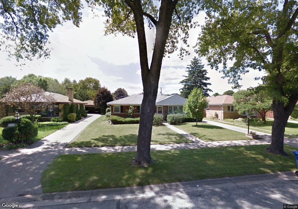
1724 Maple St Des Plaines, IL 60018
Estimated Value: $359,000 - $483,000
3
Beds
1
Bath
1,577
Sq Ft
$255/Sq Ft
Est. Value
About This Home
This home is located at 1724 Maple St, Des Plaines, IL 60018 and is currently estimated at $401,828, approximately $254 per square foot. 1724 Maple St is a home located in Cook County with nearby schools including South Elementary School, Algonquin Middle School, and Maine West High School.
Ownership History
Date
Name
Owned For
Owner Type
Purchase Details
Closed on
May 12, 2001
Sold by
Lucchesi James P
Bought by
Lasalle Bank National Assn and Trust #01-2552
Current Estimated Value
Purchase Details
Closed on
Sep 28, 1995
Sold by
Lamantia August J and Lamantia Virginia G
Bought by
Lucchesi James P
Home Financials for this Owner
Home Financials are based on the most recent Mortgage that was taken out on this home.
Original Mortgage
$70,000
Interest Rate
7.7%
Create a Home Valuation Report for This Property
The Home Valuation Report is an in-depth analysis detailing your home's value as well as a comparison with similar homes in the area
Home Values in the Area
Average Home Value in this Area
Purchase History
| Date | Buyer | Sale Price | Title Company |
|---|---|---|---|
| Lasalle Bank National Assn | -- | -- | |
| Lucchesi James P | $182,500 | Attorneys Title Guaranty Fun |
Source: Public Records
Mortgage History
| Date | Status | Borrower | Loan Amount |
|---|---|---|---|
| Previous Owner | Lucchesi James P | $70,000 |
Source: Public Records
Tax History
| Year | Tax Paid | Tax Assessment Tax Assessment Total Assessment is a certain percentage of the fair market value that is determined by local assessors to be the total taxable value of land and additions on the property. | Land | Improvement |
|---|---|---|---|---|
| 2025 | $6,600 | $36,000 | $7,236 | $28,764 |
| 2024 | $6,600 | $31,000 | $6,030 | $24,970 |
| 2023 | $6,393 | $31,000 | $6,030 | $24,970 |
| 2022 | $6,393 | $31,000 | $6,030 | $24,970 |
| 2021 | $6,411 | $26,851 | $5,025 | $21,826 |
| 2020 | $7,558 | $28,114 | $5,025 | $23,089 |
| 2019 | $7,578 | $31,589 | $5,025 | $26,564 |
| 2018 | $4,474 | $18,394 | $4,422 | $13,972 |
| 2017 | $5,330 | $21,517 | $4,422 | $17,095 |
| 2016 | $5,285 | $21,517 | $4,422 | $17,095 |
| 2015 | $5,881 | $22,075 | $3,819 | $18,256 |
| 2014 | $5,773 | $22,075 | $3,819 | $18,256 |
| 2013 | $5,611 | $22,075 | $3,819 | $18,256 |
Source: Public Records
Map
Nearby Homes
- 1845 Everett Ave
- 1640 S River Rd
- 1721 Prospect Ave
- 1754 E Lincoln Ave
- 1645 Illinois St
- 1689 S Elm St
- 1696 S Elm St
- 1445 Everett Ave
- 1700 E Forest Ave
- 1673 Spruce Ave
- 1370 Fargo Ave Unit E
- 2220 S Chestnut St
- 1561 E Walnut Ave
- 1080 Bogart St
- 1939 E Touhy Ave
- 1641 E Touhy Ave
- 1629 E Touhy Ave
- 1638 Oakwood Ave
- 700 Florence Dr
- 1524 Oakwood Ave
- 1712 Maple St
- 1732 Maple St
- 1740 Maple St
- 1740 Maple St
- 1704 Maple St
- 1717 Sycamore St
- 1717 Sycamore St
- 1725 Sycamore St
- 1731 Sycamore St
- 1703 Sycamore St
- 1703 Sycamore St
- 1739 Sycamore St
- 1752 Maple St
- 1733 Maple St
- 1711 Maple St
- 1694 Maple St
- 1737 Maple St
- 1747 Sycamore St
- 1705 Maple St
- 1760 Maple St
Your Personal Tour Guide
Ask me questions while you tour the home.