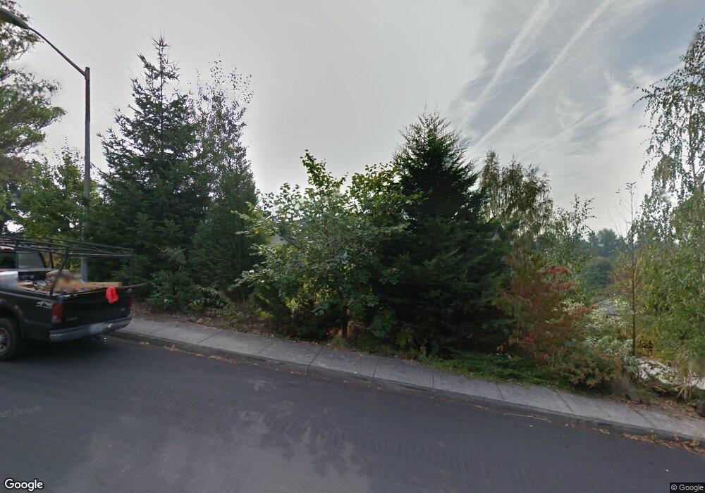
1724 N 10th St Washougal, WA 98671
Estimated Value: $651,000 - $743,000
3
Beds
3
Baths
2,620
Sq Ft
$266/Sq Ft
Est. Value
About This Home
This home is located at 1724 N 10th St, Washougal, WA 98671 and is currently estimated at $695,943, approximately $265 per square foot. 1724 N 10th St is a home located in Clark County with nearby schools including Hathaway Elementary School, Jemtegaard Middle School, and Washougal High School.
Ownership History
Date
Name
Owned For
Owner Type
Purchase Details
Closed on
Jun 18, 2001
Sold by
Lawson John G and Lawson Cheryl
Bought by
Manning Richard A and Manning Donna M
Current Estimated Value
Home Financials for this Owner
Home Financials are based on the most recent Mortgage that was taken out on this home.
Original Mortgage
$137,000
Outstanding Balance
$52,186
Interest Rate
7.14%
Estimated Equity
$643,757
Purchase Details
Closed on
Jan 27, 1999
Sold by
Lleadco
Bought by
Lawson John G and Lawson Cheryl
Create a Home Valuation Report for This Property
The Home Valuation Report is an in-depth analysis detailing your home's value as well as a comparison with similar homes in the area
Home Values in the Area
Average Home Value in this Area
Purchase History
| Date | Buyer | Sale Price | Title Company |
|---|---|---|---|
| Manning Richard A | $217,300 | Fidelity National Title Co | |
| Lawson John G | -- | Charter Title Corporation |
Source: Public Records
Mortgage History
| Date | Status | Borrower | Loan Amount |
|---|---|---|---|
| Open | Manning Richard A | $137,000 |
Source: Public Records
Tax History Compared to Growth
Tax History
| Year | Tax Paid | Tax Assessment Tax Assessment Total Assessment is a certain percentage of the fair market value that is determined by local assessors to be the total taxable value of land and additions on the property. | Land | Improvement |
|---|---|---|---|---|
| 2025 | $5,497 | $558,296 | $130,000 | $428,296 |
| 2024 | $5,248 | $579,591 | $169,000 | $410,591 |
| 2023 | $5,437 | $579,066 | $171,600 | $407,466 |
| 2022 | $5,276 | $587,545 | $174,200 | $413,345 |
| 2021 | $5,160 | $494,747 | $149,500 | $345,247 |
| 2020 | $4,619 | $453,987 | $136,500 | $317,487 |
| 2019 | $4,192 | $412,799 | $130,000 | $282,799 |
| 2018 | $4,354 | $396,088 | $0 | $0 |
| 2017 | $3,805 | $339,562 | $0 | $0 |
| 2016 | $3,634 | $325,954 | $0 | $0 |
| 2015 | $3,532 | $284,678 | $0 | $0 |
| 2014 | -- | $275,236 | $0 | $0 |
| 2013 | -- | $239,988 | $0 | $0 |
Source: Public Records
Map
Nearby Homes