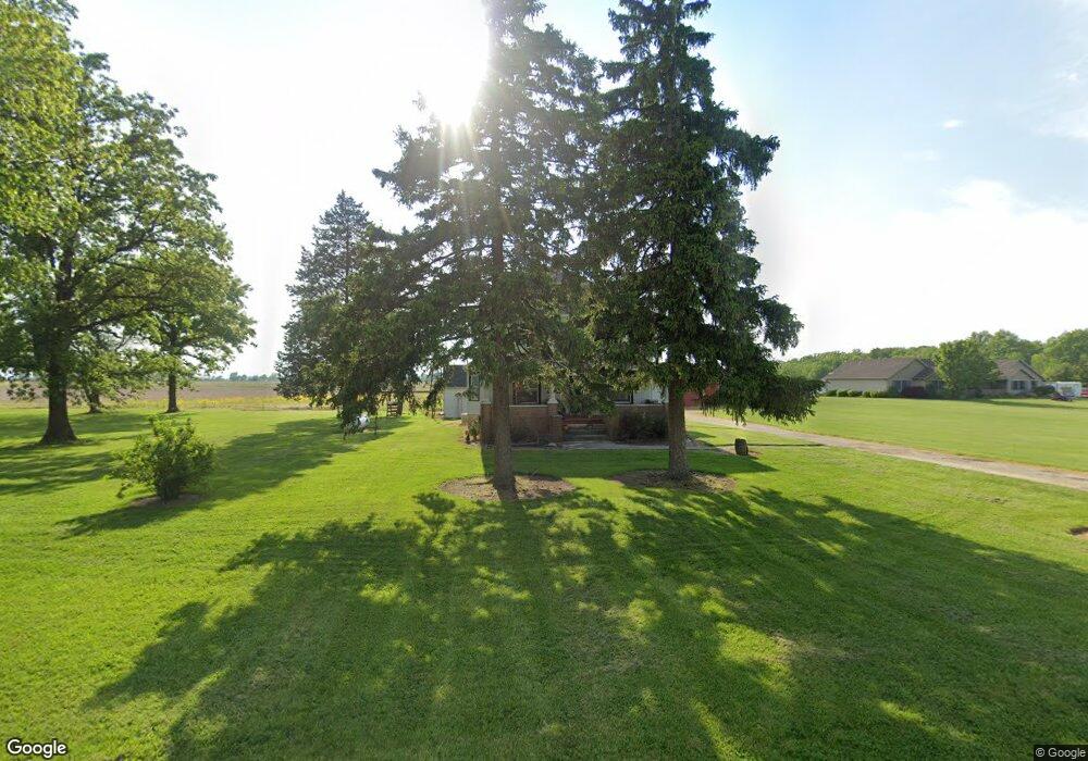
1724 N State Route 590 Graytown, OH 43432
Estimated Value: $232,731 - $287,000
4
Beds
2
Baths
1,850
Sq Ft
$135/Sq Ft
Est. Value
About This Home
This home is located at 1724 N State Route 590, Graytown, OH 43432 and is currently estimated at $248,933, approximately $134 per square foot. 1724 N State Route 590 is a home with nearby schools including Oak Harbor High School.
Ownership History
Date
Name
Owned For
Owner Type
Purchase Details
Closed on
Apr 29, 2022
Sold by
Jacob Hasselbach
Bought by
Hasselbach Jacob
Current Estimated Value
Home Financials for this Owner
Home Financials are based on the most recent Mortgage that was taken out on this home.
Original Mortgage
$103,000
Outstanding Balance
$97,715
Interest Rate
5.1%
Mortgage Type
New Conventional
Estimated Equity
$151,218
Purchase Details
Closed on
Jul 5, 2016
Sold by
Dusseau Donna L
Bought by
Hasselbach Jacob and Hasselbach Krista
Home Financials for this Owner
Home Financials are based on the most recent Mortgage that was taken out on this home.
Original Mortgage
$90,811
Interest Rate
3.99%
Mortgage Type
FHA
Purchase Details
Closed on
May 31, 2011
Sold by
Lajti Danielle K and Lajti Ronald P
Bought by
Lajti Danielle K and Lajti Ronald P
Home Financials for this Owner
Home Financials are based on the most recent Mortgage that was taken out on this home.
Original Mortgage
$38,970
Interest Rate
1.5%
Mortgage Type
New Conventional
Purchase Details
Closed on
Dec 28, 2010
Sold by
Dusseau Donna L
Bought by
Lajti Danielle K and Lajti Ronald P
Home Financials for this Owner
Home Financials are based on the most recent Mortgage that was taken out on this home.
Original Mortgage
$43,302
Interest Rate
4.16%
Mortgage Type
Future Advance Clause Open End Mortgage
Purchase Details
Closed on
Jan 14, 2008
Sold by
Dusseau Donna L
Bought by
Myerholtz Noah T and Green Katherine K
Create a Home Valuation Report for This Property
The Home Valuation Report is an in-depth analysis detailing your home's value as well as a comparison with similar homes in the area
Home Values in the Area
Average Home Value in this Area
Purchase History
| Date | Buyer | Sale Price | Title Company |
|---|---|---|---|
| Hasselbach Jacob | -- | Diaz Anselmo & Associates Pa | |
| Hasselbach Jacob | $105,000 | Attorney | |
| Lajti Danielle K | -- | Attorney | |
| Lajti Danielle K | -- | Attorney | |
| Lajti Danielle K | $86,600 | Attorney | |
| Myerholtz Noah T | $7,500 | Attorney |
Source: Public Records
Mortgage History
| Date | Status | Borrower | Loan Amount |
|---|---|---|---|
| Open | Hasselbach Jacob | $103,000 | |
| Previous Owner | Hasselbach Jacob | $90,811 | |
| Previous Owner | Lajti Danielle K | $38,970 | |
| Previous Owner | Lajti Danielle K | $43,302 |
Source: Public Records
Tax History Compared to Growth
Tax History
| Year | Tax Paid | Tax Assessment Tax Assessment Total Assessment is a certain percentage of the fair market value that is determined by local assessors to be the total taxable value of land and additions on the property. | Land | Improvement |
|---|---|---|---|---|
| 2024 | $2,374 | $64,775 | $15,442 | $49,333 |
| 2023 | $2,374 | $52,045 | $10,591 | $41,454 |
| 2022 | $2,153 | $52,045 | $10,591 | $41,454 |
| 2021 | $2,168 | $52,040 | $10,590 | $41,450 |
| 2020 | $1,923 | $44,660 | $9,460 | $35,200 |
| 2019 | $1,858 | $44,660 | $9,460 | $35,200 |
| 2018 | $1,703 | $44,660 | $9,460 | $35,200 |
| 2017 | $1,316 | $37,880 | $7,690 | $30,190 |
| 2016 | $1,021 | $37,880 | $7,690 | $30,190 |
| 2015 | $1,037 | $39,060 | $8,870 | $30,190 |
| 2014 | $1,007 | $37,470 | $8,870 | $28,600 |
| 2013 | $1,007 | $37,470 | $8,870 | $28,600 |
Source: Public Records
Map
Nearby Homes
- 14642 W 3rd St
- 14339 3rd St
- 770 N State Route 590
- 14339 & 14363 W 3rd St
- 14046 3rd St
- 3784 N Stange Rd
- 2349 N Elliston Trowbridge Rd
- 13538 W Velliquette Rd
- 15115 W Portage River Rd S Unit 12222
- 12342 W State Route 105
- 12672 W Portage River Rd S
- 0 W Walbridge E Unit 6135427
- 506 W Water St
- 336 N Church St
- 236 W Main St
- 11968 W Michael Dr
- 214 N Church St
- 130 E Water St
- 14328 W State Route 163
- 147 E Water St
- 1800 N State Route 590
- 1725 N State Route 590
- 1910 N State Route 590
- 1675 N State Route 590
- 1850 N State Route 590
- 1705 N State Route 590
- 1580 N State Route 590
- 15181 W Rock Bottom Dr
- 1950 N State Route 590
- 1939 N State Route 590
- 15231 W Rock Bottom Dr
- 15231 W Rock Bottom Dr
- 1982 N State Route 590
- 1955 N State Route 590
- 15195 W True Rd
- 15235 W True Rd
- 14829 W True Rd
- 2110 N State Route 590
- 2150 N State Route 590
- 15411 W True Rd