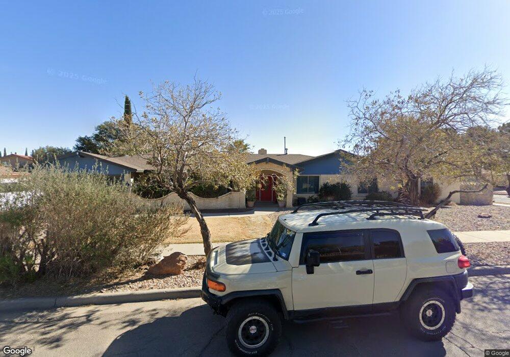
1724 Tommy Aaron Dr El Paso, TX 79936
Vista Hills NeighborhoodEstimated Value: $458,672 - $495,000
5
Beds
3
Baths
2,907
Sq Ft
$166/Sq Ft
Est. Value
About This Home
This home is located at 1724 Tommy Aaron Dr, El Paso, TX 79936 and is currently estimated at $483,168, approximately $166 per square foot. 1724 Tommy Aaron Dr is a home located in El Paso County with nearby schools including Tierra Del Sol Elementary School, J M Hanks High School, and EL PASO LEADERSHIP ACADEMY - MIDDLE EAST.
Ownership History
Date
Name
Owned For
Owner Type
Purchase Details
Closed on
Oct 20, 2021
Sold by
Rosson and Priscilla
Bought by
Garcia Monica
Current Estimated Value
Home Financials for this Owner
Home Financials are based on the most recent Mortgage that was taken out on this home.
Original Mortgage
$80,000
Outstanding Balance
$72,953
Interest Rate
2.8%
Mortgage Type
Stand Alone Second
Estimated Equity
$410,215
Purchase Details
Closed on
Aug 10, 2005
Sold by
Edwards Lucarol
Bought by
Rosson Michael and Rosson Priscilla
Home Financials for this Owner
Home Financials are based on the most recent Mortgage that was taken out on this home.
Original Mortgage
$190,000
Interest Rate
5.65%
Mortgage Type
Fannie Mae Freddie Mac
Create a Home Valuation Report for This Property
The Home Valuation Report is an in-depth analysis detailing your home's value as well as a comparison with similar homes in the area
Home Values in the Area
Average Home Value in this Area
Purchase History
| Date | Buyer | Sale Price | Title Company |
|---|---|---|---|
| Garcia Monica | -- | New Title Company Name | |
| Rosson Michael | -- | Sierra |
Source: Public Records
Mortgage History
| Date | Status | Borrower | Loan Amount |
|---|---|---|---|
| Open | Garcia Monica | $80,000 | |
| Previous Owner | Rosson Michael | $190,000 |
Source: Public Records
Tax History Compared to Growth
Tax History
| Year | Tax Paid | Tax Assessment Tax Assessment Total Assessment is a certain percentage of the fair market value that is determined by local assessors to be the total taxable value of land and additions on the property. | Land | Improvement |
|---|---|---|---|---|
| 2025 | $8,060 | $420,077 | -- | -- |
| 2024 | $8,060 | $381,888 | -- | -- |
| 2023 | $7,627 | $347,171 | $0 | $0 |
| 2022 | $9,801 | $315,610 | $49,747 | $265,863 |
| 2021 | $10,084 | $315,610 | $49,747 | $265,863 |
| 2020 | $8,908 | $282,019 | $46,686 | $235,333 |
| 2018 | $8,770 | $282,019 | $46,686 | $235,333 |
| 2017 | $8,358 | $273,422 | $46,686 | $226,736 |
| 2016 | $8,879 | $290,488 | $46,686 | $243,802 |
| 2015 | $7,279 | $290,488 | $46,686 | $243,802 |
| 2014 | $7,279 | $291,223 | $46,686 | $244,537 |
Source: Public Records
Map
Nearby Homes
- 11204 Bob Mitchell Dr
- 1617 Tommy Aaron Dr
- 1607 Tommy Aaron Dr
- 1703 Robert Wynn St
- 11262 Enid Wilson Ln
- 11268 Enid Wilson Ln
- 1700 Jerry Abbott St
- 1739 Jerry Abbott St
- 1664 Dick Ritter St
- 1804 Jerry Abbott St
- 11157 Leo Collins Dr
- 1628 Bert Green Dr
- 1624 Lou Graham Dr
- 3655 George Dieter Dr
- 1605 Larry Wadkins Dr
- 1868 Tom Bolt Dr
- 1817 Hugh Royer Place
- 11433 Bunky Henry Ln
- 1913 Seagull Dr
- 11470 Ed Merrins Dr
- 1728 Tommy Aaron Dr
- 11205 Bob Mitchell Dr
- 1705 Larry Hinson Dr
- 1716 Tommy Aaron Dr
- 1725 Tommy Aaron Dr
- 1732 Tommy Aaron Dr
- 1729 Tommy Aaron Dr
- 1709 Larry Hinson Dr
- 1721 Tommy Aaron Dr
- 1721 Tommy Aaron Dr Unit xx
- 11208 Bob Mitchell Dr
- 1713 Larry Hinson Dr
- 1735 Tommy Aaron Dr
- 11201 Dick Lotz Ln
- 1736 Tommy Aaron Dr
- 11205 Dick Lotz Ln
- 11213 Bob Mitchell Dr
- 1717 Tommy Aaron Dr
- 1719 Larry Hinson Dr
- 11212 Bob Mitchell Dr