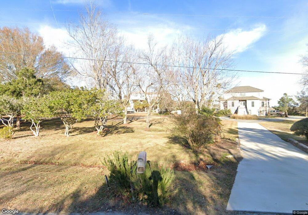
1725 Corcus Ferry Rd Hampstead, NC 28443
Estimated Value: $1,169,000 - $2,164,856
3
Beds
4
Baths
6,680
Sq Ft
$224/Sq Ft
Est. Value
About This Home
This home is located at 1725 Corcus Ferry Rd, Hampstead, NC 28443 and is currently estimated at $1,496,464, approximately $224 per square foot. 1725 Corcus Ferry Rd is a home located in Pender County with nearby schools including Topsail Elementary School, Topsail Middle School, and Topsail High School.
Ownership History
Date
Name
Owned For
Owner Type
Purchase Details
Closed on
May 30, 2025
Sold by
Warner Pamela Stocks and Warner Jeffrey P
Bought by
Paradise Found Trust and Warner
Current Estimated Value
Purchase Details
Closed on
Apr 29, 1999
Bought by
Warner Pamela Stocks and Warner Jeffrey
Create a Home Valuation Report for This Property
The Home Valuation Report is an in-depth analysis detailing your home's value as well as a comparison with similar homes in the area
Home Values in the Area
Average Home Value in this Area
Purchase History
| Date | Buyer | Sale Price | Title Company |
|---|---|---|---|
| Paradise Found Trust | -- | None Listed On Document | |
| Warner Pamela Stocks | $190,000 | -- |
Source: Public Records
Tax History
| Year | Tax Paid | Tax Assessment Tax Assessment Total Assessment is a certain percentage of the fair market value that is determined by local assessors to be the total taxable value of land and additions on the property. | Land | Improvement |
|---|---|---|---|---|
| 2025 | $8,032 | $2,206,176 | $419,443 | $1,786,733 |
| 2024 | $8,032 | $846,744 | $242,849 | $603,895 |
| 2023 | $7,087 | $845,904 | $242,849 | $603,055 |
| 2022 | $7,087 | $838,034 | $242,849 | $595,185 |
| 2021 | $7,087 | $838,034 | $242,849 | $595,185 |
| 2020 | $10,353 | $1,230,448 | $410,264 | $820,184 |
| 2019 | $4,891 | $574,302 | $410,264 | $164,038 |
| 2018 | $11,354 | $1,287,971 | $466,020 | $821,951 |
| 2017 | $11,354 | $1,287,971 | $466,020 | $821,951 |
| 2016 | $11,225 | $1,287,971 | $466,020 | $821,951 |
| 2015 | $11,208 | $1,287,971 | $466,020 | $821,951 |
| 2014 | $8,715 | $1,287,971 | $466,020 | $821,951 |
| 2013 | -- | $1,287,971 | $466,020 | $821,951 |
| 2012 | -- | $1,287,971 | $466,020 | $821,951 |
Source: Public Records
Map
Nearby Homes
- 109c Corcus Ferry Rd
- 378 Aster Place
- 103 Broadview Ln
- 163 Voyager Way
- 7 Waterfront Place
- 11 Amidships Ln
- 187 Tilloo Cut Way
- 232 Shoal Ave
- 218 Olde Point Loop
- 133 Tilloo Cut Way
- 552 Lea Dr
- 140 E Keel Dr
- 105 White Heron Cove Rd
- 130 Iris Way
- 167 Hydrangea Ln
- 416 Lea Dr
- 145 W Keel Dr
- 197 Jackline Dr
- 1984 Kings Landing Rd
- 107 Weir Dr
- 1751 Corcus Ferry Rd
- 1709 Corcus Ferry Rd
- 101 Marina Harbor
- 1675 Corcus Ferry Rd
- 1724 Corcus Ferry Rd
- 102 Blue Heron Ln
- 1836 Corcus Ferry Rd
- 1812 Corcus Ferry Rd
- 1 Blue Heron Ln
- B2 Blue Heron Ln
- 1832 Corcus Ferry Rd
- 1617 Corcus Ferry Rd
- 104 Blue Heron Ln
- 1636 Corcus Ferry Rd
- 1760 Corcus Ferry Rd
- 106 Blue Heron Ln
- 94 Howards Ln
- 191 Howards Ln
- 140 Howards Ln
- 1567 Corcus Ferry Rd
Your Personal Tour Guide
Ask me questions while you tour the home.