17252 Westgrove Dr Macomb, MI 48042
Estimated Value: $214,000 - $292,000
2
Beds
2
Baths
1,100
Sq Ft
$241/Sq Ft
Est. Value
About This Home
This home is located at 17252 Westgrove Dr, Macomb, MI 48042 and is currently estimated at $264,613, approximately $240 per square foot. 17252 Westgrove Dr is a home located in Macomb County with nearby schools including Sequoyah Elementary School, Iroquois Middle School, and Dakota High School.
Ownership History
Date
Name
Owned For
Owner Type
Purchase Details
Closed on
May 21, 2024
Sold by
Spurrier Rosanne and Spurrier William
Bought by
Spurrier Lorenzo
Current Estimated Value
Purchase Details
Closed on
Apr 9, 2024
Sold by
Carlesimo Enza
Bought by
Spurrier Rosanne and Spurrier William
Purchase Details
Closed on
Jun 19, 2023
Sold by
Carlesimo Enza and Bonanni Rosena
Bought by
Carlesimo Enza
Purchase Details
Closed on
Aug 10, 2017
Sold by
Carlesimo Enza
Bought by
Carlesimo Enza and Bonanni Rosena
Purchase Details
Closed on
Aug 4, 2016
Sold by
Ales Rose C and Ales Rose C Revocable Agreement Of
Bought by
Carlesimo Enza
Purchase Details
Closed on
Oct 4, 2008
Sold by
Ales Rose C
Bought by
Ales Rose C
Create a Home Valuation Report for This Property
The Home Valuation Report is an in-depth analysis detailing your home's value as well as a comparison with similar homes in the area
Home Values in the Area
Average Home Value in this Area
Purchase History
| Date | Buyer | Sale Price | Title Company |
|---|---|---|---|
| Spurrier Lorenzo | -- | None Listed On Document | |
| Spurrier Rosanne | $269,900 | Visionary Title | |
| Spurrier Rosanne | $269,900 | Visionary Title | |
| Carlesimo Enza | -- | None Listed On Document | |
| Carlesimo Enza | -- | Greater Macomb Title Agency | |
| Carlesimo Enza | $140,000 | -- | |
| Ales Rose C | -- | Attorney |
Source: Public Records
Tax History Compared to Growth
Tax History
| Year | Tax Paid | Tax Assessment Tax Assessment Total Assessment is a certain percentage of the fair market value that is determined by local assessors to be the total taxable value of land and additions on the property. | Land | Improvement |
|---|---|---|---|---|
| 2025 | $3,075 | $119,900 | $0 | $0 |
| 2024 | $2,368 | $107,900 | $0 | $0 |
| 2023 | $2,246 | $98,200 | $0 | $0 |
| 2022 | $2,790 | $94,400 | $0 | $0 |
| 2021 | $2,714 | $94,000 | $0 | $0 |
| 2020 | $2,060 | $91,700 | $0 | $0 |
| 2019 | $2,511 | $83,200 | $0 | $0 |
| 2018 | $2,446 | $79,500 | $0 | $0 |
| 2017 | $2,408 | $70,510 | $18,500 | $52,010 |
| 2016 | $1,604 | $70,490 | $0 | $0 |
| 2015 | $1,583 | $61,150 | $0 | $0 |
| 2014 | $1,583 | $51,560 | $12,500 | $39,060 |
| 2013 | $2,340 | $51,560 | $0 | $0 |
Source: Public Records
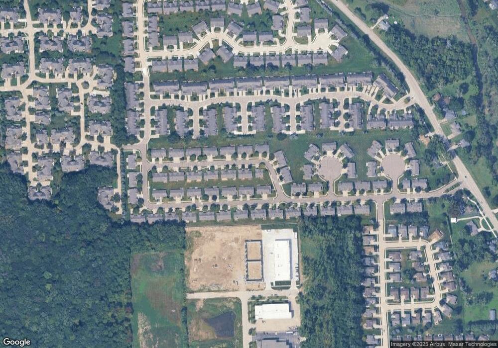
Map
Nearby Homes
- 52105 Westfield Dr Unit 31
- 17419 Garland Dr Unit 3
- 16841 Coral Ln
- 51900 Romeo Plank Rd
- 16726 Gemstone Dr Unit 82
- 52219 Heatherstone Ave
- 18039 Humber Bridge Dr Unit 62
- 16768 Pearlcreek Ct Unit 39
- 16724 Shale Ct
- 16876 Pebble Ct Unit 120
- 16816 Pebble Ct Unit 81
- 52143 Wolcot Ct
- 52921 Paint Creek Dr Unit 2
- 53005 Gregory Dr
- 52420 Wellington Valley Dr
- 50675 Romeo Plank Rd
- 52600 Wellington Valley Dr
- 16040 Violet Dr
- 52937 Wellington Valley Dr
- Bridgeview Ranch Plan at Wellington Estates
- 17252 Westgrove Dr Unit 53
- 17234 Westgrove Dr
- 17270 Westgrove Dr Unit 54
- 17239 Westgrove Dr
- 17198 Westgrove Dr
- 17257 Westgrove Dr Unit 46
- 17273 Mayfield Dr Unit 58
- 17291 Mayfield Dr
- 17216 Westgrove Dr
- 17275 Westgrove Dr Unit 45
- 17275 Westgrove Dr
- 17293 Westgrove Dr
- 17309 Mayfield Dr
- 17327 Mayfield Dr
- 17311 Westgrove Dr
- 17203 Westgrove Dr
- 17221 Westgrove Dr
- 17237 Mayfield Dr
- 17255 Mayfield Dr
- 17237 Mayfield Dr Unit 60