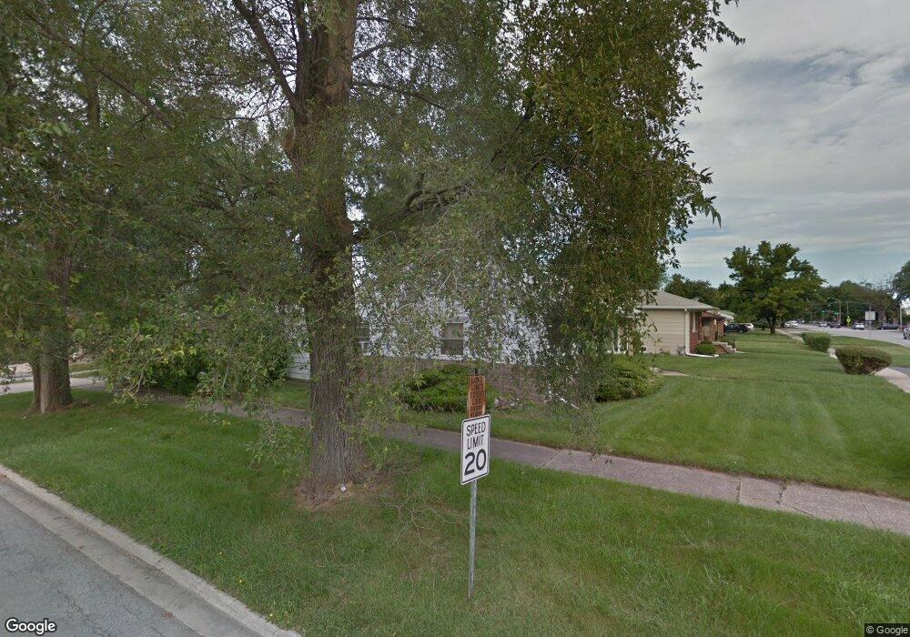
17258 Burnham Ave Lansing, IL 60438
Estimated Value: $82,000 - $146,000
2
Beds
1
Bath
1,000
Sq Ft
$126/Sq Ft
Est. Value
About This Home
This home is located at 17258 Burnham Ave, Lansing, IL 60438 and is currently estimated at $125,955, approximately $125 per square foot. 17258 Burnham Ave is a home located in Cook County with nearby schools including Reavis Elementary School, Memorial Jr High School, and Thornton Fractnl So High School.
Ownership History
Date
Name
Owned For
Owner Type
Purchase Details
Closed on
Nov 2, 2023
Sold by
Nwannewuihe Almer J
Bought by
Chicago Trust Company Na
Current Estimated Value
Purchase Details
Closed on
Nov 15, 2019
Sold by
The Chicago Trust Company N A
Bought by
Nwannesuihe Almer J
Purchase Details
Closed on
Jun 28, 2012
Sold by
Nwannewuihe Johnson Almer and Nwannewuihe Anoribe
Bought by
The Chicago Trust Company Na and Trust #Bev-3469
Purchase Details
Closed on
Jun 15, 2012
Sold by
Amerski Mary E
Bought by
Nwanmnewulhe Almer Jean Johnson and Nwannewulhe Anoribe G
Create a Home Valuation Report for This Property
The Home Valuation Report is an in-depth analysis detailing your home's value as well as a comparison with similar homes in the area
Home Values in the Area
Average Home Value in this Area
Purchase History
| Date | Buyer | Sale Price | Title Company |
|---|---|---|---|
| Chicago Trust Company Na | -- | None Listed On Document | |
| Nwannesuihe Almer J | -- | None Available | |
| The Chicago Trust Company Na | -- | None Available | |
| Nwanmnewulhe Almer Jean Johnson | $32,000 | Stewart Title Company |
Source: Public Records
Tax History Compared to Growth
Tax History
| Year | Tax Paid | Tax Assessment Tax Assessment Total Assessment is a certain percentage of the fair market value that is determined by local assessors to be the total taxable value of land and additions on the property. | Land | Improvement |
|---|---|---|---|---|
| 2024 | $3,656 | $7,556 | $1,530 | $6,026 |
| 2023 | $3,185 | $7,556 | $1,530 | $6,026 |
| 2022 | $3,185 | $4,902 | $1,339 | $3,563 |
| 2021 | $3,098 | $4,900 | $1,338 | $3,562 |
| 2020 | $2,875 | $4,900 | $1,338 | $3,562 |
| 2019 | $2,708 | $4,757 | $1,243 | $3,514 |
| 2018 | $2,871 | $5,138 | $1,243 | $3,895 |
| 2017 | $3,110 | $5,513 | $1,243 | $4,270 |
| 2016 | $2,375 | $4,344 | $1,147 | $3,197 |
| 2015 | $2,207 | $4,344 | $1,147 | $3,197 |
| 2014 | $2,177 | $4,344 | $1,147 | $3,197 |
| 2013 | $2,556 | $5,677 | $1,147 | $4,530 |
Source: Public Records
Map
Nearby Homes
- 17318 Walter St
- 17256 Walter St
- 17303 Roy St
- 3253 Bernice Rd
- 3026 Bernice Rd Unit 308
- 17153 Walter St
- 17226 Community St
- 17303 Chicago Ave
- 17218 Park Ave
- 17132 Walter St
- 17331 Community St
- 17335 Community St
- 17157 Chicago Ave
- 2950 Bernice Rd
- 3425 Bernice Ave
- 17518 Roy St
- 3409 173rd Place
- 17057 Park Ave
- 17048 Lorenz Ave
- 17519 Community St
- 17258 Burnham Ave
- 17252 Burnham Ave
- 17252 Burnham Ave
- 17246 Burnham Ave
- 17302 Burnham Ave
- 17248 Burnham Ave
- 17257 Greenbay Ave
- 17253 Greenbay Ave
- 17306 Burnham Ave
- 17306 Burnham Ave
- 17240 Burnham Ave
- 17247 Greenbay Ave
- 17303 Greenbay Ave
- 17241 Greenbay Ave
- 17253 Burnham Ave
- 17253 Burnham Ave
- 17307 Greenbay Ave
- 17314 Burnham Ave
- 17236 Burnham Ave
- 17236 Burnham Ave