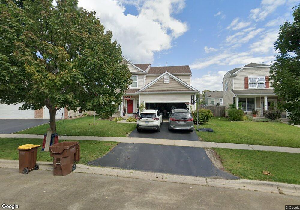
1726 Butterfield Rd Woodstock, IL 60098
Estimated Value: $329,540 - $384,000
--
Bed
--
Bath
--
Sq Ft
6,055
Sq Ft Lot
About This Home
This home is located at 1726 Butterfield Rd, Woodstock, IL 60098 and is currently estimated at $351,635. 1726 Butterfield Rd is a home located in McHenry County with nearby schools including Mary Endres Elementary School, Northwood Middle School, and Woodstock North High School.
Ownership History
Date
Name
Owned For
Owner Type
Purchase Details
Closed on
May 12, 2025
Sold by
Lee Keith M and Lee Jodi L
Bought by
Lee Keith M
Current Estimated Value
Home Financials for this Owner
Home Financials are based on the most recent Mortgage that was taken out on this home.
Original Mortgage
$330,000
Outstanding Balance
$328,738
Interest Rate
6.25%
Mortgage Type
VA
Estimated Equity
$22,897
Purchase Details
Closed on
Oct 1, 2009
Sold by
Centex Homes
Bought by
Lee Keith M and Lee Jodl L
Home Financials for this Owner
Home Financials are based on the most recent Mortgage that was taken out on this home.
Original Mortgage
$141,346
Interest Rate
5.07%
Mortgage Type
FHA
Create a Home Valuation Report for This Property
The Home Valuation Report is an in-depth analysis detailing your home's value as well as a comparison with similar homes in the area
Home Values in the Area
Average Home Value in this Area
Purchase History
| Date | Buyer | Sale Price | Title Company |
|---|---|---|---|
| Lee Keith M | -- | None Listed On Document | |
| Lee Keith M | $193,915 | Chicago Title |
Source: Public Records
Mortgage History
| Date | Status | Borrower | Loan Amount |
|---|---|---|---|
| Open | Lee Keith M | $330,000 | |
| Previous Owner | Lee Keith M | $141,346 |
Source: Public Records
Tax History Compared to Growth
Tax History
| Year | Tax Paid | Tax Assessment Tax Assessment Total Assessment is a certain percentage of the fair market value that is determined by local assessors to be the total taxable value of land and additions on the property. | Land | Improvement |
|---|---|---|---|---|
| 2024 | -- | $104,420 | $25,637 | $78,783 |
| 2023 | $5,238 | $95,492 | $23,445 | $72,047 |
| 2022 | $5,238 | $83,841 | $19,537 | $64,304 |
| 2021 | $5,238 | $78,006 | $18,177 | $59,829 |
| 2020 | $5,238 | $73,960 | $17,234 | $56,726 |
| 2019 | $5,238 | $69,635 | $16,226 | $53,409 |
| 2018 | $0 | $61,264 | $15,221 | $46,043 |
| 2017 | $5,238 | $57,498 | $14,285 | $43,213 |
| 2016 | $5,215 | $53,979 | $13,411 | $40,568 |
| 2013 | -- | $45,519 | $13,287 | $32,232 |
Source: Public Records
Map
Nearby Homes
- 1808 Powers Rd
- 1819 Woodside Dr
- 908 Hickory Rd
- 905 Hickory Rd
- 1721 Yasgur Dr
- 1530 Hickory Rd Unit A
- 1401 Rhett Place
- 105 Terry Ct
- 603 Handel Ln
- 214 Raffel Rd
- 109 Raffel Rd
- 2801 Haydn St
- 1626 Wheeler St
- 244 Joseph St
- 1546 Wheeler St
- Block 153 Joseph St
- 935 Marvel Ave
- 871 Hickman Ln
- 1891 Wicker St Unit 3
- 709 Mchenry Ave
- 1736 Butterfield Rd
- 1716 Butterfield Rd
- 1725 Powers Rd
- 1715 Powers Rd
- 1735 Powers Rd
- 1746 Butterfield Rd
- 1706 Butterfield Rd
- 1745 Powers Rd
- 1705 Powers Rd
- 1756 Butterfield Rd
- 1755 Powers Rd
- 1766 Butterfield Rd
- 1724 Powers Rd
- 1734 Powers Rd
- 1714 Powers Rd
- 1765 Powers Rd
- 1744 Powers Rd
- 780 Butterfield Rd
- 770 Butterfield Rd
- 1704 Powers Rd