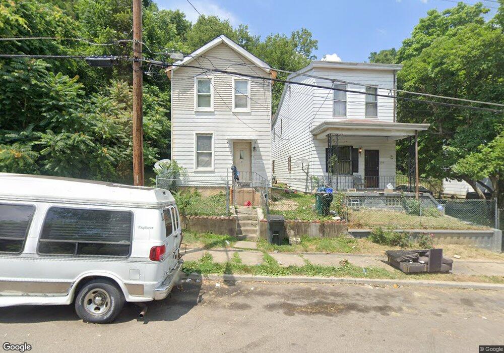
1726 Denham St Cincinnati, OH 45225
North Fairmount NeighborhoodEstimated Value: $67,219 - $99,000
2
Beds
1
Bath
1,165
Sq Ft
$72/Sq Ft
Est. Value
About This Home
This home is located at 1726 Denham St, Cincinnati, OH 45225 and is currently estimated at $84,305, approximately $72 per square foot. 1726 Denham St is a home located in Hamilton County with nearby schools including Ethel M. Taylor Academy, Robert A. Taft Information Technology High School, and Gilbert A. Dater High School.
Ownership History
Date
Name
Owned For
Owner Type
Purchase Details
Closed on
May 27, 2014
Sold by
Boyd George
Bought by
Davis Zurlond
Current Estimated Value
Purchase Details
Closed on
Dec 13, 2006
Sold by
Deutsche Bank National Trust Co
Bought by
Boyd George
Purchase Details
Closed on
Apr 19, 2006
Sold by
Bess Jan and Bess Wayne
Bought by
Deutsche Bank National Trust Co and Argent Securities Inc Asset Backed Pass
Purchase Details
Closed on
Feb 25, 2004
Sold by
Collins Johnny Ray and Collins Ray
Bought by
Bess Jan
Home Financials for this Owner
Home Financials are based on the most recent Mortgage that was taken out on this home.
Original Mortgage
$60,000
Interest Rate
9.3%
Mortgage Type
Unknown
Create a Home Valuation Report for This Property
The Home Valuation Report is an in-depth analysis detailing your home's value as well as a comparison with similar homes in the area
Home Values in the Area
Average Home Value in this Area
Purchase History
| Date | Buyer | Sale Price | Title Company |
|---|---|---|---|
| Davis Zurlond | $1,000 | Attorney | |
| Boyd George | $5,500 | Sovereign Title Agency Llc | |
| Deutsche Bank National Trust Co | $26,000 | None Available | |
| Bess Jan | $75,000 | American Security Title Co |
Source: Public Records
Mortgage History
| Date | Status | Borrower | Loan Amount |
|---|---|---|---|
| Previous Owner | Bess Jan | $60,000 |
Source: Public Records
Tax History
| Year | Tax Paid | Tax Assessment Tax Assessment Total Assessment is a certain percentage of the fair market value that is determined by local assessors to be the total taxable value of land and additions on the property. | Land | Improvement |
|---|---|---|---|---|
| 2025 | $652 | $10,182 | $1,267 | $8,915 |
| 2024 | $651 | $10,182 | $1,267 | $8,915 |
| 2023 | $652 | $10,182 | $1,267 | $8,915 |
| 2022 | $496 | $6,945 | $1,285 | $5,660 |
| 2021 | $486 | $6,945 | $1,285 | $5,660 |
| 2020 | $487 | $6,945 | $1,285 | $5,660 |
| 2019 | $487 | $6,314 | $1,169 | $5,145 |
| 2018 | $488 | $6,314 | $1,169 | $5,145 |
| 2017 | $469 | $6,314 | $1,169 | $5,145 |
| 2016 | $139 | $1,778 | $1,456 | $322 |
| 2015 | $125 | $1,778 | $1,456 | $322 |
| 2014 | $125 | $1,778 | $1,456 | $322 |
| 2013 | $126 | $1,761 | $1,442 | $319 |
Source: Public Records
Map
Nearby Homes
- 1646 Pulte St
- 1642 Sutter Ave
- 1674 Baltimore Ave
- 2911 Moosewood Ct
- 1613 Pulte St
- 1797 Denham St
- 1607 Pulte St
- 1781 Baltimore Ave
- 2594 Seegar Ave
- 1793 Baltimore Ave
- 2658 Linden St
- 2656 Linden St
- 2654 Linden St
- 2652 Linden St
- 2650 Linden St
- 1808 Carll St
- 2568 Trevor Place
- 1859 Baltimore Ave
- 2572 Liddell St
- 2564 Linden St
- 1728 Denham St
- 1724 Denham St
- 1720 Denham St
- 1732 Denham St
- 1718 Denham St
- 1729 Pulte St
- 1729 Pulte St
- 1723 Pulte St
- 1716 Denham St
- 1721 Pulte St
- 1736 Denham St
- 1735 Pulte St
- 1727 Denham St
- 1712 Denham St
- 1733 Denham St
- 0 Pulte St Unit 1652269
- 1710 Denham St
- 1713 Pulte St
- 1708 Denham St
- 1711 Pulte St
Your Personal Tour Guide
Ask me questions while you tour the home.