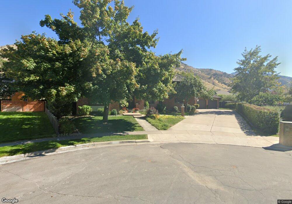
1726 N 1850 E North Logan, UT 84341
Estimated Value: $1,052,000 - $1,157,360
6
Beds
7
Baths
6,918
Sq Ft
$161/Sq Ft
Est. Value
About This Home
This home is located at 1726 N 1850 E, North Logan, UT 84341 and is currently estimated at $1,115,453, approximately $161 per square foot. 1726 N 1850 E is a home located in Cache County with nearby schools including Greenville School, Cedar Ridge School, and North Cache Middle School.
Ownership History
Date
Name
Owned For
Owner Type
Purchase Details
Closed on
Nov 2, 2016
Sold by
Seamons John A and Seamons Kristen A
Bought by
Seamons John A and Seamons Kristen A
Current Estimated Value
Purchase Details
Closed on
May 22, 2015
Sold by
Payne Mary B and Payne Ronald J
Bought by
Seamons John A and Seamons Kristen A
Home Financials for this Owner
Home Financials are based on the most recent Mortgage that was taken out on this home.
Original Mortgage
$360,000
Interest Rate
3.62%
Mortgage Type
New Conventional
Create a Home Valuation Report for This Property
The Home Valuation Report is an in-depth analysis detailing your home's value as well as a comparison with similar homes in the area
Home Values in the Area
Average Home Value in this Area
Purchase History
| Date | Buyer | Sale Price | Title Company |
|---|---|---|---|
| Seamons John A | -- | Pinnacle Title | |
| Seamons John A | -- | Cache Title |
Source: Public Records
Mortgage History
| Date | Status | Borrower | Loan Amount |
|---|---|---|---|
| Previous Owner | Seamons John A | $360,000 |
Source: Public Records
Tax History
| Year | Tax Paid | Tax Assessment Tax Assessment Total Assessment is a certain percentage of the fair market value that is determined by local assessors to be the total taxable value of land and additions on the property. | Land | Improvement |
|---|---|---|---|---|
| 2025 | $4,533 | $634,530 | $0 | $0 |
| 2024 | $4,970 | $647,425 | $0 | $0 |
| 2023 | $5,229 | $637,420 | $0 | $0 |
| 2022 | $5,058 | $589,135 | $0 | $0 |
| 2021 | $4,659 | $841,360 | $75,400 | $765,960 |
| 2020 | $4,215 | $713,700 | $75,400 | $638,300 |
| 2019 | $3,651 | $590,295 | $75,400 | $514,895 |
| 2018 | $3,264 | $511,752 | $75,400 | $436,352 |
| 2017 | $2,999 | $247,500 | $0 | $0 |
| 2016 | $3,046 | $247,500 | $0 | $0 |
| 2015 | $3,225 | $261,140 | $0 | $0 |
| 2014 | $2,243 | $185,955 | $0 | $0 |
| 2013 | -- | $185,955 | $0 | $0 |
Source: Public Records
Map
Nearby Homes
- 1720 N 1850 E
- 1901 Southpointe Ct
- 1949 Deer Crest Cir Unit 49
- 1959 Deer Crest Cir
- 1586 N Sharptail Cir
- 1902 E 1500 N
- 1475 N Aspen Dr Unit 16
- 1810 N 2070 E Unit 10
- 1451 N Aspen Dr
- 1405 N Aspen Dr
- 1440 N 1600 E
- 1450 N 1525 E
- 2025 N 1550 E
- 1535 E 1385 N
- 1782 E 1250 N
- 1454 N 1400 E
- 1336 E Talmage Ln Unit 38
- 1512 E 1260 N
- 1374 N 1250 E Unit 48
- 1354 N 1250 E Unit 46
- 1736 N 1850 E
- 1715 N 1900 E Unit 16
- 1710 N 1900 E Unit 17
- 1725 N 1850 E
- 1746 N 1850 E
- 1735 N 1850 E
- 1868 Northpointe Ct
- 1868 Northpointe Ct Unit 25
- 1878 Northpointe Ct Unit 57
- 1878 Northpointe Ct
- 1858 Northpointe Ct Unit 55
- 1725 N 1900 E Unit 15
- 1725 N 1900 E
- 1888 Northpointe Ct Unit 58
- 1720 N 1900 E Unit 18
- 1745 N 1850 E
- 1756 N 1850 E
- 1898 Northpointe Ct Unit 59
- 1814 E 1730 N
- 1806 E 1730 N
Your Personal Tour Guide
Ask me questions while you tour the home.