1726 Peter Knob Rd Blue Ridge, GA 30513
Estimated Value: $501,000 - $620,000
--
Bed
2
Baths
1,400
Sq Ft
$410/Sq Ft
Est. Value
About This Home
This home is located at 1726 Peter Knob Rd, Blue Ridge, GA 30513 and is currently estimated at $573,873, approximately $409 per square foot. 1726 Peter Knob Rd is a home with nearby schools including Fannin County High School.
Ownership History
Date
Name
Owned For
Owner Type
Purchase Details
Closed on
Oct 3, 2014
Sold by
Sydlosky Deanna
Bought by
Sydlosky Vincent A and Sydlsky Deanna M
Current Estimated Value
Purchase Details
Closed on
May 8, 2006
Sold by
Sydlosky Vincent
Bought by
Sydlosky Deanna
Purchase Details
Closed on
Feb 3, 2005
Sold by
Davis Bobby J
Bought by
Sydlosky Vincent and Sydlosky Deanna
Purchase Details
Closed on
Mar 13, 2003
Sold by
Cox James S
Bought by
Cox James S
Create a Home Valuation Report for This Property
The Home Valuation Report is an in-depth analysis detailing your home's value as well as a comparison with similar homes in the area
Home Values in the Area
Average Home Value in this Area
Purchase History
| Date | Buyer | Sale Price | Title Company |
|---|---|---|---|
| Sydlosky Vincent A | -- | -- | |
| Sydlosky Deanna | -- | -- | |
| Sydlosky Vincent | $190,000 | -- | |
| Cox James S | -- | -- |
Source: Public Records
Tax History Compared to Growth
Tax History
| Year | Tax Paid | Tax Assessment Tax Assessment Total Assessment is a certain percentage of the fair market value that is determined by local assessors to be the total taxable value of land and additions on the property. | Land | Improvement |
|---|---|---|---|---|
| 2024 | $1,823 | $198,913 | $16,320 | $182,593 |
| 2023 | $1,633 | $160,111 | $16,320 | $143,791 |
| 2022 | $1,628 | $159,658 | $14,000 | $145,658 |
| 2021 | $1,091 | $77,842 | $11,920 | $65,922 |
| 2020 | $1,109 | $77,842 | $11,920 | $65,922 |
| 2019 | $1,190 | $81,922 | $16,000 | $65,922 |
| 2018 | $1,262 | $81,922 | $16,000 | $65,922 |
| 2017 | $1,550 | $87,626 | $20,800 | $66,826 |
| 2016 | $1,238 | $72,909 | $9,815 | $63,094 |
| 2015 | $1,370 | $77,218 | $9,815 | $67,402 |
| 2014 | $1,546 | $103,575 | $9,815 | $93,760 |
| 2013 | -- | $78,709 | $9,815 | $68,894 |
Source: Public Records
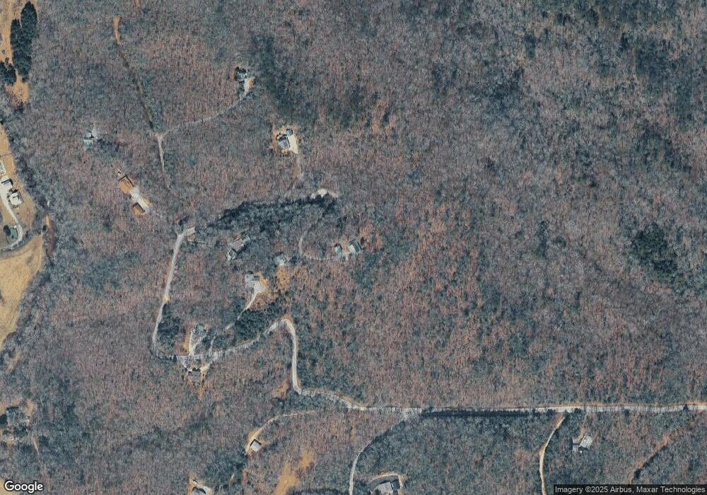
Map
Nearby Homes
- 213 Valley Branch
- 213 Valley Branch Rd
- 0 Hillbilly Holler Unit 7429512
- 0 Hillbilly Holler Unit 10349381
- 0 Hillbilly Unit 7636164
- 306 Native Trail
- 28 Aska Forest Trail
- 156 Peter Knob Rd
- 51+ acre Mountain Cove Way
- 51+ acre Mountain Cove Way Unit 1-8
- 328 Black Ankle Creek Rd
- Lot 21 Mountain Trace
- 3006 Doublehead Gap Rd
- 586 Newport Rd
- 100 Black Oaks Rd
- Lot 20 Black Oaks Rd
- 2263 Dial Rd
- 47 Blue Sky Dr
- LOT 12 Mountain Creek Rd
- 2350 Dial Rd
- 1366 Peter Knob Rd
- 1516 Peter Knob Rd
- 1607 Peter Knob Rd
- 5 Doublehead Gap Rd
- 5 Doublehead Gap Rd
- 5 Doublehead Gap Rd
- 5 Doublehead Gap Rd
- 0 Noontootla Ridge Ct Unit LOT 10 3115154
- 0 Noontootla Ridge Ct Unit 10 8092642
- 10 Noontootla Ridge Ct
- 0 Noontootla Ridge Ct Unit 8884582
- 1380 Peter Knob Rd
- LT 11 Noontootla Ridge Ct
- LT 11 Noontootla Ridge Ct Unit LOT 11
- 1 Hillbilly Holler
- 106 Noontootla Ridge Ct
- 1361 Peter Knob Rd
- 9 Noontootla Ridge Ct
- 11&12 Noontootla Ridge Ct
- LOT10 Noontootla Ridge Ct