1726 Queentown Rd Canton, NC 28716
Estimated Value: $571,000 - $745,000
3
Beds
4
Baths
2,332
Sq Ft
$282/Sq Ft
Est. Value
About This Home
This home is located at 1726 Queentown Rd, Canton, NC 28716 and is currently estimated at $657,547, approximately $281 per square foot. 1726 Queentown Rd is a home located in Haywood County with nearby schools including Meadowbrook Elementary School, Canton Middle, and Pisgah High School.
Ownership History
Date
Name
Owned For
Owner Type
Purchase Details
Closed on
Jan 20, 2009
Sold by
The Bank Of New York Mellon Trust Compan
Bought by
Jordan Lesa M and Jordan Byron E
Current Estimated Value
Purchase Details
Closed on
Oct 2, 2008
Sold by
The Bank Of New York
Bought by
The Bank Of New York Mellon Trust Compan
Purchase Details
Closed on
Jul 7, 2008
Sold by
Sumpter Glenn Roy and Sumpter Shelia R
Bought by
The Bank Of New York
Create a Home Valuation Report for This Property
The Home Valuation Report is an in-depth analysis detailing your home's value as well as a comparison with similar homes in the area
Home Values in the Area
Average Home Value in this Area
Purchase History
| Date | Buyer | Sale Price | Title Company |
|---|---|---|---|
| Jordan Lesa M | $440,000 | None Available | |
| The Bank Of New York Mellon Trust Compan | -- | None Available | |
| The Bank Of New York | $602,558 | None Available |
Source: Public Records
Tax History
| Year | Tax Paid | Tax Assessment Tax Assessment Total Assessment is a certain percentage of the fair market value that is determined by local assessors to be the total taxable value of land and additions on the property. | Land | Improvement |
|---|---|---|---|---|
| 2025 | -- | $530,900 | $64,600 | $466,300 |
| 2024 | $36 | $530,900 | $64,600 | $466,300 |
| 2023 | $3,530 | $530,900 | $64,600 | $466,300 |
| 2022 | $3,451 | $530,900 | $64,600 | $466,300 |
| 2021 | $3,451 | $530,900 | $64,600 | $466,300 |
| 2020 | $2,674 | $375,300 | $43,100 | $332,200 |
| 2019 | $2,679 | $375,300 | $43,100 | $332,200 |
| 2018 | $2,679 | $375,300 | $43,100 | $332,200 |
| 2017 | $2,641 | $375,300 | $0 | $0 |
| 2016 | $2,671 | $391,000 | $0 | $0 |
| 2015 | $2,671 | $391,000 | $0 | $0 |
| 2014 | $2,502 | $391,000 | $0 | $0 |
Source: Public Records
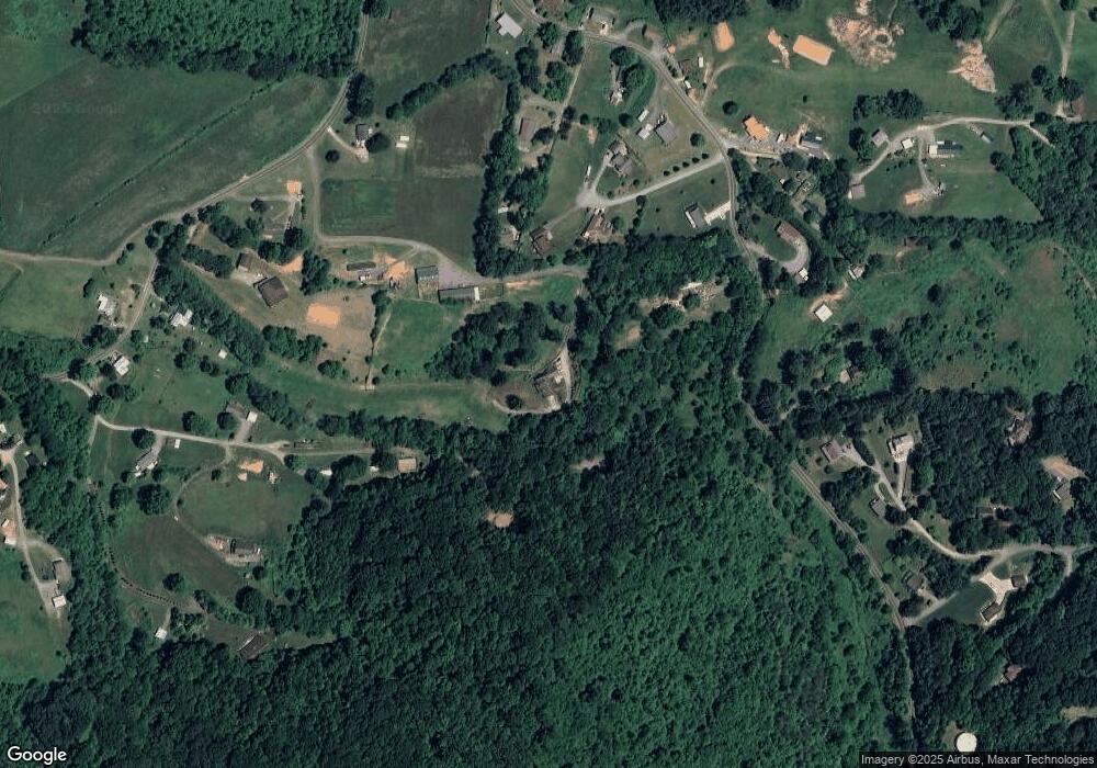
Map
Nearby Homes
- 27 Barkn Cove
- 36 Kimberly Dr
- Lot 2 Kuykendall Ln
- 28 Back Stage Pass
- 106 Pressley Rd
- 600 Scottdale Rd
- 130 Crestview St
- 133 Windy Hill Ln
- 1254 Pisgah Dr
- 4 Mayapple Ln
- 57 Eden Brook Dr
- 57 Bittersweet Trail
- 194 Fox Run Rd
- 355 Johnson Dr
- 107 Axley St
- 382 Holtzclaw St
- 84 Wood Lily Dr
- 163 Pharr St
- 687 Holtzclaw Rd
- 1397 Dutch Cove Rd
- 1214 Kims Cove Rd
- 81 Sterling Dr
- 1830 Queentown Rd
- 1826 Queentown Rd
- 75 Sterling Dr
- 190 Moore Rd
- 1178 Kims Cove Rd
- 78 Sterling Dr
- 1050 Kims Cove Rd
- 134 Moore Rd
- 135 Moore Rd
- 1094 Kims Cove Rd
- Lot #2 Sterling Dr Unit 2
- 00 Sterling Dr
- 1203 Kims Cove Rd
- 5 Sterling Dr Unit 5
- 1762 Queentown Rd
- 95 Slow Ln
- 1315 Kims Cove Rd
- 12 Messer Valley Ln
Your Personal Tour Guide
Ask me questions while you tour the home.