Estimated Value: $444,000 - $508,000
3
Beds
3
Baths
2,767
Sq Ft
$170/Sq Ft
Est. Value
About This Home
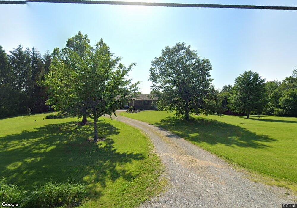
This home is located at 1726 Union Rd, Xenia, OH 45385 and is currently estimated at $471,607, approximately $170 per square foot. 1726 Union Rd is a home located in Greene County with nearby schools including Xenia High School and Legacy Christian Academy.
Ownership History
Date
Name
Owned For
Owner Type
Purchase Details
Closed on
Aug 2, 2021
Sold by
Corrin Donna
Bought by
Corrin Thomas A
Current Estimated Value
Purchase Details
Closed on
Sep 14, 2016
Sold by
Shanks Marlin Lee and Shanks Barbara Jean
Bought by
Corrin Thomas A and Corrin Donna
Home Financials for this Owner
Home Financials are based on the most recent Mortgage that was taken out on this home.
Original Mortgage
$90,000
Outstanding Balance
$71,889
Interest Rate
3.43%
Mortgage Type
New Conventional
Estimated Equity
$399,718
Purchase Details
Closed on
Mar 1, 1987
Bought by
Shanks Marlin Lee and Shanks Shanks
Create a Home Valuation Report for This Property
The Home Valuation Report is an in-depth analysis detailing your home's value as well as a comparison with similar homes in the area
Home Values in the Area
Average Home Value in this Area
Purchase History
| Date | Buyer | Sale Price | Title Company |
|---|---|---|---|
| Corrin Thomas A | -- | None Available | |
| Corrin Thomas A | $242,000 | None Available | |
| Shanks Marlin Lee | $20,000 | -- |
Source: Public Records
Mortgage History
| Date | Status | Borrower | Loan Amount |
|---|---|---|---|
| Open | Corrin Thomas A | $90,000 |
Source: Public Records
Tax History Compared to Growth
Tax History
| Year | Tax Paid | Tax Assessment Tax Assessment Total Assessment is a certain percentage of the fair market value that is determined by local assessors to be the total taxable value of land and additions on the property. | Land | Improvement |
|---|---|---|---|---|
| 2024 | $5,911 | $124,290 | $28,380 | $95,910 |
| 2023 | $5,911 | $124,290 | $28,380 | $95,910 |
| 2022 | $5,202 | $99,200 | $24,680 | $74,520 |
| 2021 | $5,269 | $99,200 | $24,680 | $74,520 |
| 2020 | $5,058 | $99,200 | $24,680 | $74,520 |
| 2019 | $4,828 | $88,900 | $21,810 | $67,090 |
| 2018 | $4,843 | $88,900 | $21,810 | $67,090 |
| 2017 | $4,711 | $88,900 | $21,810 | $67,090 |
| 2016 | $4,089 | $82,480 | $21,290 | $61,190 |
| 2015 | $4,099 | $82,480 | $21,290 | $61,190 |
| 2014 | $3,933 | $82,480 | $21,290 | $61,190 |
Source: Public Records
Map
Nearby Homes
- 1736 Winchester Rd
- 966 U S 68
- 0 U S 68
- 733 State Route 380
- 920 Wright Cycle Blvd
- 926 Wright Cycle Blvd
- 2102 High Wheel Dr
- 104 Ledbetter Rd
- 260 Pocahontas St
- 55 Lake St
- 523 Newport Rd
- 979 Mcdowell St
- 46 Lake St
- 847 S Detroit St
- 633 Xenia Ave
- 1348 Berkshire Dr
- 148 Home Ave
- 2784 Greystoke Dr
- 2821 Raxit Ct
- 0 Berkshire Dr Unit 949217
- 1692 Union Rd
- 1766 Union Rd
- 352 E Krepps Rd
- 1675 Union Rd
- 1792 Union Rd
- 1727 Union Rd
- 1640 Union Rd
- 1628 Union Rd
- 1625 Union Rd
- 1595 Union Rd
- 1594 Union Rd
- 1565 Union Rd
- 1560 Union Rd
- 300 E Krepps Rd
- 1738 Woodside Way
- 1718 Woodside Way
- 1764 Woodside Way
- 1700 Woodside Way
- 1530 Union Rd
- 1682 Woodside Way