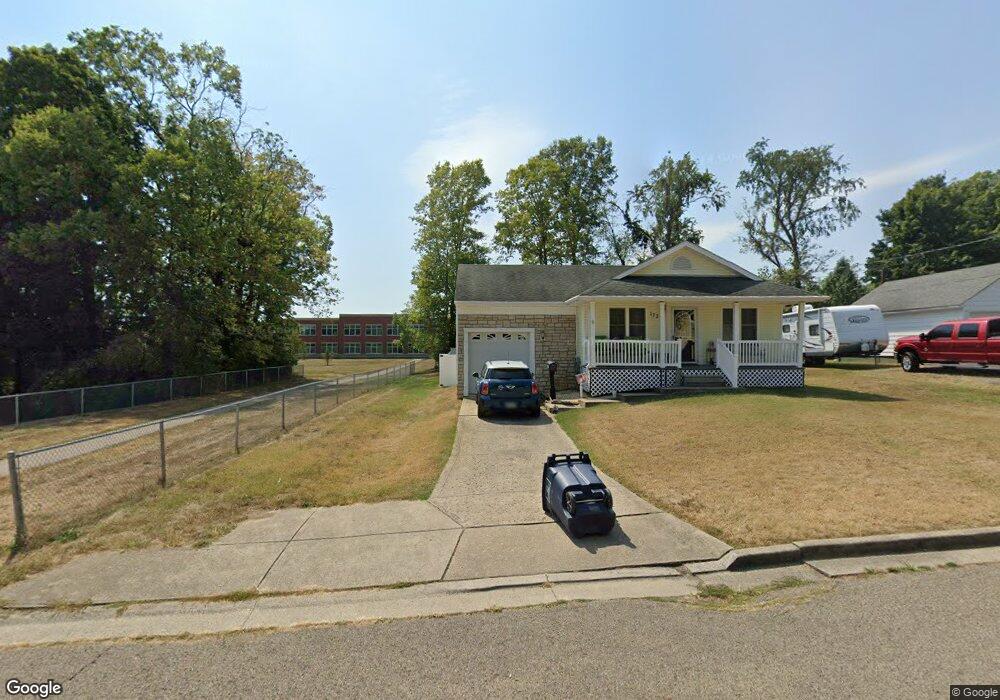
1726 W Walnut St Lancaster, OH 43130
Estimated Value: $261,924
2
Beds
1
Bath
760
Sq Ft
$345/Sq Ft
Est. Value
About This Home
This home is located at 1726 W Walnut St, Lancaster, OH 43130 and is currently estimated at $261,924, approximately $344 per square foot. 1726 W Walnut St is a home located in Fairfield County with nearby schools including General Sherman Junior High School, Lancaster High School, and St Mary Elementary School.
Ownership History
Date
Name
Owned For
Owner Type
Purchase Details
Closed on
Dec 21, 2012
Sold by
Bartram Gerogia A
Bought by
Lancaster City School District Board Of
Current Estimated Value
Purchase Details
Closed on
Jul 12, 2007
Sold by
Malee Properties Ltd
Bought by
Bartram George W and Bartram Georgia A
Purchase Details
Closed on
Dec 26, 2000
Sold by
Waits Robert L
Bought by
Cook Steven D and Cook Carolyn S
Home Financials for this Owner
Home Financials are based on the most recent Mortgage that was taken out on this home.
Original Mortgage
$54,500
Interest Rate
7.83%
Mortgage Type
New Conventional
Create a Home Valuation Report for This Property
The Home Valuation Report is an in-depth analysis detailing your home's value as well as a comparison with similar homes in the area
Home Values in the Area
Average Home Value in this Area
Purchase History
| Date | Buyer | Sale Price | Title Company |
|---|---|---|---|
| Lancaster City School District Board Of | -- | None Available | |
| Bartram George W | $41,100 | None Available | |
| Cook Steven D | $98,000 | -- |
Source: Public Records
Mortgage History
| Date | Status | Borrower | Loan Amount |
|---|---|---|---|
| Previous Owner | Cook Steven D | $54,500 |
Source: Public Records
Tax History
| Year | Tax Paid | Tax Assessment Tax Assessment Total Assessment is a certain percentage of the fair market value that is determined by local assessors to be the total taxable value of land and additions on the property. | Land | Improvement |
|---|---|---|---|---|
| 2025 | $2 | $10,870 | $10,870 | -- |
| 2024 | $2 | $7,680 | $7,680 | -- |
| 2023 | -- | $7,680 | $7,680 | -- |
| 2022 | $0 | $7,680 | $7,680 | $0 |
| 2021 | $0 | $7,680 | $7,680 | $0 |
| 2020 | $0 | $7,680 | $7,680 | $0 |
| 2019 | $536 | $7,680 | $7,680 | $0 |
| 2018 | $0 | $7,490 | $7,490 | $0 |
| 2017 | $0 | $7,490 | $7,490 | $0 |
| 2016 | $0 | $7,490 | $7,490 | $0 |
| 2015 | $536 | $7,490 | $7,490 | $0 |
| 2014 | $536 | $15,790 | $7,490 | $8,300 |
| 2013 | $536 | $15,790 | $7,490 | $8,300 |
Source: Public Records
Map
Nearby Homes
- 114-116 S Cedar Ave
- 1511 Cedar Hill Rd
- 1414 Cedar Hill Rd
- 426 Ridgemere Way
- 453 Bren Dr
- 1829 Shoshone Dr
- 759 Lincoln Ave
- 505 Busby Ave
- 539 N Ohio Ave
- 120 Talmadge Ave
- 157 Cedar Hill Rd
- 302 Washington Ave
- 404 Garfield Ave
- 701 W Wheeling St
- 757 W Mulberry St
- 729 Pennsylvania Ave
- 507 Washington Ave
- 301 Witte St
- 721 Mckinley W
- 621 Washington Ave
- 1730 W Walnut St
- 1736 W Walnut St
- 1718 W Walnut St
- 1756 W Walnut St
- 1731 W Walnut St
- 1735 W Walnut St
- 1721 W Walnut St
- 1710 W Walnut St
- 1717 W Walnut St
- 1750 W Walnut St
- 1745 W Walnut St
- 1709 W Walnut St
- 1706 W Walnut St
- 1753 W Walnut St
- 1726 W Chestnut St
- 1726 W Chestnut St
- 1757 W Walnut St
- 1760 W Walnut St
- 1702 W Walnut St
- 1716 W Chestnut St
Your Personal Tour Guide
Ask me questions while you tour the home.