Estimated Value: $350,000 - $951,000
3
Beds
1
Bath
9,787
Sq Ft
$72/Sq Ft
Est. Value
About This Home
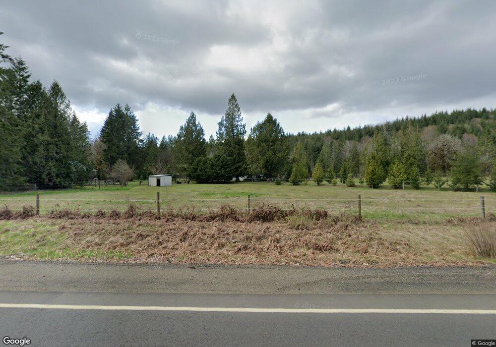
This home is located at 17260 W Cloquallum Rd, Elma, WA 98541 and is currently estimated at $704,103, approximately $71 per square foot. 17260 W Cloquallum Rd is a home located in Mason County with nearby schools including Elma Elementary School, Elma Middle School, and Elma High School.
Ownership History
Date
Name
Owned For
Owner Type
Purchase Details
Closed on
Feb 21, 2006
Sold by
Laurance Donald W and Laurance Connie M
Bought by
Mckenna William B and Mckenna Jennifer L
Current Estimated Value
Home Financials for this Owner
Home Financials are based on the most recent Mortgage that was taken out on this home.
Original Mortgage
$240,000
Outstanding Balance
$133,504
Interest Rate
6%
Mortgage Type
Adjustable Rate Mortgage/ARM
Estimated Equity
$570,599
Purchase Details
Closed on
Aug 10, 2005
Sold by
Laurance Donald W
Bought by
Laurance Donald W and Laurance Connie M
Home Financials for this Owner
Home Financials are based on the most recent Mortgage that was taken out on this home.
Original Mortgage
$144,000
Interest Rate
5.12%
Mortgage Type
Stand Alone Second
Create a Home Valuation Report for This Property
The Home Valuation Report is an in-depth analysis detailing your home's value as well as a comparison with similar homes in the area
Home Values in the Area
Average Home Value in this Area
Purchase History
| Date | Buyer | Sale Price | Title Company |
|---|---|---|---|
| Mckenna William B | $390,000 | Mason County Title Ins Co | |
| Laurance Donald W | -- | Mason County Title Company |
Source: Public Records
Mortgage History
| Date | Status | Borrower | Loan Amount |
|---|---|---|---|
| Open | Mckenna William B | $240,000 | |
| Previous Owner | Laurance Donald W | $144,000 |
Source: Public Records
Tax History Compared to Growth
Tax History
| Year | Tax Paid | Tax Assessment Tax Assessment Total Assessment is a certain percentage of the fair market value that is determined by local assessors to be the total taxable value of land and additions on the property. | Land | Improvement |
|---|---|---|---|---|
| 2025 | $3,448 | $465,660 | $147,095 | $318,565 |
| 2023 | $3,448 | $413,515 | $77,155 | $336,360 |
| 2022 | $3,167 | $334,075 | $59,350 | $274,725 |
| 2021 | $3,105 | $334,075 | $59,350 | $274,725 |
| 2020 | $2,717 | $304,265 | $59,350 | $244,915 |
| 2018 | $3,168 | $255,110 | $95,000 | $160,110 |
| 2017 | $2,904 | $255,110 | $95,000 | $160,110 |
| 2016 | $2,910 | $257,355 | $95,000 | $162,355 |
| 2015 | $3,025 | $255,660 | $99,750 | $155,910 |
| 2014 | -- | $265,600 | $99,750 | $165,850 |
| 2013 | -- | $267,095 | $99,750 | $167,345 |
Source: Public Records
Map
Nearby Homes
- 192 Arrowhead Dr
- 72 Lot Arrowhead Dr
- 131 W Chimacum Dr
- 0 Lot 87 W Star Lake Dr
- 61 Packard Ln
- 21 W Prairie Loop Rd
- 1600 W Star Lake Dr
- 0 Lot 4 W Elk Hill Rd
- 0 Lot 1&2 W Elk Hill Rd
- 55 Church Rd
- 20 W Newberry Ln
- 151 W Buck Prairie Rd
- 372 Stamper Rd
- 627 W Camas Ct
- 1648 N 4th St
- 105 Summit Place Dr
- 0 Cedar Place Unit NWM2430985
- 55 Meadowood Dr
- 0 Lot 1 Div 1 Raven Ln Unit NWM2180152
- 0 Lot 4 Div 1 Raven Ln Unit NWM2180519