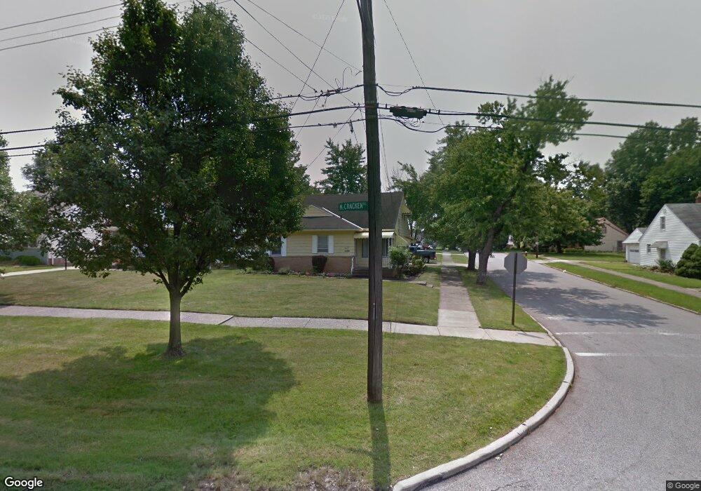
17264 Mccracken Rd Maple Heights, OH 44137
Estimated Value: $112,837 - $146,000
3
Beds
2
Baths
1,152
Sq Ft
$112/Sq Ft
Est. Value
About This Home
This home is located at 17264 Mccracken Rd, Maple Heights, OH 44137 and is currently estimated at $129,459, approximately $112 per square foot. 17264 Mccracken Rd is a home located in Cuyahoga County with nearby schools including Abraham Lincoln Elementary School, Rockside/ J.F. Kennedy School, and Barack Obama School.
Ownership History
Date
Name
Owned For
Owner Type
Purchase Details
Closed on
Jan 19, 1995
Sold by
Est Jerome F Schuplinski
Bought by
Wilder Willie D and Wilder Peggy E
Current Estimated Value
Home Financials for this Owner
Home Financials are based on the most recent Mortgage that was taken out on this home.
Original Mortgage
$73,750
Interest Rate
9.2%
Mortgage Type
FHA
Purchase Details
Closed on
Sep 29, 1992
Sold by
Szczuplinski Genevieve R
Bought by
Schuplinski Jerome F
Purchase Details
Closed on
Jan 1, 1975
Bought by
Szczuplinski Genevieve R
Create a Home Valuation Report for This Property
The Home Valuation Report is an in-depth analysis detailing your home's value as well as a comparison with similar homes in the area
Home Values in the Area
Average Home Value in this Area
Purchase History
| Date | Buyer | Sale Price | Title Company |
|---|---|---|---|
| Wilder Willie D | $74,000 | -- | |
| Schuplinski Jerome F | -- | -- | |
| Szczuplinski Genevieve R | -- | -- |
Source: Public Records
Mortgage History
| Date | Status | Borrower | Loan Amount |
|---|---|---|---|
| Closed | Wilder Willie D | $73,750 |
Source: Public Records
Tax History Compared to Growth
Tax History
| Year | Tax Paid | Tax Assessment Tax Assessment Total Assessment is a certain percentage of the fair market value that is determined by local assessors to be the total taxable value of land and additions on the property. | Land | Improvement |
|---|---|---|---|---|
| 2024 | $2,511 | $37,730 | $7,140 | $30,590 |
| 2023 | $1,460 | $22,300 | $4,340 | $17,960 |
| 2022 | $1,493 | $22,300 | $4,340 | $17,960 |
| 2021 | $1,588 | $22,300 | $4,340 | $17,960 |
| 2020 | $1,141 | $16,910 | $3,290 | $13,620 |
| 2019 | $1,129 | $48,300 | $9,400 | $38,900 |
| 2018 | $1,121 | $16,910 | $3,290 | $13,620 |
| 2017 | $965 | $15,300 | $3,010 | $12,290 |
| 2016 | $928 | $15,300 | $3,010 | $12,290 |
| 2015 | $1,002 | $15,300 | $3,010 | $12,290 |
| 2014 | $1,002 | $16,810 | $3,330 | $13,480 |
Source: Public Records
Map
Nearby Homes
- 5082 Philip Ave
- 5061 Philip Ave
- 5110 Philip Ave
- 16712 Kollin Ave
- 5031 Cato St
- 5185 Clement Ave
- 5208 Clement Ave
- 5231 Philip Ave
- 5210 Theodore St
- 5212 Catherine St
- 16241 Glenburn Ave
- 5257 Philip Ave
- 5199 Arch St
- 5239 Arch St
- 5320 Clement Ave
- 16312 Sunny Glenn Ave
- 4737 E 174th St
- 16216 Sunny Glenn Ave
- 5234 Erwin St
- 5247 Henry St
- 17268 Mccracken Rd
- 17270 Mccracken Rd
- 5049 Clement Ave
- 17250 Mccracken Rd
- 17274 Mccracken Rd
- 17240 Mccracken Rd
- 5053 Clement Ave
- 17278 Mccracken Rd
- 5044 Catherine St
- 17220 Mccracken Rd
- 5057 Clement Ave
- 17261 Mccracken Rd
- 5052 Clement Ave
- 17257 Mccracken Rd
- 5048 Catherine St
- 17282 Mccracken Rd
- 17273 Mccracken Rd
- 17253 Mccracken Rd
- 17200 Mccracken Rd
- 5052 Catherine St