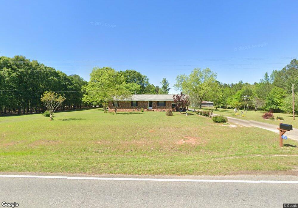
1727 Delray Rd Thomaston, GA 30286
Estimated Value: $192,000 - $334,000
3
Beds
1
Bath
1,352
Sq Ft
$194/Sq Ft
Est. Value
About This Home
This home is located at 1727 Delray Rd, Thomaston, GA 30286 and is currently estimated at $262,002, approximately $193 per square foot. 1727 Delray Rd is a home located in Upson County with nearby schools including Upson-Lee South Elementary School, Upson-Lee North Elementary School, and Upson-Lee Middle School.
Ownership History
Date
Name
Owned For
Owner Type
Purchase Details
Closed on
Jan 26, 2021
Sold by
Collins Olif W
Bought by
Douglas Steve R and Douglas Cynthia N
Current Estimated Value
Home Financials for this Owner
Home Financials are based on the most recent Mortgage that was taken out on this home.
Original Mortgage
$140,000
Outstanding Balance
$12,374
Interest Rate
2.6%
Mortgage Type
New Conventional
Estimated Equity
$249,629
Purchase Details
Closed on
Dec 8, 2010
Sold by
Collins Olif W
Bought by
Puckett Theresa Taunton
Create a Home Valuation Report for This Property
The Home Valuation Report is an in-depth analysis detailing your home's value as well as a comparison with similar homes in the area
Home Values in the Area
Average Home Value in this Area
Purchase History
| Date | Buyer | Sale Price | Title Company |
|---|---|---|---|
| Douglas Steve R | $166,000 | -- | |
| Puckett Theresa Taunton | -- | -- |
Source: Public Records
Mortgage History
| Date | Status | Borrower | Loan Amount |
|---|---|---|---|
| Open | Douglas Steve R | $140,000 |
Source: Public Records
Tax History Compared to Growth
Tax History
| Year | Tax Paid | Tax Assessment Tax Assessment Total Assessment is a certain percentage of the fair market value that is determined by local assessors to be the total taxable value of land and additions on the property. | Land | Improvement |
|---|---|---|---|---|
| 2024 | $1,979 | $77,143 | $26,894 | $50,249 |
| 2023 | $1,822 | $74,621 | $26,894 | $47,727 |
| 2022 | $1,408 | $50,773 | $14,079 | $36,694 |
| 2021 | $938 | $44,122 | $17,914 | $26,208 |
| 2020 | $857 | $38,714 | $16,536 | $22,178 |
| 2019 | $887 | $37,027 | $16,536 | $20,491 |
| 2018 | $888 | $40,970 | $16,536 | $24,434 |
| 2017 | $587 | $38,306 | $16,536 | $21,770 |
| 2016 | $541 | $33,719 | $13,780 | $19,939 |
| 2015 | $538 | $34,534 | $14,594 | $19,939 |
| 2014 | $535 | $35,865 | $15,926 | $19,939 |
Source: Public Records
Map
Nearby Homes
- 0 Tyler Ln
- 307 Pardue Dr
- 206 Shannon Ct
- 508 Heath Dr
- 0 Technology Pkwy Unit 30119
- 0 Technology Pkwy Unit 21917
- 0 Technology Pkwy Unit 30117
- 781 N Delray Rd
- 3006 Barnesville Hwy
- 3682 Barnesville Hwy
- 2724 Barnesville St
- 2615 Barnesville Hwy
- 1907 Rocky Bottom Rd
- Race Track Rd
- 216 E Moores Crossing Rd
- 0 Daniel Rd Unit 10644862
- 524 Sunnyland Dr
- 556 Sunnyland Dr
- 98 Mud Bridge Rd
- 28 Mud Bridge Rd
- 1732 Delray Rd
- 1791 Delray Rd
- 1689 Delray Rd
- 675 Rocky Bottom Rd
- 809 Rocky Bottom Rd
- 629 Rocky Bottom Rd
- 1810 Delray Rd Unit Lot 1
- 804 Rocky Bottom Rd
- 1816 Delray Rd Unit Lot 2
- 1822 Delray Rd Unit Lot 3
- 1577 Delray Rd
- 1828 Delray Rd Unit Lot 4
- 569 Rocky Bottom Rd
- 1834 Delray Rd Unit Lot 5
- 1550 Delray Rd
- 1545 Delray Rd
- 570 Rocky Bottom Rd
- 930 Rocky Bottom Rd
- 524 Rocky Bottom Rd
- 1174 E Moores Crossing Rd