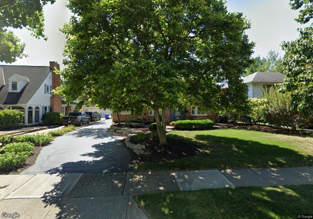
1727 Doone Rd Columbus, OH 43221
Estimated Value: $827,000 - $880,000
4
Beds
3
Baths
2,442
Sq Ft
$348/Sq Ft
Est. Value
About This Home
This home is located at 1727 Doone Rd, Columbus, OH 43221 and is currently estimated at $849,576, approximately $347 per square foot. 1727 Doone Rd is a home located in Franklin County with nearby schools including Barrington Road Elementary School, Jones Middle School, and Upper Arlington High School.
Ownership History
Date
Name
Owned For
Owner Type
Purchase Details
Closed on
Jun 6, 2024
Sold by
Webb Paul E and Webb Robin Slager
Bought by
Paul And Robin Webb Family Trust and Webb
Current Estimated Value
Purchase Details
Closed on
May 22, 2024
Sold by
Webb Paul E and Slager Robin
Bought by
Paul And Robin Webb Family Trust and Webb
Purchase Details
Closed on
Dec 17, 1993
Bought by
Webb Paul E and Webb Robin S
Purchase Details
Closed on
May 1, 1987
Purchase Details
Closed on
Jul 1, 1983
Create a Home Valuation Report for This Property
The Home Valuation Report is an in-depth analysis detailing your home's value as well as a comparison with similar homes in the area
Home Values in the Area
Average Home Value in this Area
Purchase History
| Date | Buyer | Sale Price | Title Company |
|---|---|---|---|
| Paul And Robin Webb Family Trust | -- | None Listed On Document | |
| Paul And Robin Webb Family Trust | -- | None Listed On Document | |
| Webb Paul E | -- | -- | |
| -- | $160,500 | -- | |
| -- | $133,900 | -- |
Source: Public Records
Tax History
| Year | Tax Paid | Tax Assessment Tax Assessment Total Assessment is a certain percentage of the fair market value that is determined by local assessors to be the total taxable value of land and additions on the property. | Land | Improvement |
|---|---|---|---|---|
| 2025 | $14,064 | $242,940 | $70,560 | $172,380 |
| 2024 | $14,064 | $242,940 | $70,560 | $172,380 |
| 2023 | $12,433 | $217,460 | $70,560 | $146,900 |
| 2022 | $12,129 | $173,570 | $44,940 | $128,630 |
| 2021 | $10,737 | $173,570 | $44,940 | $128,630 |
| 2020 | $10,641 | $173,570 | $44,940 | $128,630 |
| 2019 | $9,878 | $142,450 | $44,940 | $97,510 |
| 2018 | $9,436 | $142,450 | $44,940 | $97,510 |
| 2017 | $9,901 | $142,450 | $44,940 | $97,510 |
| 2016 | $9,058 | $135,490 | $36,090 | $99,400 |
| 2015 | $9,050 | $135,490 | $36,090 | $99,400 |
| 2014 | $8,961 | $135,490 | $36,090 | $99,400 |
| 2013 | $4,328 | $123,165 | $32,795 | $90,370 |
Source: Public Records
Map
Nearby Homes
- 1869 Tewksbury Rd
- 1565 Berkshire Rd
- 2585 Westmont Blvd
- 1489 Westminster Dr
- 2583 Wexford Rd
- 1810 Ashland Ave
- 1395 Upper Green Cir Unit 1395
- 1785 Northwest Ct Unit D
- 1799 Kings Ct Unit B
- 1960 Hillside Dr
- 1631 King Ave
- 1507 Chesapeake Ave
- 1493 Chesapeake Ave
- 1461-1467 Chesapeake Ave
- 2803 N Star Rd
- 1624 Ashland Ave
- 2031 Concord Rd
- 1606 Elmwood Ave
- 1561 Glenn Ave
- 2015 W 5th Ave Unit 211
Your Personal Tour Guide
Ask me questions while you tour the home.