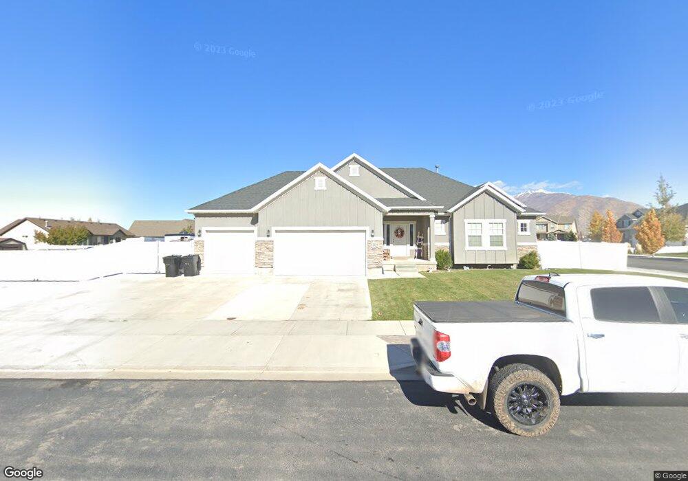
1727 E 320 N Unit CAPRIC Spanish Fork, UT 84660
Estimated Value: $626,000 - $723,000
3
Beds
2
Baths
3,616
Sq Ft
$189/Sq Ft
Est. Value
About This Home
This home is located at 1727 E 320 N Unit CAPRIC, Spanish Fork, UT 84660 and is currently estimated at $683,773, approximately $189 per square foot. 1727 E 320 N Unit CAPRIC is a home located in Utah County with nearby schools including Sierra Bonita Elementary School, Diamond Fork Junior High School, and Mapleton Junior High School.
Ownership History
Date
Name
Owned For
Owner Type
Purchase Details
Closed on
May 13, 2020
Sold by
Roberts Glen L and Roberts Amanda S
Bought by
Roberts Glen Lamar and Roberts Amanda Sue
Current Estimated Value
Home Financials for this Owner
Home Financials are based on the most recent Mortgage that was taken out on this home.
Original Mortgage
$318,500
Outstanding Balance
$282,235
Interest Rate
3.3%
Mortgage Type
New Conventional
Estimated Equity
$401,538
Purchase Details
Closed on
Jan 28, 2016
Sold by
Salisbury Developers Inc
Bought by
Roberts Glen L and Roberts Amanda S
Home Financials for this Owner
Home Financials are based on the most recent Mortgage that was taken out on this home.
Original Mortgage
$334,770
Interest Rate
3.94%
Mortgage Type
New Conventional
Create a Home Valuation Report for This Property
The Home Valuation Report is an in-depth analysis detailing your home's value as well as a comparison with similar homes in the area
Home Values in the Area
Average Home Value in this Area
Purchase History
| Date | Buyer | Sale Price | Title Company |
|---|---|---|---|
| Roberts Glen Lamar | -- | Trident Title Ins Agcy Llc | |
| Roberts Glen L | -- | Gt Title |
Source: Public Records
Mortgage History
| Date | Status | Borrower | Loan Amount |
|---|---|---|---|
| Open | Roberts Glen Lamar | $318,500 | |
| Closed | Roberts Glen L | $334,770 |
Source: Public Records
Tax History Compared to Growth
Tax History
| Year | Tax Paid | Tax Assessment Tax Assessment Total Assessment is a certain percentage of the fair market value that is determined by local assessors to be the total taxable value of land and additions on the property. | Land | Improvement |
|---|---|---|---|---|
| 2025 | $3,122 | $350,845 | $259,000 | $378,900 |
| 2024 | $3,122 | $321,750 | $0 | $0 |
| 2023 | $3,184 | $328,570 | $0 | $0 |
| 2022 | $3,252 | $329,120 | $0 | $0 |
| 2021 | $2,758 | $446,600 | $154,700 | $291,900 |
| 2020 | $2,564 | $403,600 | $140,600 | $263,000 |
| 2019 | $2,264 | $375,000 | $131,700 | $243,300 |
| 2018 | $2,131 | $341,100 | $120,500 | $220,600 |
| 2017 | $1,971 | $169,565 | $0 | $0 |
| 2016 | $1,307 | $110,935 | $0 | $0 |
| 2015 | $1,197 | $100,400 | $0 | $0 |
Source: Public Records
Map
Nearby Homes
- 1495 E 400 N
- 1005 E 260 N Unit 20
- 882 N 1650 E Unit 265
- 858 N 1650 E Unit 266
- 857 N 1650 E Unit 267
- 593 N 2040 E
- 2597 E 360 N Unit 16
- 125 N 1430 E
- 663 N 2040 E
- 1455 E 100 S
- 1025 E 360 N Unit 5
- 1001 E 360 N Unit 7
- 1022 E 360 N Unit 27
- 991 E 360 N Unit 8
- 2264 E 320 N Unit 43
- 2232 E 320 N Unit 45
- 2318 E 320 N Unit 1
- 2302 E 320 N Unit 41
- 2248 E 320 N Unit 44
- 2282 E 320 N Unit 42
- 375 N 1750 E Unit BALLAR
- 332 N 1690 E Unit 4
- 332 N 1690 E
- 348 N 1690 E
- 1726 E 320 N Unit CAPRIC
- 342 N 1750 E Unit 308G
- 1694 E 320 N
- 294 N 1690 E
- 1756 E 320 N Unit MORRIS
- 382 N 1690 E Unit 81
- 382 N 1690 E Unit 1
- 388 N 1690 E
- 374 N 1750 E Unit 307
- 387 N 1750 E Unit WORTHI
- 1683 E 320 N
- 282 N 1690 E
- 391 N 1750 E
- 388 N 1750 E
- 1686 E 390 N
- 1753 E 260 N Unit 319F