1727 Fort Panic Rd Copperas Cove, TX 76522
Estimated Value: $278,355 - $297,000
--
Bed
--
Bath
1,648
Sq Ft
$175/Sq Ft
Est. Value
About This Home
This home is located at 1727 Fort Panic Rd, Copperas Cove, TX 76522 and is currently estimated at $287,678, approximately $174 per square foot. 1727 Fort Panic Rd is a home with nearby schools including House Creek Elementary School, S.C. Lee Junior High School, and Copperas Cove High School.
Ownership History
Date
Name
Owned For
Owner Type
Purchase Details
Closed on
Oct 1, 2025
Sold by
Touchet Thomas Lee
Bought by
Edwards Amanda Bernadette
Current Estimated Value
Home Financials for this Owner
Home Financials are based on the most recent Mortgage that was taken out on this home.
Original Mortgage
$96,834
Outstanding Balance
$96,746
Interest Rate
6.5%
Mortgage Type
New Conventional
Estimated Equity
$190,932
Purchase Details
Closed on
May 26, 2006
Sold by
Edwards Jeremiah D and Edwards Amanda B
Bought by
Touchet Thomas L and Touchet Nancy B
Create a Home Valuation Report for This Property
The Home Valuation Report is an in-depth analysis detailing your home's value as well as a comparison with similar homes in the area
Home Values in the Area
Average Home Value in this Area
Purchase History
| Date | Buyer | Sale Price | Title Company |
|---|---|---|---|
| Edwards Amanda Bernadette | -- | None Listed On Document | |
| Touchet Thomas L | -- | -- |
Source: Public Records
Mortgage History
| Date | Status | Borrower | Loan Amount |
|---|---|---|---|
| Open | Edwards Amanda Bernadette | $96,834 |
Source: Public Records
Tax History Compared to Growth
Tax History
| Year | Tax Paid | Tax Assessment Tax Assessment Total Assessment is a certain percentage of the fair market value that is determined by local assessors to be the total taxable value of land and additions on the property. | Land | Improvement |
|---|---|---|---|---|
| 2025 | $806 | $238,682 | -- | -- |
| 2023 | $806 | $197,258 | $0 | $0 |
| 2022 | $2,730 | $236,210 | $45,080 | $191,130 |
| 2021 | $2,855 | $159,450 | $12,980 | $146,470 |
| 2020 | $2,678 | $146,174 | $11,800 | $134,374 |
| 2019 | $2,598 | $140,450 | $10,620 | $129,830 |
| 2018 | $2,364 | $123,430 | $10,620 | $112,810 |
| 2017 | $2,321 | $124,710 | $10,620 | $114,090 |
| 2016 | $2,345 | $125,960 | $10,620 | $115,340 |
| 2015 | $2,138 | $123,020 | $5,900 | $117,120 |
| 2014 | $2,138 | $127,160 | $5,900 | $121,260 |
Source: Public Records
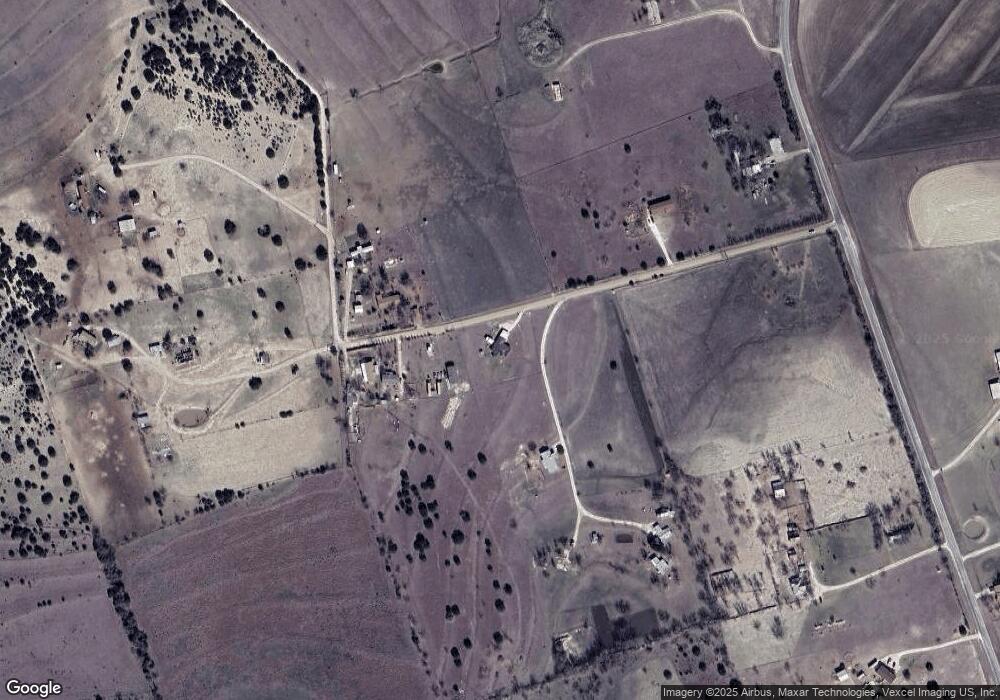
Map
Nearby Homes
- 3016 County Road 3270
- 4060 County Road 3270
- 3103 Cr 3270
- 1524 Cottonwood Mesa Dr
- Unassigned County Road 3270
- 3013 Cottonwood Mesa Dr
- 1581 Cottonwood Mesa Dr
- TBD King Ranch Trail
- 1266 Marissa Dr
- 1725 Cottonwood Mesa Dr
- 812 County Road 3295
- 2204 Fm 580
- 1612 Cottonwood Mesa Dr
- 1138 Holden Loop
- 1204 Holden Loop
- 1132 Holden Loop
- 1109 Holden Loop
- 1149 Holden Loop
- 1229 Holden Loop
- 1120 Holden Loop
- 1733 Fort Panic Rd
- 1733 B C Fort Panic Rd
- 1723 Fort Panic Rd
- 4081 Fm 1113
- 4011 Fm 1113
- 4005 Fm 1113
- 0 20 Acres Unit 8189180
- 4014 Fm 1113
- 1744 Fort Panic Rd
- 4000 Fm 1113
- 4127 Fm 1113
- 4151 Fm 1113
- 4153 Fm 1113
- 4157 Fm 1113
- 000000 Duncan
- 3934 Fm 1113
- Tract A Duncan Rd
- Tract B Duncan Rd
- Tract D Duncan Rd
- Lot 7 Duncan