1727 N Johnson Rd Trufant, MI 49347
Estimated Value: $335,000 - $387,602
3
Beds
2
Baths
1,372
Sq Ft
$269/Sq Ft
Est. Value
About This Home
This home is located at 1727 N Johnson Rd, Trufant, MI 49347 and is currently estimated at $369,651, approximately $269 per square foot. 1727 N Johnson Rd is a home located in Montcalm County with nearby schools including Lakeview Elementary School, Lakeview Middle School, and Lakeview High School.
Ownership History
Date
Name
Owned For
Owner Type
Purchase Details
Closed on
Mar 2, 2009
Sold by
Federal National Mortgage Assoc
Bought by
White Lyle M and White Krista R
Current Estimated Value
Purchase Details
Closed on
Sep 6, 2007
Sold by
Smith Daniel Peter
Bought by
Huntington National Bank
Purchase Details
Closed on
Oct 24, 2003
Sold by
Shaw Eric R and Shaw Denise
Bought by
Smith Daniel P
Home Financials for this Owner
Home Financials are based on the most recent Mortgage that was taken out on this home.
Original Mortgage
$17,000
Interest Rate
6.02%
Mortgage Type
Purchase Money Mortgage
Purchase Details
Closed on
Mar 1, 1994
Create a Home Valuation Report for This Property
The Home Valuation Report is an in-depth analysis detailing your home's value as well as a comparison with similar homes in the area
Home Values in the Area
Average Home Value in this Area
Purchase History
| Date | Buyer | Sale Price | Title Company |
|---|---|---|---|
| White Lyle M | $132,000 | -- | |
| Huntington National Bank | $137,138 | None Available | |
| Huntington National Bank | $137,100 | -- | |
| Smith Daniel P | $170,000 | -- | |
| -- | $7,000 | -- |
Source: Public Records
Mortgage History
| Date | Status | Borrower | Loan Amount |
|---|---|---|---|
| Previous Owner | Smith Daniel P | $17,000 |
Source: Public Records
Tax History Compared to Growth
Tax History
| Year | Tax Paid | Tax Assessment Tax Assessment Total Assessment is a certain percentage of the fair market value that is determined by local assessors to be the total taxable value of land and additions on the property. | Land | Improvement |
|---|---|---|---|---|
| 2025 | $2,622 | $159,300 | $0 | $0 |
| 2024 | $2,526 | $142,900 | $0 | $0 |
| 2023 | -- | $128,000 | $0 | $0 |
| 2022 | -- | $108,900 | $0 | $0 |
| 2021 | -- | $95,600 | $0 | $0 |
| 2020 | -- | -- | $0 | $0 |
| 2019 | -- | -- | $0 | $0 |
| 2018 | -- | -- | $0 | $0 |
| 2017 | -- | -- | $0 | $0 |
| 2016 | -- | -- | $0 | $0 |
| 2015 | -- | -- | $0 | $0 |
| 2014 | -- | -- | $0 | $0 |
Source: Public Records
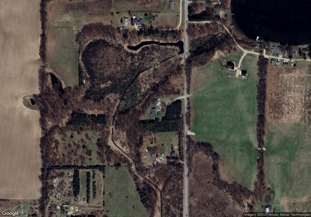
Map
Nearby Homes
- 11170 W Briggs Rd
- 2380 W Shore Dr
- 2512 Rainbow Lake Dr
- 0 Gravel Ridge Rd
- 2761 N Johnson Rd
- 2187 Shawnee Trail NW
- 8565 W Cannonsville Rd
- 0 Rd
- 12468 22 Mile Rd NE
- 13020 Spruceridge Rd
- 0 Stakes Rd
- 13142 Spruce Ridge Dr NE
- 17149 Spruce Cove Trail
- 17157 Spruce Cove Trail
- 17163 Spruce Cove Trail
- 4142 Fogeson Dr
- 16375 Bass Lake Ave NE
- 12651 Maston Lake Dr
- 10037 W Colby Rd
- 271 Pine Dr
- 1645 N Johnson Rd
- 1825 N Johnson Rd
- 1907 N Johnson Rd
- 1919 N Johnson Rd
- 10860 Sorensen Dr
- 10860 Sorensen Dr Unit Drive
- 1900 N Johnson Rd
- 10850 Sorensen Dr
- 10850 Sorensen Dr
- 11172 W Willard Rd
- 11172 W Willard Rd
- 1910 N Johnson Rd
- 10846 Sorensen Dr
- 10846 Sorensen Dr
- 11042 N Johnson Rd
- 1945 N Johnson Rd
- 10840 Sorensen Dr
- 10840 Sorensen Dr
- 11184 W Willard Rd
- 10820 Sorensen Dr