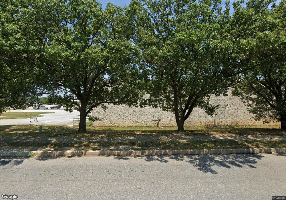
1727 N Rolling Rd Baltimore, MD 21244
Estimated Value: $4,420,018
--
Bed
--
Bath
18,140
Sq Ft
$244/Sq Ft
Est. Value
About This Home
This home is located at 1727 N Rolling Rd, Baltimore, MD 21244 and is currently estimated at $4,420,018, approximately $243 per square foot. 1727 N Rolling Rd is a home located in Baltimore County with nearby schools including Chadwick Elementary School, Southwest Academy, and Woodlawn High School.
Ownership History
Date
Name
Owned For
Owner Type
Purchase Details
Closed on
Aug 25, 2008
Sold by
Parliament Properties Inc
Bought by
J & G Stone Llc
Current Estimated Value
Home Financials for this Owner
Home Financials are based on the most recent Mortgage that was taken out on this home.
Original Mortgage
$2,400,000
Outstanding Balance
$1,609,262
Interest Rate
6.69%
Mortgage Type
Purchase Money Mortgage
Estimated Equity
$2,810,756
Purchase Details
Closed on
Feb 2, 2000
Sold by
Toys R Us Inc
Bought by
Parliament Properties Inc
Purchase Details
Closed on
Dec 31, 1992
Sold by
Security Square Associates
Bought by
Toys R Us Inc
Create a Home Valuation Report for This Property
The Home Valuation Report is an in-depth analysis detailing your home's value as well as a comparison with similar homes in the area
Home Values in the Area
Average Home Value in this Area
Purchase History
| Date | Buyer | Sale Price | Title Company |
|---|---|---|---|
| J & G Stone Llc | $2,950,000 | -- | |
| Parliament Properties Inc | $2,480,220 | -- | |
| Toys R Us Inc | $896,000 | -- |
Source: Public Records
Mortgage History
| Date | Status | Borrower | Loan Amount |
|---|---|---|---|
| Open | J & G Stone Llc | $2,400,000 |
Source: Public Records
Tax History Compared to Growth
Tax History
| Year | Tax Paid | Tax Assessment Tax Assessment Total Assessment is a certain percentage of the fair market value that is determined by local assessors to be the total taxable value of land and additions on the property. | Land | Improvement |
|---|---|---|---|---|
| 2025 | $33,800 | $2,751,933 | -- | -- |
| 2024 | $33,800 | $2,702,767 | $0 | $0 |
| 2023 | $16,911 | $2,653,600 | $822,700 | $1,830,900 |
| 2022 | $36,012 | $2,653,600 | $822,700 | $1,830,900 |
| 2021 | $63,255 | $2,653,600 | $822,700 | $1,830,900 |
| 2020 | $63,255 | $2,658,300 | $822,700 | $1,835,600 |
| 2019 | $32,211 | $2,657,667 | $0 | $0 |
| 2018 | $33,085 | $2,657,033 | $0 | $0 |
| 2017 | $6,007 | $2,656,400 | $0 | $0 |
| 2016 | $30,866 | $2,640,467 | $0 | $0 |
| 2015 | $30,866 | $2,624,533 | $0 | $0 |
| 2014 | $30,866 | $2,608,600 | $0 | $0 |
Source: Public Records
Map
Nearby Homes
- 7104 Iverson Ct
- 6 New Kent Ct
- 22 Kettle Ct
- 1905 Calais Ct
- 2025 Greengage Rd
- 6922 Pinecrest Rd
- 2106 N Rolling Rd
- 1503 Woodcliff Ave
- 2004 Wildlife Dr
- 23 Rocky Brook Ct
- 1407 Adamsview Rd
- 6906 Upper Mills Cir
- 7311 Cantwell Rd
- 1636 Winding Brook Way
- 7527 Maury Rd
- 1735 Winding Brook Way
- 11 Gemstone Ct
- 6953 Rockfield Rd
- 2 Gemstone Ct
- 7711 Cornerstone Way
- 1803 N Rolling Rd
- 1700 N Rolling Rd
- 7106 Rolling Bend Rd
- 7106 Rolling Bend Rd
- 1809 N Rolling Rd
- 1618 N Rolling Rd
- 1811 N Rolling Rd
- 7123 Fairbrook Rd
- 1800 N Rolling Rd
- 6965 Security Blvd
- 7129 Fairbrook Rd
- 6901 Security Blvd Unit 3042
- 6901 Security Blvd
- 7131 Fairbrook Rd
- 7133 Fairbrook Rd
- 7126 Fairbrook Rd
- 7135 Fairbrook Rd
- 7091 Security Blvd
- 7128 Fairbrook Rd
- 7137 Fairbrook Rd
