Estimated Value: $735,000
4
Beds
1
Bath
2,304
Sq Ft
$319/Sq Ft
Est. Value
About This Home
This home is located at 1727 Richland Rd, Xenia, OH 45385 and is currently estimated at $735,000, approximately $319 per square foot. 1727 Richland Rd is a home located in Greene County with nearby schools including Xenia High School.
Ownership History
Date
Name
Owned For
Owner Type
Purchase Details
Closed on
May 6, 2021
Sold by
Sheets Howard D and Sheets Rhonda S
Bought by
Sheets Howard D and Sheets Rhonda S
Current Estimated Value
Purchase Details
Closed on
Nov 11, 2010
Sold by
Sheets Howard D and Sheets Rhonda S
Bought by
Sheets Howard D and Sheets Rhonda S
Purchase Details
Closed on
Jan 30, 2010
Sold by
Walton Dennis K and Walton Beverly J
Bought by
Sheets Howard D and Sheets Rhonda S
Purchase Details
Closed on
Nov 24, 1998
Sold by
Walton Phyllis Louise
Bought by
Walton Dennis K
Home Financials for this Owner
Home Financials are based on the most recent Mortgage that was taken out on this home.
Original Mortgage
$71,319
Outstanding Balance
$16,536
Interest Rate
7.02%
Estimated Equity
$718,464
Create a Home Valuation Report for This Property
The Home Valuation Report is an in-depth analysis detailing your home's value as well as a comparison with similar homes in the area
Home Values in the Area
Average Home Value in this Area
Purchase History
| Date | Buyer | Sale Price | Title Company |
|---|---|---|---|
| Sheets Howard D | -- | None Available | |
| Sheets Howard D | -- | Attorney | |
| Sheets Howard D | $205,000 | Attorney | |
| Walton Dennis K | $72,000 | -- |
Source: Public Records
Mortgage History
| Date | Status | Borrower | Loan Amount |
|---|---|---|---|
| Open | Walton Dennis K | $71,319 |
Source: Public Records
Tax History Compared to Growth
Tax History
| Year | Tax Paid | Tax Assessment Tax Assessment Total Assessment is a certain percentage of the fair market value that is determined by local assessors to be the total taxable value of land and additions on the property. | Land | Improvement |
|---|---|---|---|---|
| 2024 | $6,830 | $140,160 | $23,190 | $116,970 |
| 2023 | $6,830 | $140,160 | $23,190 | $116,970 |
| 2022 | $3,473 | $64,660 | $21,750 | $42,910 |
| 2021 | $2,291 | $44,160 | $21,750 | $22,410 |
| 2020 | $2,103 | $44,160 | $21,750 | $22,410 |
| 2019 | $1,904 | $37,200 | $18,580 | $18,620 |
| 2018 | $1,878 | $37,200 | $18,580 | $18,620 |
| 2017 | $1,754 | $37,200 | $18,580 | $18,620 |
| 2016 | $1,754 | $35,580 | $17,880 | $17,700 |
| 2015 | $1,759 | $35,580 | $17,880 | $17,700 |
| 2014 | $1,689 | $35,580 | $17,880 | $17,700 |
Source: Public Records
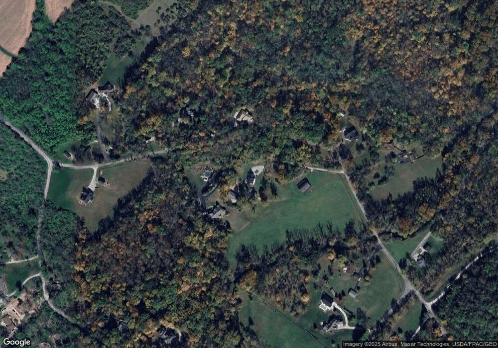
Map
Nearby Homes
- 1839 Simison Rd
- 1681 Valley Heights Rd
- 196 Mound St
- 2336 Washington Mill Rd
- Chatham Plan at Edenbridge
- Bellamy Plan at Edenbridge
- Holcombe Plan at Edenbridge
- Henley Plan at Edenbridge
- Newcastle Plan at Edenbridge
- 1474 Hawkshead St
- 1753 Cedar Ridge Dr
- 1711 Mcclellan Rd
- 1292 Baybury Ave
- 1272 Baybury Ave
- 1293 Baybury Ave
- 1256 Baybury Ave
- 1282 Baybury Ave
- 1298 Baybury Ave
- 1304 Baybury Ave
- 1358 Shannon Ln
- 1710 Richland Rd
- 1675 Richland Rd
- 1786 Richland Rd
- 2060 Schnebly Rd
- 2129 Schnebly Rd
- 1820 Simison Rd
- 2157 Schnebly Rd
- 2181 Schnebly Rd
- 1671 Richland Rd
- 1922 Richland Rd
- 2198 Simison Rd
- 1919 Schnebly Rd
- 2172 Simison Rd
- 0 Schnebly Rd Unit 623958
- 1532 Richland Rd
- 1546 Richland Rd
- 1538 Richland Rd
- 1520 Richland Rd
- 1500 Richland Rd
- 1480 Richland Rd