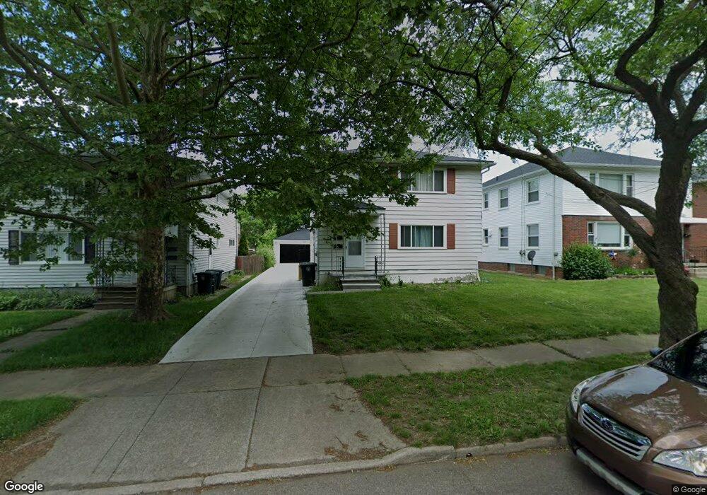
1727 Shatto Ave Unit 1729 Akron, OH 44313
Northwest Akron NeighborhoodEstimated Value: $172,000 - $194,000
4
Beds
2
Baths
2,184
Sq Ft
$85/Sq Ft
Est. Value
About This Home
This home is located at 1727 Shatto Ave Unit 1729, Akron, OH 44313 and is currently estimated at $184,874, approximately $84 per square foot. 1727 Shatto Ave Unit 1729 is a home located in Summit County with nearby schools including Summit Academy School, Our Lady Of The Elms Elementary School, and St. Sebastian Parish School.
Ownership History
Date
Name
Owned For
Owner Type
Purchase Details
Closed on
Sep 24, 2021
Sold by
Meech Troy R and Meech Tracy A
Bought by
Meech John R and Meech Sandra F
Current Estimated Value
Purchase Details
Closed on
Aug 31, 2005
Sold by
Gaj Lawrence E and Stepro Theresa
Bought by
Meech Troy R and Meech Tracy A
Home Financials for this Owner
Home Financials are based on the most recent Mortgage that was taken out on this home.
Original Mortgage
$106,020
Interest Rate
5.82%
Mortgage Type
Fannie Mae Freddie Mac
Create a Home Valuation Report for This Property
The Home Valuation Report is an in-depth analysis detailing your home's value as well as a comparison with similar homes in the area
Home Values in the Area
Average Home Value in this Area
Purchase History
| Date | Buyer | Sale Price | Title Company |
|---|---|---|---|
| Meech John R | $100,000 | None Available | |
| Meech Troy R | $114,000 | Bond & Associates Title Agen |
Source: Public Records
Mortgage History
| Date | Status | Borrower | Loan Amount |
|---|---|---|---|
| Previous Owner | Meech Troy R | $106,020 |
Source: Public Records
Tax History Compared to Growth
Tax History
| Year | Tax Paid | Tax Assessment Tax Assessment Total Assessment is a certain percentage of the fair market value that is determined by local assessors to be the total taxable value of land and additions on the property. | Land | Improvement |
|---|---|---|---|---|
| 2025 | $5,644 | $49,718 | $7,592 | $42,126 |
| 2024 | $2,700 | $49,718 | $7,592 | $42,126 |
| 2023 | $5,644 | $49,718 | $7,592 | $42,126 |
| 2022 | $2,543 | $36,744 | $5,541 | $31,203 |
| 2021 | $4,732 | $36,744 | $5,541 | $31,203 |
| 2020 | $2,608 | $36,740 | $5,540 | $31,200 |
| 2019 | $4,467 | $36,230 | $7,240 | $28,990 |
| 2018 | $4,008 | $36,230 | $7,240 | $28,990 |
| 2017 | $3,813 | $36,230 | $7,240 | $28,990 |
| 2016 | $2,670 | $34,790 | $7,240 | $27,550 |
| 2015 | $3,813 | $34,790 | $7,240 | $27,550 |
| 2014 | $3,821 | $34,790 | $7,240 | $27,550 |
| 2013 | $3,421 | $36,120 | $7,240 | $28,880 |
Source: Public Records
Map
Nearby Homes
- 1725 Liberty Dr Unit 1727
- 1688 Tanglewood Dr Unit 1690
- 1633-1635 Liberty Dr
- 1623 Liberty Dr Unit 1625
- 242 N Hawkins Ave
- 100 N Hawkins Ave
- 101 N Hawkins Ave
- 1883 Larchmont Rd
- 84 S Pershing Ave
- 2024 Braewick Dr
- 2040 Thurmont Rd
- 1785 Fairlawn Knolls Dr
- 2040 Braewick Dr
- 311 Goodhue Dr
- 297 Harcourt Dr
- 2113 Stabler Rd
- 325 Melbourne Ave
- 0 White Pond Dr Unit 5156539
- 590 N Hawkins Ave
- 1804-1808 Cromwell Dr
- 1731 Shatto Ave Unit 1733
- 1723 Shatto Ave Unit 1725
- 1735 1737 Shatto Ave
- 1735 Shatto Ave Unit 1737
- 1717 Shatto Ave Unit 1719
- 1715 Shatto Ave
- 1764 Liberty Dr Unit 1766
- 1768 1770 Liberty Dr
- 1764 1766 Liberty Dr
- 1768 Liberty Dr Unit 1770
- 1760 Liberty Dr Unit 1762
- 1713 Shatto Ave Unit 1715
- 1713 Shatto Ave Unit 1713 Shatto Avenue
- V/L #61 Shatto Ave
- V/L Shatto Ave
- 1766 Liberty Dr
- 1774 Liberty Dr Unit 1776
- 1756 Liberty Dr Unit 1758
- 1758 Liberty Dr Unit up
- 1758 Liberty Dr