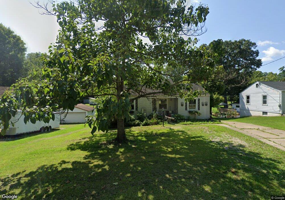
1727 Springdale Rd Cincinnati, OH 45231
New Burlington NeighborhoodEstimated Value: $187,000 - $200,000
3
Beds
1
Bath
1,101
Sq Ft
$177/Sq Ft
Est. Value
About This Home
This home is located at 1727 Springdale Rd, Cincinnati, OH 45231 and is currently estimated at $195,277, approximately $177 per square foot. 1727 Springdale Rd is a home located in Hamilton County with nearby schools including Mt Healthy High School and Central Montessori Academy.
Ownership History
Date
Name
Owned For
Owner Type
Purchase Details
Closed on
Aug 16, 2012
Sold by
Spears Michael D
Bought by
Spears Michael D and Winsted Lori A
Current Estimated Value
Home Financials for this Owner
Home Financials are based on the most recent Mortgage that was taken out on this home.
Original Mortgage
$72,638
Interest Rate
3.5%
Mortgage Type
FHA
Purchase Details
Closed on
Nov 28, 2003
Sold by
Fischvogt Myrtle and Williams Sherry
Bought by
Spears Michael D
Create a Home Valuation Report for This Property
The Home Valuation Report is an in-depth analysis detailing your home's value as well as a comparison with similar homes in the area
Home Values in the Area
Average Home Value in this Area
Purchase History
| Date | Buyer | Sale Price | Title Company |
|---|---|---|---|
| Spears Michael D | -- | Attorney | |
| Spears Michael D | -- | -- |
Source: Public Records
Mortgage History
| Date | Status | Borrower | Loan Amount |
|---|---|---|---|
| Closed | Spears Michael D | $72,638 |
Source: Public Records
Tax History
| Year | Tax Paid | Tax Assessment Tax Assessment Total Assessment is a certain percentage of the fair market value that is determined by local assessors to be the total taxable value of land and additions on the property. | Land | Improvement |
|---|---|---|---|---|
| 2025 | $3,236 | $55,465 | $20,587 | $34,878 |
| 2024 | $3,213 | $55,465 | $20,587 | $34,878 |
| 2023 | $3,048 | $55,465 | $20,587 | $34,878 |
| 2022 | $3,417 | $44,818 | $20,118 | $24,700 |
| 2021 | $3,330 | $44,818 | $20,118 | $24,700 |
| 2020 | $3,374 | $44,818 | $20,118 | $24,700 |
| 2019 | $2,846 | $35,291 | $15,841 | $19,450 |
| 2018 | $2,862 | $35,291 | $15,841 | $19,450 |
| 2017 | $2,719 | $35,291 | $15,841 | $19,450 |
| 2016 | $2,446 | $31,294 | $15,173 | $16,121 |
| 2015 | $2,462 | $31,294 | $15,173 | $16,121 |
| 2014 | $2,451 | $31,294 | $15,173 | $16,121 |
| 2013 | $2,635 | $34,388 | $16,674 | $17,714 |
Source: Public Records
Map
Nearby Homes
- 10453 Mill Rd
- 1917 Springdale Rd
- 2000 Struble Rd
- 1805 Miles Rd
- 1876 Roosevelt Ave
- 1523 Covered Bridge Rd
- 624 Brightview Dr
- 626 Brightview Dr
- 606 Brightview Dr
- 610 Brightview Dr
- 622 Brightview Dr
- 614 Brightview Dr
- 616 Brightview Dr
- 620 Brightview Dr
- 612 Brightview Dr
- 604 Brightview Dr
- 616 Brightview Place Unit 28
- 610 Brightview Place Unit 31
- 622 Brightview Place Unit 26
- 612 Brightview Place Unit 30
- 1735 Springdale Rd
- 1719 Springdale Rd
- 1743 Springdale Rd
- 1703 Springdale Rd
- 1736 Springdale Rd
- 1728 Springdale Rd
- 1718 Springdale Rd
- 0 Springdale Rd Unit 1237869
- 1756 Springdale Rd
- 1770 Springdale Rd
- 1777 Springdale Rd
- 1690 Springdale Rd
- 1785 Springdale Rd
- 10378 Springrun Dr
- 10386 Springrun Dr
- 1801 Springdale Rd
- 10357 Springrun Dr
- 1711 Mill Spring Ct
- 1719 Mill Spring Ct
- 10394 Springrun Dr
Your Personal Tour Guide
Ask me questions while you tour the home.