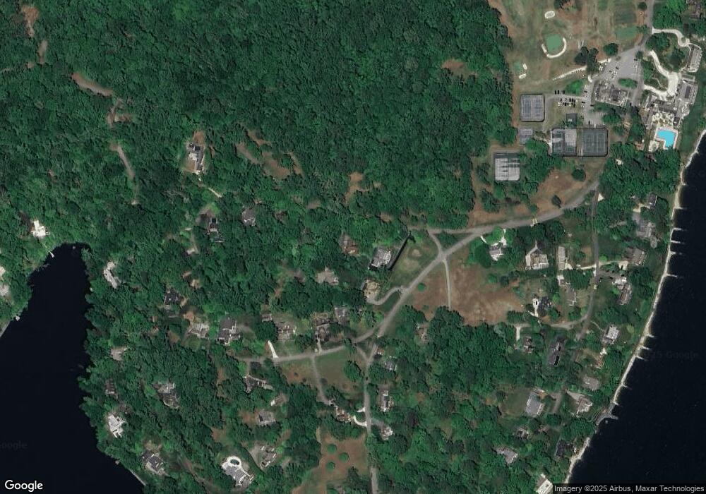
1727 St Giles Rd Gibson Island, MD 21056
Estimated Value: $2,068,732 - $2,781,000
--
Bed
3
Baths
4,106
Sq Ft
$578/Sq Ft
Est. Value
About This Home
This home is located at 1727 St Giles Rd, Gibson Island, MD 21056 and is currently estimated at $2,371,244, approximately $577 per square foot. 1727 St Giles Rd is a home located in Anne Arundel County with nearby schools including Bodkin Elementary School, Chesapeake Bay Middle School, and Chesapeake High School.
Ownership History
Date
Name
Owned For
Owner Type
Purchase Details
Closed on
Aug 31, 2011
Sold by
Groome Walter Todd and Groome Kristina M
Bought by
Goree Paul Ford and Martin Thomas
Current Estimated Value
Purchase Details
Closed on
Mar 17, 2011
Sold by
Groome W Todd
Bought by
Groome W Todd
Purchase Details
Closed on
Nov 10, 2009
Sold by
Groome Todd W
Bought by
Groome Todd W
Purchase Details
Closed on
Oct 5, 2001
Sold by
Griffith Elizabeth L
Bought by
Groome W Todd W and Groome Kristina M
Create a Home Valuation Report for This Property
The Home Valuation Report is an in-depth analysis detailing your home's value as well as a comparison with similar homes in the area
Home Values in the Area
Average Home Value in this Area
Purchase History
| Date | Buyer | Sale Price | Title Company |
|---|---|---|---|
| Goree Paul Ford | -- | None Available | |
| Groome W Todd | -- | -- | |
| Groome Todd W | -- | -- | |
| Groome Todd W | -- | -- | |
| Groome W Todd W | $870,000 | -- |
Source: Public Records
Mortgage History
| Date | Status | Borrower | Loan Amount |
|---|---|---|---|
| Closed | Groome W Todd W | -- |
Source: Public Records
Tax History Compared to Growth
Tax History
| Year | Tax Paid | Tax Assessment Tax Assessment Total Assessment is a certain percentage of the fair market value that is determined by local assessors to be the total taxable value of land and additions on the property. | Land | Improvement |
|---|---|---|---|---|
| 2025 | $22,612 | $2,080,400 | -- | -- |
| 2024 | $22,612 | $1,668,800 | $998,500 | $670,300 |
| 2023 | $17,035 | $1,258,567 | $0 | $0 |
| 2022 | $16,148 | $1,236,133 | $0 | $0 |
| 2021 | $15,856 | $1,213,700 | $968,500 | $245,200 |
| 2020 | $15,327 | $1,172,133 | $0 | $0 |
| 2019 | $14,798 | $1,130,567 | $0 | $0 |
| 2018 | $11,042 | $1,089,000 | $848,500 | $240,500 |
| 2017 | $13,949 | $1,089,000 | $0 | $0 |
| 2016 | -- | $1,089,000 | $0 | $0 |
| 2015 | -- | $1,267,000 | $0 | $0 |
| 2014 | -- | $1,267,000 | $0 | $0 |
Source: Public Records
Map
Nearby Homes
- 628 Ayrlie Water Rd
- 631 Stillwater Rd
- 730 Skywater Rd
- 752 Broadwater Way
- 5108 Mountain Rd
- 1704 Twickenham Rd
- 1807 Mountain Bay Road - Baltimore Model
- 509A Edgewater Rd
- 2003 Cornfield Creek Way
- 222 Magothy Rd
- 1100 Broadview Dr
- 1096 Linden Tree Dr
- 953 Magothy Ave
- 1096
- 1094 Linden Tree Drive - Taft Model
- 1091 Linden Tree Dr
- 0 Cornfield Rd Unit MDAA2094522
- 1034 Saint Margarets Dr
- 1581 Long Point Rd
- 1162 Saint George Dr
- 1731 St Giles Rd
- 624 Cotterill Rd
- 632 Broadwater Way
- 1724 Jorrick Rd
- 1723 St Giles Rd
- 1722 Jorrick Rd
- 603 Cotterill Rd
- 1716 Jorrick Rd
- 608 Kerry Beacon Rd
- 635 Broadwater Way
- 607 Cotterill Rd
- 601 Broadwater Way
- 639 Broadwater Way
- 1710 Jorrick Rd
- 1711 St Giles Rd
- 640 Broadwater Way
- 1715 Jorrick Rd
- 610 Cotterill Rd
- 616 Cotterill Rd
- 643 Broadwater Way
