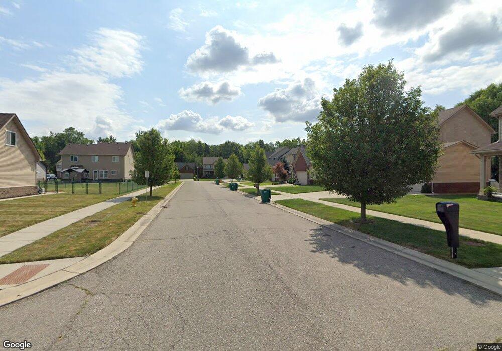
17276 Sunny Crest Dr Brownstown Charter Township, MI 48174
Estimated Value: $350,326 - $371,000
3
Beds
3
Baths
1,606
Sq Ft
$224/Sq Ft
Est. Value
About This Home
This home is located at 17276 Sunny Crest Dr, Brownstown Charter Township, MI 48174 and is currently estimated at $360,082, approximately $224 per square foot. 17276 Sunny Crest Dr is a home located in Wayne County with nearby schools including Eureka Heights Elementary School, Robert J. West Middle School, and Summit Academy North Elementary School.
Ownership History
Date
Name
Owned For
Owner Type
Purchase Details
Closed on
Oct 28, 2016
Sold by
Mjc Browntown Llc
Bought by
Jones Christopher R
Current Estimated Value
Home Financials for this Owner
Home Financials are based on the most recent Mortgage that was taken out on this home.
Original Mortgage
$174,997
Outstanding Balance
$141,935
Interest Rate
3.75%
Mortgage Type
FHA
Estimated Equity
$218,147
Purchase Details
Closed on
Aug 4, 2010
Sold by
Mjc Icon Llc
Bought by
Mjc Brownstown Llc
Create a Home Valuation Report for This Property
The Home Valuation Report is an in-depth analysis detailing your home's value as well as a comparison with similar homes in the area
Home Values in the Area
Average Home Value in this Area
Purchase History
| Date | Buyer | Sale Price | Title Company |
|---|---|---|---|
| Jones Christopher R | $178,226 | None Available | |
| Mjc Brownstown Llc | -- | None Available |
Source: Public Records
Mortgage History
| Date | Status | Borrower | Loan Amount |
|---|---|---|---|
| Open | Jones Christopher R | $174,997 |
Source: Public Records
Tax History Compared to Growth
Tax History
| Year | Tax Paid | Tax Assessment Tax Assessment Total Assessment is a certain percentage of the fair market value that is determined by local assessors to be the total taxable value of land and additions on the property. | Land | Improvement |
|---|---|---|---|---|
| 2025 | $1,995 | $162,900 | $0 | $0 |
| 2024 | $1,995 | $146,200 | $0 | $0 |
| 2023 | $2,201 | $120,600 | $0 | $0 |
| 2022 | $5,095 | $113,600 | $0 | $0 |
| 2021 | $4,257 | $104,200 | $0 | $0 |
| 2020 | $4,048 | $106,800 | $0 | $0 |
| 2019 | $3,676 | $100,400 | $0 | $0 |
| 2018 | $1,623 | $87,300 | $0 | $0 |
| 2017 | $3,778 | $86,700 | $0 | $0 |
| 2016 | $122 | $24,700 | $0 | $0 |
| 2015 | $325 | $20,600 | $0 | $0 |
| 2013 | $1,134 | $20,600 | $0 | $0 |
| 2012 | -- | $20,600 | $20,600 | $0 |
Source: Public Records
Map
Nearby Homes
- 17425 Spartan Dr
- 26263 Oakley Ct Unit 52
- 26291 Pennsylvania Rd
- 26776 Nelson Ave
- 26731 Pennsylvania Rd
- 15810 Beech Daly Rd Unit 366
- 15810 Beech Daly Rd Unit 369
- 16401 Terrace Village Dr
- 16513 Terrace Village Dr Unit 100
- 16031 Beech Daly Rd Unit 174
- 16031 Beech Daly Rd Unit 4
- 16031 Beech Daly Rd Unit 146
- 16031 Beech Daly Rd
- 16031 Beech Daly Rd Unit 10
- VAC Sibley Rd
- 15910 Hampden St
- 25679 Sibley Rd
- 15684 Mcguire St
- 19106 Sylvia Ave
- 15679 Gulley St
- 17514 Spartan Dr
- 17504 Spartan Dr
- 17527 Lange Ave
- 17517 Lange Ave
- 17724 Woodstock Ct
- 17754 Woodstock Ct
- 17875 Woodstock Ct
- 17276 Sunny Crest Ct
- 17286 Sunny Crest Ct
- 17276 Sunny Crest Ct
- 17286 Sunny Crest Ct
- 17845 Woodstock Ct Unit 94
- 17754 Woodstock Ct Unit 97
- 17786 Woodstock Ct
- 17724 Woodstock Ct Unit 98
- 17875 Woodstock Ct Unit 95
- 17815 Woodstock Ct Unit 91
- 17845 Woodstock Ct
- 17825 Woodstock Ct
- 17835 Woodstock Ct Unit 91