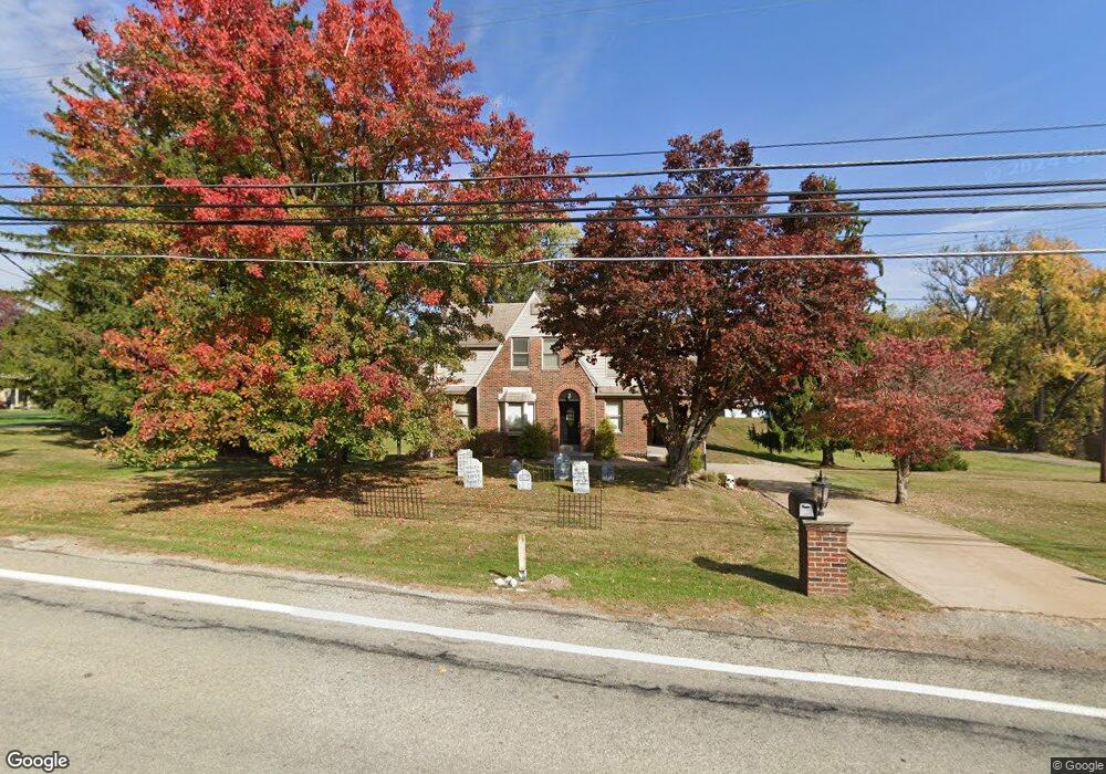
1728 Brodhead Rd Coraopolis, PA 15108
Estimated Value: $245,000 - $383,000
3
Beds
4
Baths
1,448
Sq Ft
$219/Sq Ft
Est. Value
About This Home
This home is located at 1728 Brodhead Rd, Coraopolis, PA 15108 and is currently estimated at $317,790, approximately $219 per square foot. 1728 Brodhead Rd is a home located in Allegheny County with nearby schools including Moon Area High School and Our Lady Of Fatima Elementary School.
Ownership History
Date
Name
Owned For
Owner Type
Purchase Details
Closed on
Apr 23, 2010
Sold by
Bott Erin E and Kavanshansky Erin E
Bought by
Walat Kristin M
Current Estimated Value
Home Financials for this Owner
Home Financials are based on the most recent Mortgage that was taken out on this home.
Original Mortgage
$189,000
Outstanding Balance
$125,578
Interest Rate
5.03%
Mortgage Type
New Conventional
Estimated Equity
$192,212
Purchase Details
Closed on
Aug 31, 2004
Sold by
Davic Thomas
Bought by
Kavanshansky Paul
Home Financials for this Owner
Home Financials are based on the most recent Mortgage that was taken out on this home.
Original Mortgage
$146,000
Interest Rate
6.02%
Mortgage Type
New Conventional
Purchase Details
Closed on
Oct 30, 1998
Sold by
Davic Thomas M and Davic Diane A
Bought by
Davic Thomas M and Davic Diane A
Purchase Details
Closed on
May 1, 1995
Sold by
Mellon Bank Na
Bought by
Davic Thomas M and Kanzius Diane A
Purchase Details
Closed on
Jan 1, 1900
Create a Home Valuation Report for This Property
The Home Valuation Report is an in-depth analysis detailing your home's value as well as a comparison with similar homes in the area
Home Values in the Area
Average Home Value in this Area
Purchase History
| Date | Buyer | Sale Price | Title Company |
|---|---|---|---|
| Walat Kristin M | $210,000 | -- | |
| Kavanshansky Paul | $183,000 | -- | |
| Davic Thomas M | -- | -- | |
| Davic Thomas M | $99,600 | -- | |
| -- | -- | -- |
Source: Public Records
Mortgage History
| Date | Status | Borrower | Loan Amount |
|---|---|---|---|
| Open | Walat Kristin M | $189,000 | |
| Closed | Walat Kristin M | $189,000 | |
| Previous Owner | Kavanshansky Paul | $146,000 |
Source: Public Records
Tax History Compared to Growth
Tax History
| Year | Tax Paid | Tax Assessment Tax Assessment Total Assessment is a certain percentage of the fair market value that is determined by local assessors to be the total taxable value of land and additions on the property. | Land | Improvement |
|---|---|---|---|---|
| 2025 | $4,770 | $152,600 | $41,900 | $110,700 |
| 2024 | $4,770 | $152,600 | $41,900 | $110,700 |
| 2023 | $4,600 | $152,600 | $41,900 | $110,700 |
| 2022 | $4,600 | $152,600 | $41,900 | $110,700 |
| 2021 | $4,599 | $152,600 | $41,900 | $110,700 |
| 2020 | $4,485 | $152,600 | $41,900 | $110,700 |
| 2019 | $4,362 | $152,600 | $41,900 | $110,700 |
| 2018 | $722 | $152,600 | $41,900 | $110,700 |
| 2017 | $4,124 | $152,600 | $41,900 | $110,700 |
| 2016 | $722 | $152,600 | $41,900 | $110,700 |
| 2015 | $722 | $152,600 | $41,900 | $110,700 |
| 2014 | $4,016 | $152,600 | $41,900 | $110,700 |
Source: Public Records
Map
Nearby Homes
- 108 Sweetwater Dr
- KENNEDY Plan at Rolling Hills
- Regent - Finished Basement Plan at Rolling Hills
- 185 Sweetwater Dr
- 181 Sweetwater Dr
- 179 Sweetwater Dr
- 175 Sweetwater Dr
- 173 Sweetwater Dr
- 171 Sweetwater Dr
- 169 Sweetwater Dr
- 165 Sweetwater Dr
- 1858 Brodhead Rd
- 1865 Brodhead Rd
- 1703 Wheatland Ct
- 258 Spring Run Rd
- Lot 1 Brodhead Rd
- Lot 2 Brodhead Rd
- Lot 3 Brodhead Rd
- 919 Harper Rd
- 5202 Harvard Dr
- 1724 Brodhead Rd
- 1720 Brodhead Rd
- 1736 Brodhead Rd
- 1732 Brodhead Rd
- 1729 Brodhead Rd
- 1733 Brodhead Rd
- 1737 Brodhead Rd
- 1740 Brodhead Rd
- 1721 Brodhead Rd
- 1716 Brodhead Rd
- 1741 Brodhead Rd
- 1744 Brodhead Rd
- 1711 Brodhead Rd
- 1746 Brodhead Rd
- 1715 Brodhead Rd
- 1710 Brodhead Rd
- 1749 Brodhead Rd
- 1748 Brodhead Rd
- 208 Country Club Heights
- 1707 Brodhead Rd