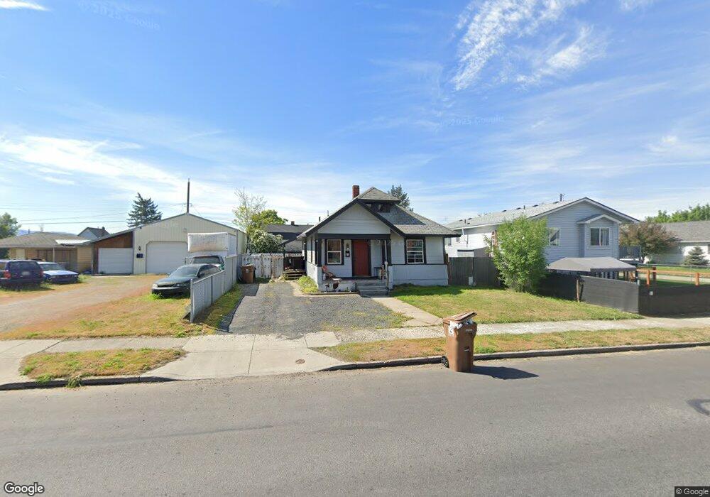
1728 E Bridgeport Ave Spokane, WA 99207
Bemiss NeighborhoodEstimated Value: $228,000 - $270,000
2
Beds
1
Bath
752
Sq Ft
$328/Sq Ft
Est. Value
About This Home
This home is located at 1728 E Bridgeport Ave, Spokane, WA 99207 and is currently estimated at $246,333, approximately $327 per square foot. 1728 E Bridgeport Ave is a home located in Spokane County with nearby schools including Bemiss Elementary School, Shaw Middle School, and Rogers High School.
Ownership History
Date
Name
Owned For
Owner Type
Purchase Details
Closed on
Feb 26, 2007
Sold by
Buys James Michael and Buys Cynthia Irene
Bought by
Roley Chris D
Current Estimated Value
Home Financials for this Owner
Home Financials are based on the most recent Mortgage that was taken out on this home.
Original Mortgage
$83,420
Outstanding Balance
$50,410
Interest Rate
6.23%
Mortgage Type
Purchase Money Mortgage
Estimated Equity
$195,923
Purchase Details
Closed on
Aug 7, 2003
Sold by
Young Angela J V and Crawford Linda B
Bought by
Buys James Michael and Buys Cynthia Irene
Home Financials for this Owner
Home Financials are based on the most recent Mortgage that was taken out on this home.
Original Mortgage
$48,600
Interest Rate
5.17%
Mortgage Type
Purchase Money Mortgage
Create a Home Valuation Report for This Property
The Home Valuation Report is an in-depth analysis detailing your home's value as well as a comparison with similar homes in the area
Home Values in the Area
Average Home Value in this Area
Purchase History
| Date | Buyer | Sale Price | Title Company |
|---|---|---|---|
| Roley Chris D | $86,000 | First American Title Ins | |
| Buys James Michael | $54,000 | Pacific Nw Title |
Source: Public Records
Mortgage History
| Date | Status | Borrower | Loan Amount |
|---|---|---|---|
| Open | Roley Chris D | $83,420 | |
| Previous Owner | Buys James Michael | $48,600 |
Source: Public Records
Tax History Compared to Growth
Tax History
| Year | Tax Paid | Tax Assessment Tax Assessment Total Assessment is a certain percentage of the fair market value that is determined by local assessors to be the total taxable value of land and additions on the property. | Land | Improvement |
|---|---|---|---|---|
| 2025 | $1,368 | $151,000 | $65,000 | $86,000 |
| 2024 | $1,368 | $137,100 | $55,000 | $82,100 |
| 2023 | $1,221 | $135,300 | $55,000 | $80,300 |
| 2022 | $878 | $124,000 | $45,000 | $79,000 |
| 2021 | $722 | $59,900 | $6,000 | $53,900 |
| 2020 | $612 | $48,800 | $6,000 | $42,800 |
| 2019 | $565 | $46,800 | $6,000 | $40,800 |
| 2018 | $590 | $42,000 | $4,000 | $38,000 |
| 2017 | $541 | $39,200 | $4,000 | $35,200 |
| 2016 | $483 | $34,200 | $4,000 | $30,200 |
| 2015 | $460 | $31,800 | $4,000 | $27,800 |
| 2014 | -- | $31,000 | $4,000 | $27,000 |
| 2013 | -- | $0 | $0 | $0 |
Source: Public Records
Map
Nearby Homes
- 1807 E Liberty Ave
- 1624 E Liberty Ave
- 1743 E Dalton Ave
- 1651 N Foothills Dr E
- 1825 E Glass Ave
- 3024 N Hogan St
- 2921 E Fairview Ave
- 1914 E Gordon Ave
- 1418 E Dalton Ave
- 2923 N Hogan St
- 1703 E Providence Ave
- 407 E Cleveland Ave
- 1307 E Bridgeport Ave
- 3002 N Crestline St
- 2117 E Euclid Ave Unit 2119 E Euclid Ave
- 1409 E Gordon Ave Unit (on a quiet cul-de-s
- 2112 E Gordon Ave
- 3414 N Lee St
- 2820 N Perry St
- 3717 N Perry St Unit 3719 N Perry St
- 1728 E Bridgeport Ave
- 3338 N Pittsburg St
- 3338 N Pittsburg St
- 3340 N Pittsburg St
- 1738 E Bridgeport Ave
- 1723 E Liberty Ave
- 1733 E Liberty Ave
- 1737 E Liberty Ave
- 1742 E Bridgeport Ave
- 3323 N Pittsburg St
- 3323 N Pittsburg St
- 1724 E Bridgeport Ave
- 1715 E Liberty Ave
- 1743 E Liberty Ave
- 1804 E Bridgeport Ave
- 1708 E Bridgeport Ave
- 1707 E Liberty Ave
- 1803 E Liberty Ave
- 1808 E Bridgeport Ave
- 1737 E Bridgeport Ave