1728 Edwards Dr Unit 27 Point Roberts, WA 98281
Estimated Value: $387,000 - $406,102
2
Beds
2
Baths
1,051
Sq Ft
$377/Sq Ft
Est. Value
About This Home
This home is located at 1728 Edwards Dr Unit 27, Point Roberts, WA 98281 and is currently estimated at $396,026, approximately $376 per square foot. 1728 Edwards Dr Unit 27 is a home located in Whatcom County with nearby schools including Point Roberts Primary School, Blaine Middle School, and Blaine High School.
Ownership History
Date
Name
Owned For
Owner Type
Purchase Details
Closed on
Jul 9, 2025
Sold by
Palmer Sandra M and Palmer Ronald W
Bought by
Mcfarland Jody M and Mcfarland William E
Current Estimated Value
Home Financials for this Owner
Home Financials are based on the most recent Mortgage that was taken out on this home.
Original Mortgage
$316,000
Outstanding Balance
$315,201
Interest Rate
6.89%
Mortgage Type
New Conventional
Estimated Equity
$80,825
Create a Home Valuation Report for This Property
The Home Valuation Report is an in-depth analysis detailing your home's value as well as a comparison with similar homes in the area
Home Values in the Area
Average Home Value in this Area
Purchase History
| Date | Buyer | Sale Price | Title Company |
|---|---|---|---|
| Mcfarland Jody M | $395,000 | Whatcom Land Title |
Source: Public Records
Mortgage History
| Date | Status | Borrower | Loan Amount |
|---|---|---|---|
| Open | Mcfarland Jody M | $316,000 |
Source: Public Records
Tax History Compared to Growth
Tax History
| Year | Tax Paid | Tax Assessment Tax Assessment Total Assessment is a certain percentage of the fair market value that is determined by local assessors to be the total taxable value of land and additions on the property. | Land | Improvement |
|---|---|---|---|---|
| 2024 | $2,966 | $387,287 | $120,175 | $267,112 |
| 2023 | $2,865 | $376,362 | $109,250 | $267,112 |
| 2022 | $2,662 | $327,271 | $95,000 | $232,271 |
| 2021 | $3,013 | $290,602 | $80,892 | $209,710 |
| 2020 | $2,871 | $305,906 | $85,152 | $220,754 |
| 2019 | $2,648 | $281,937 | $78,480 | $203,457 |
| 2018 | $2,574 | $253,916 | $70,680 | $183,236 |
| 2017 | $2,175 | $225,248 | $62,700 | $162,548 |
| 2016 | $2,312 | $215,548 | $60,000 | $155,548 |
| 2015 | $2,353 | $222,650 | $65,000 | $157,650 |
| 2014 | -- | $222,650 | $65,000 | $157,650 |
| 2013 | -- | $222,650 | $65,000 | $157,650 |
Source: Public Records
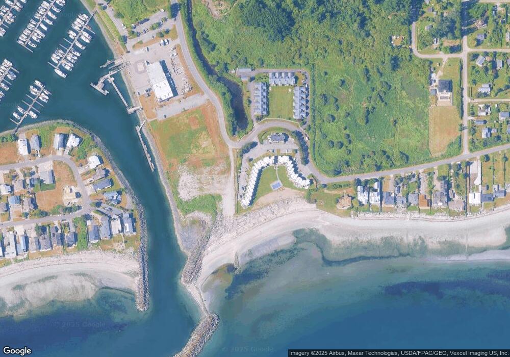
Map
Nearby Homes
- Lot 3 Edwards Dr
- 1920 Patos Way
- 19 Harbor Seal Dr
- 1587 Harbor Seal Dr
- 1927 Orcas View Way
- 1561 Edwards Dr
- 1881 Edwards Dr
- 698 Kendor Dr
- 634 S Beach Rd
- 661 Driftwood Ln
- 1934 Waters Rd
- 1911 Apa Rd
- 1477 Edwards Dr
- 1561 Ocean View Ln
- 1940 Apa Rd
- 675 Sylvia Dr
- 1453 Edwards Dr
- 0 Edwards Dr Unit Lot 2 11256474
- 0 6 39 Acres South Beach Rd
- 1976 Cedar Park Dr
- 1728 Edwards Dr
- 1728 Edwards Dr Unit 32
- 1728 Edwards Dr Unit 31
- 1728 Edwards Dr Unit 30
- 1728 Edwards Dr Unit 29
- 1728 Edwards Dr Unit 28
- 1728 Edwards Dr Unit 26
- 1728 Edwards Dr Unit 25
- 1728 Edwards Dr Unit 24
- 1728 Edwards Dr Unit 23
- 1728 Edwards Dr Unit 22
- 1728 Edwards Dr Unit 21
- 1728 Edwards Dr Unit 20
- 1728 Edwards Dr Unit 19
- 1728 Edwards Dr Unit 18
- 1728 Edwards Dr Unit 17
- 1728 Edwards Dr Unit 16
- 1728 Edwards Dr Unit 15
- 1728 Edwards Dr Unit 14
- 1728 Edwards Dr Unit 13