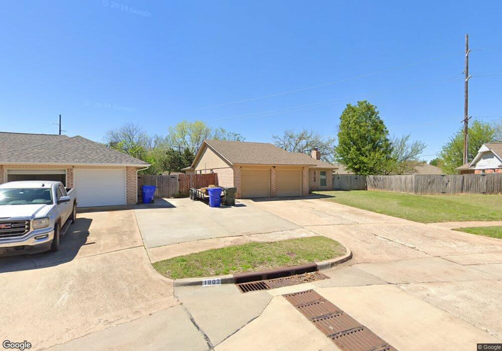
1728 Oakcliff Rd Norman, OK 73071
Southeast Norman NeighborhoodEstimated Value: $195,000 - $212,000
3
Beds
2
Baths
1,506
Sq Ft
$136/Sq Ft
Est. Value
About This Home
This home is located at 1728 Oakcliff Rd, Norman, OK 73071 and is currently estimated at $204,076, approximately $135 per square foot. 1728 Oakcliff Rd is a home located in Cleveland County with nearby schools including Kennedy Elementary School, Irving Middle School, and Norman High School.
Ownership History
Date
Name
Owned For
Owner Type
Purchase Details
Closed on
Mar 24, 2006
Sold by
Green Kory Lynn and Green Sandra
Bought by
Matlock Ronnie L and Matlock Amber B
Current Estimated Value
Home Financials for this Owner
Home Financials are based on the most recent Mortgage that was taken out on this home.
Original Mortgage
$106,500
Outstanding Balance
$69,282
Interest Rate
8.87%
Mortgage Type
Adjustable Rate Mortgage/ARM
Estimated Equity
$134,794
Purchase Details
Closed on
Jul 31, 2003
Sold by
Buss Brandon and Buss Cheryl
Bought by
Green Kory Lynn Briggs Sandra
Create a Home Valuation Report for This Property
The Home Valuation Report is an in-depth analysis detailing your home's value as well as a comparison with similar homes in the area
Home Values in the Area
Average Home Value in this Area
Purchase History
| Date | Buyer | Sale Price | Title Company |
|---|---|---|---|
| Matlock Ronnie L | $106,500 | None Available | |
| Green Kory Lynn Briggs Sandra | $92,000 | -- |
Source: Public Records
Mortgage History
| Date | Status | Borrower | Loan Amount |
|---|---|---|---|
| Open | Matlock Ronnie L | $106,500 |
Source: Public Records
Tax History Compared to Growth
Tax History
| Year | Tax Paid | Tax Assessment Tax Assessment Total Assessment is a certain percentage of the fair market value that is determined by local assessors to be the total taxable value of land and additions on the property. | Land | Improvement |
|---|---|---|---|---|
| 2024 | $1,538 | $13,844 | $3,219 | $10,625 |
| 2023 | $1,494 | $13,441 | $3,226 | $10,215 |
| 2022 | $1,388 | $13,050 | $2,400 | $10,650 |
| 2021 | $1,463 | $13,050 | $2,400 | $10,650 |
| 2020 | $1,431 | $13,050 | $2,400 | $10,650 |
| 2019 | $1,456 | $13,050 | $2,400 | $10,650 |
| 2018 | $1,412 | $13,050 | $2,400 | $10,650 |
| 2017 | $1,428 | $13,050 | $0 | $0 |
| 2016 | $1,422 | $12,812 | $2,356 | $10,456 |
| 2015 | $1,336 | $12,439 | $1,789 | $10,650 |
| 2014 | $1,349 | $12,439 | $1,789 | $10,650 |
Source: Public Records
Map
Nearby Homes
- 1848 Parkridge Dr
- 1833 Parkridge Dr
- 1812 Ridgewood Dr
- 2124 Oakside Dr
- 1603 Oakcrest Ave
- 1421 Teakwood Dr
- 1840 Wolford Way
- 1824 Wolford Way
- 2018 Oakmeadows Dr
- 1301 Whippoorwill Dr
- 1600 Rolling Stone Dr
- 1621 Woodcreek Ct
- 1346 Concord Ct
- 1900 Twin Tree Dr
- 1701 Briarcreek
- 2007 Delphine Dr
- 1927 Wolford Way
- 1902 Wolford Way
- Hayes Plan at The Villages
- Rincon Plan at The Villages
- 1802 Lakehurst Dr
- 1724 Oakcliff Rd
- 1718 Oakcliff Rd
- 1853 Parkridge Dr
- 1807 Lakehurst Dr
- 1849 Parkridge Dr
- 1857 Parkridge Dr
- 1806 Lakehurst Dr
- 1845 Parkridge Dr
- 1810 Lakehurst Dr
- 1710 Oakcliff Rd
- 1716 Parkridge Dr
- 1841 Parkridge Dr
- 1811 Lakehurst Dr
- 1702 Oakcliff Rd
- 1800 Ridgewood Dr
- 1814 Lakehurst Dr
- 1712 Parkridge Dr
- 1837 Parkridge Dr
- 1804 Ridgewood Dr