NOT LISTED FOR SALE

1728 S Cedar Dr Apache Junction, AZ 85120

Estimated Value: $319,000 - $357,000

0.18 Acre
$1,862,017 Price per Acre
8,035 Sq Ft Lot

Last Sold February 29, 2020

Last sale price $50,000

Est. 570% increase in value since last sale

Current estimated payment $1,878/month

21 Days on Market

About This Lot

As of February 2020

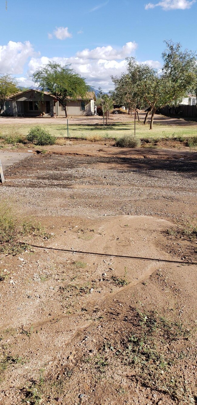
Great Building lot for Residential Home or Pre Manufactured. Good investment.
2 other lots are available.

Last Agent to Sell the Property

Craig Peck

RE/MAX Foothills License #BR007580000 Listed on: 01/24/2020

Last Buyer's Agent

Craig Peck

RE/MAX Foothills License #BR007580000 Listed on: 01/24/2020

Property Details

Property Type

  • Land

Est. Annual Taxes

  • $175

Lot Details

  • 8,035 Sq Ft Lot
  • Block Wall Fence
  • Chain Link Fence
  • Additional Parcels

Schools

  • Apache Elementary School
  • Apache Junction High School

Community Details

  • No Home Owners Association
  • Beg At The Sw Cr Of Ne Nw Sw Of Sec 30 1N 8E Th W Subdivision

Listing and Financial Details

  • Tax Lot '-'
  • Assessor Parcel Number 102-18-026

Property Details

Property Type

Land

Est. Annual Taxes

$175

Lot Details

0

Listing Details

  • Cross Street: Meridian Rd & Broadway
  • Legal Info Range: 08E
  • Property Type: Land
  • Zoning: Residential
  • Tax Year: 2019
  • Lot Size Acres: 0.18
  • Subdivision Name: BEG AT THE SW CR OF NE NW SW OF SEC 30-1N-8E TH W-
  • Special Features: None
  • Property Sub Type: LotsLands

Interior Features

  • Possible Use: Single Family, Mobile/Mgf Hme/RV's

Exterior Features

  • Fencing: Block, Chain Link
  • Disclosures: Boundary Survey Avlb

Utilities

  • Electric: Other (See Rmks), SRP, Individual Meter
  • Water Source: Private Franchise, Check Availability

Condo/Co-op/Association

  • HOA Telephone: 0
  • Phone: 0
  • Association: No

Schools

  • Elementary School: Apache Elementary School (Douglas)
  • High School: Apache Junction High School

Lot Info

  • Lot Size: 61'x132'
  • Lot Size Sq Ft: 8035.0
  • Additional Parcels: Yes
  • Parcel #: 102-18-026
  • ResoLotSizeUnits: Acres

Tax Info

  • Tax Annual Amount: 175.0
  • Tax Book Number: 102.00
  • Tax Lot: '-'
  • Tax Map Number: 18.00

Ownership History

Date Name Owned For Owner Type

Purchase Details

Closed on
Mar 11, 2024
Sold by
Moncado Nicholas John
Bought by
Moncado Michael
Current Estimated Value
$335,163

Home Financials for this Owner

Home Financials are based on the most recent Mortgage that was taken out on this home.
Original Mortgage
$350,000
Outstanding Balance
$344,244
Interest Rate
6.69%
Mortgage Type
VA
Estimated Equity
-$9,081

Purchase Details

Listed on
Jan 24, 2020
Closed on
Feb 21, 2020
Sold by
Iron Granite Llc
Bought by
Moncado Nicholas John
Seller's Agent
Craig Peck
RE/MAX Foothills
Buyer's Agent
Craig Peck
RE/MAX Foothills
List Price
$60,000
Sold Price
$50,000
Premium/Discount to List
-$10,000
-16.67%

Home Financials for this Owner

Home Financials are based on the most recent Mortgage that was taken out on this home.
Avg. Annual Appreciation
37.98%

Purchase Details

Listed on
Jan 24, 2020
Closed on
Feb 12, 2020
Sold by
Moncado Rebecca
Bought by
Moncado Nicholas John
Seller's Agent
Craig Peck
RE/MAX Foothills
Buyer's Agent
Craig Peck
RE/MAX Foothills
List Price
$60,000
Sold Price
$50,000
Premium/Discount to List
-$10,000
-16.67%

Purchase Details

Closed on
Mar 12, 2008
Sold by
Csw Development Llc
Bought by
Mountain Valley Rv Llc

Purchase Details

Closed on
Jan 17, 2008
Sold by
Thompson Oren B and Thompson Cherylee A
Bought by
Csw Development Llc
Source: Public Records
Create a Home Valuation Report for This Property
The Home Valuation Report is an in-depth analysis detailing your home's value as well as a comparison with similar homes in the area

Home Values in the Area

Source: Public Records

Average Home Value in this Area


Source: Public Records

Purchase History

Date Buyer Sale Price Title Company
Moncado Michael $350,000 Security Title Agency
Moncado Nicholas John $50,000 First American Title
Moncado Nicholas John -- First American Title Ins Co
Mountain Valley Rv Llc $200,000 Transnation Title Insurance
Csw Development Llc $5,000 Transnation Title Ins Co
Source: Public Records

Mortgage History

Date Status Borrower Loan Amount
Open Moncado Michael $350,000
Source: Public Records

Property History

Date Event Price List to Sale Price per Sq Ft
02/29/2020 02/29/20 Sold $50,000 -16.7% --
01/23/2020 01/23/20 For Sale $60,000 -- --
Source: Arizona Regional Multiple Listing Service (ARMLS)

Tax History

Year Tax Paid Tax Assessment Tax Assessment Total Assessment is a certain percentage of the fair market value that is determined by local assessors to be the total taxable value of land and additions on the property. Land Improvement
2025 $1,205 $25,484 -- --
2024 $1,292 $27,120 -- --
2023 $1,348 $22,059 $1,176 $20,883
2022 $1,292 $1,282 $1,176 $106
2021 $187 $1,280 $0 $0
2020 $182 $1,277 $0 $0
2019 $175 $2,058 $0 $0
2018 $171 $1,095 $0 $0
2017 $175 $1,096 $0 $0
2016 $158 $1,096 $1,000 $96
2014 $179 $1,172 $1,000 $172
Source: Public Records

Agents Affiliated with this Home

  • Section Image
See All Agents

Map

Source: Arizona Regional Multiple Listing Service (ARMLS)

MLS Number: 6027801

Arizona Regional Multiple Listing Service (ARMLS)

APN: 102-18-026