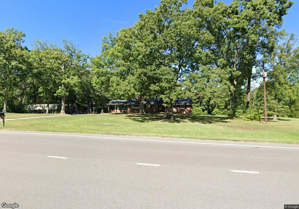
1728 Sherron Rd Durham, NC 27703
Eastern Durham NeighborhoodEstimated Value: $312,000 - $472,887
3
Beds
2
Baths
1,804
Sq Ft
$223/Sq Ft
Est. Value
About This Home
This home is located at 1728 Sherron Rd, Durham, NC 27703 and is currently estimated at $401,972, approximately $222 per square foot. 1728 Sherron Rd is a home located in Durham County with nearby schools including Spring Valley Elementary School, John W Neal Middle School, and Southern School of Energy & Sustainability.
Ownership History
Date
Name
Owned For
Owner Type
Purchase Details
Closed on
Jan 31, 2012
Sold by
Estate Of William E Rice and Rice William E
Bought by
Young Brian and Young Misty
Current Estimated Value
Home Financials for this Owner
Home Financials are based on the most recent Mortgage that was taken out on this home.
Original Mortgage
$106,000
Outstanding Balance
$73,003
Interest Rate
4%
Mortgage Type
New Conventional
Estimated Equity
$328,969
Purchase Details
Closed on
Oct 28, 1997
Sold by
Rice William E Hyacinth
Bought by
Rice Donald Claude and Rice William Elbert
Create a Home Valuation Report for This Property
The Home Valuation Report is an in-depth analysis detailing your home's value as well as a comparison with similar homes in the area
Home Values in the Area
Average Home Value in this Area
Purchase History
| Date | Buyer | Sale Price | Title Company |
|---|---|---|---|
| Young Brian | $133,000 | None Available | |
| Rice Donald Claude | -- | -- |
Source: Public Records
Mortgage History
| Date | Status | Borrower | Loan Amount |
|---|---|---|---|
| Open | Young Brian | $106,000 |
Source: Public Records
Tax History Compared to Growth
Tax History
| Year | Tax Paid | Tax Assessment Tax Assessment Total Assessment is a certain percentage of the fair market value that is determined by local assessors to be the total taxable value of land and additions on the property. | Land | Improvement |
|---|---|---|---|---|
| 2025 | $2,819 | $512,341 | $217,056 | $295,285 |
| 2024 | $2,819 | $268,118 | $77,220 | $190,898 |
| 2023 | $2,703 | $268,118 | $77,220 | $190,898 |
| 2022 | $2,613 | $268,118 | $77,220 | $190,898 |
| 2021 | $2,352 | $268,118 | $77,220 | $190,898 |
| 2020 | $2,298 | $268,118 | $77,220 | $190,898 |
| 2019 | $2,271 | $268,118 | $77,220 | $190,898 |
| 2018 | $2,017 | $218,520 | $64,440 | $154,080 |
| 2017 | $1,951 | $218,520 | $64,440 | $154,080 |
| 2016 | $1,891 | $218,520 | $64,440 | $154,080 |
| 2015 | $1,766 | $176,252 | $47,502 | $128,750 |
| 2014 | $1,744 | $172,967 | $47,502 | $125,465 |
Source: Public Records
Map
Nearby Homes
- 1613 Waddell Ct
- 200 Callandale Ln
- 1821 S Mineral Springs Rd
- 533 Kings Lake Way
- 543 Callandale Ln
- 4 Seawell Ct
- 1607 Willowcrest Rd
- 1602 Eagle Lodge Ln
- 140 Token House Rd
- Winstead III Plan at Mica Ridge - Sterling Collection
- Nelson Plan at Mica Ridge - Sterling Collection
- Somerset III Plan at Mica Ridge - Sterling Collection
- 144 Daneborg Rd
- 110 Elmsford St
- 104 Elmsford St
- 148 Daneborg Rd
- 1711 S Miami Blvd
- 3465 Delmar Dr
- 3463 Delmar Dr
- 3459 Delmar Dr
- 1802 Sherron Rd
- 1714 Waddell Ct
- 1716 Waddell Ct
- 1712 Waddell Ct
- 1718 Waddell Ct
- 1714 Sherron Rd
- 1710 Waddell Ct
- 6 Wooten Ct
- 1708 Waddell Ct
- 100 Callandale Ln
- 4 Wooten Ct
- 1709 Waddell Ct
- 7 Wooten Ct
- 1722 Waddell Ct
- 1614 Pattersons Mill Rd
- 101 Callandale Ln
- 1707 Waddell Ct
- 1706 Waddell Ct
- 16 Palmetto Cir
- 1612 Pattersons Mill Rd