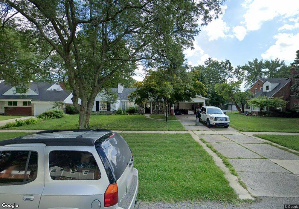
17289 Cornell Rd Southfield, MI 48075
Estimated Value: $253,000 - $275,000
3
Beds
2
Baths
1,659
Sq Ft
$157/Sq Ft
Est. Value
About This Home
This home is located at 17289 Cornell Rd, Southfield, MI 48075 and is currently estimated at $260,998, approximately $157 per square foot. 17289 Cornell Rd is a home located in Oakland County with nearby schools including Agbu Alex-Marie Manoogian School, Pembroke Academy, and Detroit Christian Schools of Excellence.
Ownership History
Date
Name
Owned For
Owner Type
Purchase Details
Closed on
Sep 2, 2008
Sold by
Harris Jerald W and Harris Leva L
Bought by
Wachovia Bank Fsb and World Savings Bank Fsb
Current Estimated Value
Purchase Details
Closed on
Oct 28, 1999
Sold by
Benon Regina
Bought by
Harris Jerald W
Home Financials for this Owner
Home Financials are based on the most recent Mortgage that was taken out on this home.
Original Mortgage
$137,600
Interest Rate
7.69%
Mortgage Type
Purchase Money Mortgage
Create a Home Valuation Report for This Property
The Home Valuation Report is an in-depth analysis detailing your home's value as well as a comparison with similar homes in the area
Home Values in the Area
Average Home Value in this Area
Purchase History
| Date | Buyer | Sale Price | Title Company |
|---|---|---|---|
| Wachovia Bank Fsb | $16,605 | None Available | |
| Harris Jerald W | $172,000 | -- |
Source: Public Records
Mortgage History
| Date | Status | Borrower | Loan Amount |
|---|---|---|---|
| Previous Owner | Harris Jerald W | $137,600 |
Source: Public Records
Tax History Compared to Growth
Tax History
| Year | Tax Paid | Tax Assessment Tax Assessment Total Assessment is a certain percentage of the fair market value that is determined by local assessors to be the total taxable value of land and additions on the property. | Land | Improvement |
|---|---|---|---|---|
| 2022 | $3,007 | $102,130 | $23,000 | $79,130 |
| 2021 | $3,030 | $93,350 | $25,460 | $67,890 |
| 2020 | $2,531 | $75,080 | $15,800 | $59,280 |
| 2018 | $3,188 | $58,700 | $14,000 | $44,700 |
| 2015 | -- | $46,780 | $0 | $0 |
| 2014 | -- | $42,960 | $0 | $0 |
| 2011 | -- | $46,370 | $0 | $0 |
Source: Public Records
Map
Nearby Homes
- 17581 Roxbury Ave
- 16400 N Park Dr Unit 414
- 16400 N Park Dr Unit 1218
- 16400 N Park Dr Unit 810
- 18252 Westland Ave
- 18249 Westover Ave
- 16260 Mayfair Dr Unit 102
- 16245 Roanoke St
- 16275 W 9 Mile Rd
- 20569 Biltmore St
- 20558 Oakfield St
- 18155 Westhaven Ave
- 20542 Oakfield St
- 18469 Westland Ave
- 20536 Ferguson St
- 20510 Fenmore St
- 20300 Gilchrist St
- 18656 Midway Ave
- 20542 Ashton Ave
- 20575 Rutherford St
- 17259 Cornell Rd Unit Bldg-Unit
- 17259 Cornell Rd
- 17309 Cornell Rd
- 17239 Cornell Rd
- 17272 Dorset Ave
- 17290 Dorset Ave
- 17250 Dorset Ave
- 17333 Cornell Rd
- 17228 Dorset Ave
- 17320 Dorset Ave
- 17280 Cornell Rd
- 17300 Cornell Rd
- 17250 Cornell Rd
- 17334 Dorset Ave
- 17349 Cornell Rd
- 17350 Dorset Ave
- 17330 Cornell Rd
- 17350 Cornell Rd
- 17267 Dorset Ave
- 17303 Dorset Ave