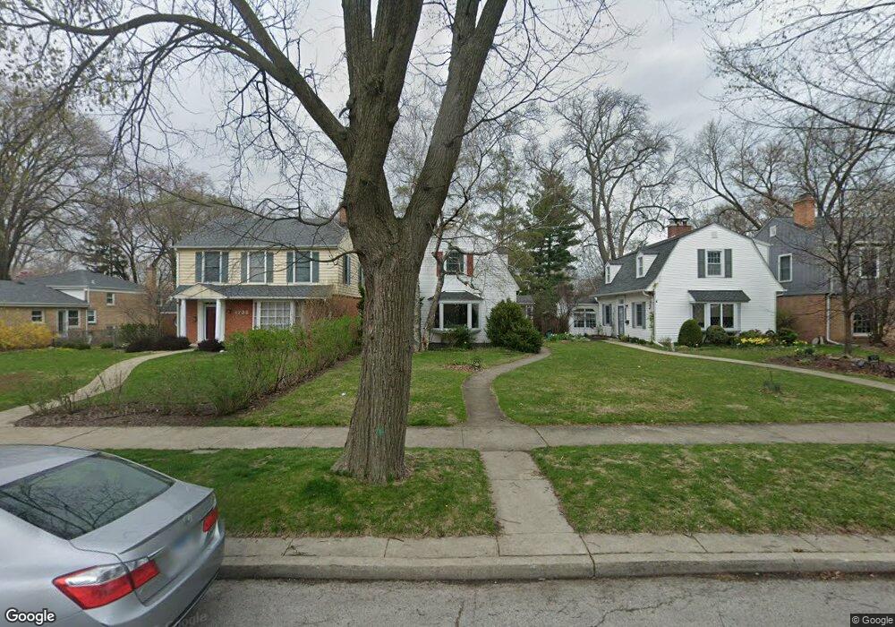
1729 Dobson St Evanston, IL 60202
Howard Street NeighborhoodEstimated Value: $495,000 - $555,584
3
Beds
2
Baths
1,267
Sq Ft
$413/Sq Ft
Est. Value
About This Home
This home is located at 1729 Dobson St, Evanston, IL 60202 and is currently estimated at $522,646, approximately $412 per square foot. 1729 Dobson St is a home located in Cook County with nearby schools including Dawes Elementary School, Chute Middle School, and Evanston Township High School.
Ownership History
Date
Name
Owned For
Owner Type
Purchase Details
Closed on
Aug 18, 2003
Sold by
Gramza Maryanne and Mertes Dc Neil
Bought by
Kavesky Manon and Sierant Jeanne Marie
Current Estimated Value
Home Financials for this Owner
Home Financials are based on the most recent Mortgage that was taken out on this home.
Original Mortgage
$257,000
Interest Rate
6.4%
Mortgage Type
Balloon
Create a Home Valuation Report for This Property
The Home Valuation Report is an in-depth analysis detailing your home's value as well as a comparison with similar homes in the area
Home Values in the Area
Average Home Value in this Area
Purchase History
| Date | Buyer | Sale Price | Title Company |
|---|---|---|---|
| Kavesky Manon | $337,000 | -- |
Source: Public Records
Mortgage History
| Date | Status | Borrower | Loan Amount |
|---|---|---|---|
| Previous Owner | Kavesky Manon | $257,000 |
Source: Public Records
Tax History Compared to Growth
Tax History
| Year | Tax Paid | Tax Assessment Tax Assessment Total Assessment is a certain percentage of the fair market value that is determined by local assessors to be the total taxable value of land and additions on the property. | Land | Improvement |
|---|---|---|---|---|
| 2024 | $9,489 | $42,000 | $13,056 | $28,944 |
| 2023 | $9,078 | $42,000 | $13,056 | $28,944 |
| 2022 | $9,078 | $42,000 | $13,056 | $28,944 |
| 2021 | $6,773 | $28,513 | $6,936 | $21,577 |
| 2020 | $6,741 | $28,513 | $6,936 | $21,577 |
| 2019 | $6,740 | $31,823 | $6,936 | $24,887 |
| 2018 | $9,777 | $38,652 | $5,712 | $32,940 |
| 2017 | $9,536 | $38,652 | $5,712 | $32,940 |
| 2016 | $9,267 | $38,652 | $5,712 | $32,940 |
| 2015 | $6,661 | $27,118 | $6,732 | $20,386 |
| 2014 | $6,612 | $27,118 | $6,732 | $20,386 |
| 2013 | $6,443 | $27,118 | $6,732 | $20,386 |
Source: Public Records
Map
Nearby Homes
- 1726 Dobson St
- 1615 W Howard St Unit 303
- 215 Brown Ave
- 309 Darrow Ave
- 2011 Brummel St
- 325 Dodge Ave
- 235 Richmond St
- 1406 Brummel St
- 401 Dewey Ave
- 2130 Brummel St
- 220 Richmond St
- 347 Florence Ave
- 419 Florence Ave
- 2522 W Jarvis Ave
- 1810 South Blvd
- 1200 Dobson St
- 1927 Warren St
- 1217 Hull Terrace Unit 3A
- 3024 W Fargo Ave
- 7546 N Oakley Ave
- 1733 Dobson St
- 1727 Dobson St
- 1723 Dobson St
- 1807 Dobson St
- 1721 Dobson St
- 1809 Dobson St
- 1717 Dobson St
- 1728 Brummel St
- 1802 Brummel St
- 1726 Brummel St
- 1722 Brummel St
- 1722 Brummel St
- 1806 Brummel St
- 1713 Dobson St
- 1815 Dobson St
- 7410 Brummel St
- 1720 Brummel St
- 1810 Brummel St
- 1732 Dobson St
- 1711 Dobson St