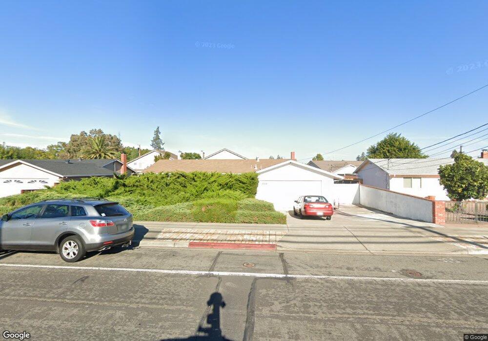
1729 West St Concord, CA 94521
Dana Estates NeighborhoodEstimated Value: $685,666 - $779,000
3
Beds
2
Baths
1,365
Sq Ft
$536/Sq Ft
Est. Value
About This Home
This home is located at 1729 West St, Concord, CA 94521 and is currently estimated at $731,417, approximately $535 per square foot. 1729 West St is a home located in Contra Costa County with nearby schools including Westwood Elementary School, El Dorado Middle School, and Concord High School.
Ownership History
Date
Name
Owned For
Owner Type
Purchase Details
Closed on
Jan 15, 2016
Sold by
Andress Bessie E
Bought by
Andress Bessie E and Swanson Mary Ann
Current Estimated Value
Purchase Details
Closed on
Aug 14, 2004
Sold by
Andress Bessie E and Swanson Mary Ann
Bought by
Andress Bessie E
Purchase Details
Closed on
Jul 18, 2003
Sold by
Andress Bessie E and Swanson Mary Ann
Bought by
Andress Bessie E and Swanson Mary Ann
Home Financials for this Owner
Home Financials are based on the most recent Mortgage that was taken out on this home.
Original Mortgage
$50,000
Interest Rate
5.15%
Mortgage Type
Purchase Money Mortgage
Purchase Details
Closed on
May 27, 2003
Sold by
Andress Bessie E
Bought by
Andress Bessie E and Swanson Mary Ann
Home Financials for this Owner
Home Financials are based on the most recent Mortgage that was taken out on this home.
Original Mortgage
$50,000
Interest Rate
5.15%
Mortgage Type
Purchase Money Mortgage
Purchase Details
Closed on
Mar 12, 1997
Sold by
Bessie Andress
Bought by
Andress Bessie E
Create a Home Valuation Report for This Property
The Home Valuation Report is an in-depth analysis detailing your home's value as well as a comparison with similar homes in the area
Home Values in the Area
Average Home Value in this Area
Purchase History
| Date | Buyer | Sale Price | Title Company |
|---|---|---|---|
| Andress Bessie E | -- | None Available | |
| Andress Bessie E | -- | -- | |
| Andress Bessie E | -- | First American Title | |
| Andress Bessie E | -- | -- | |
| Andress Bessie E | -- | -- |
Source: Public Records
Mortgage History
| Date | Status | Borrower | Loan Amount |
|---|---|---|---|
| Previous Owner | Andress Bessie E | $50,000 |
Source: Public Records
Tax History
| Year | Tax Paid | Tax Assessment Tax Assessment Total Assessment is a certain percentage of the fair market value that is determined by local assessors to be the total taxable value of land and additions on the property. | Land | Improvement |
|---|---|---|---|---|
| 2025 | $1,912 | $87,562 | $32,326 | $55,236 |
| 2024 | $1,783 | $85,846 | $31,693 | $54,153 |
| 2023 | $1,783 | $84,164 | $31,072 | $53,092 |
| 2022 | $1,731 | $82,514 | $30,463 | $52,051 |
| 2021 | $1,667 | $80,897 | $29,866 | $51,031 |
| 2019 | $1,618 | $78,499 | $28,981 | $49,518 |
| 2018 | $1,541 | $76,961 | $28,413 | $48,548 |
| 2017 | $1,471 | $75,453 | $27,856 | $47,597 |
| 2016 | $1,386 | $73,974 | $27,310 | $46,664 |
| 2015 | $1,266 | $72,864 | $26,900 | $45,964 |
| 2014 | $1,207 | $71,438 | $26,374 | $45,064 |
Source: Public Records
Map
Nearby Homes
- 1745 Eucalyptus Ct
- 1757 Eucalyptus Ct
- 1773 Pinetree Ct
- 1793 Live Oak Ave
- 4095 Phoenix St
- 4063 Salem St
- 1760 Sharon Dr
- 4024 Salem St
- 1777 Clayton Way
- 3875 Logan Ct
- 4092 Nulty Dr
- 1579 West St
- 4203 Dubhe Ct
- 3959 Chestnut Ave
- 3754 Walnut Ave
- 4081 Clayton Rd Unit 235
- 4081 Clayton Rd Unit 118
- 1536 Lavetta Way
- 1765 Glazier Dr
- 3901 Clayton Rd Unit 25
- 1725 West St
- 1733 West St
- 1728 Greentree Dr
- 1734 Greentree Dr
- 1722 Greentree Dr
- 1741 West St
- 1719 West St
- 4001 Roland Dr
- 1718 Greentree Dr
- 1738 Eucalyptus Ct
- 1740 Greentree Dr
- 1745 West St
- 1744 Eucalyptus Ct
- 4003 Roland Dr
- 1712 Greentree Dr
- 4000 Roland Dr
- 1739 Eucalyptus Ct
- 1723 Greentree Dr
- 1729 Greentree Dr
- 1749 West St
Your Personal Tour Guide
Ask me questions while you tour the home.