Estimated Value: $202,000 - $480,312
--
Bed
--
Bath
--
Sq Ft
35.84
Acres
About This Home
This home is located at 17290 Peters Farm Rd, Irons, MI 49644 and is currently estimated at $299,104. 17290 Peters Farm Rd is a home located in Manistee County with nearby schools including Kaleva Norma Dickson Elementary School, Brethren Middle School, and Brethren Middle/High School.
Ownership History
Date
Name
Owned For
Owner Type
Purchase Details
Closed on
Sep 1, 1995
Current Estimated Value
Create a Home Valuation Report for This Property
The Home Valuation Report is an in-depth analysis detailing your home's value as well as a comparison with similar homes in the area
Home Values in the Area
Average Home Value in this Area
Purchase History
| Date | Buyer | Sale Price | Title Company |
|---|---|---|---|
| -- | $42,000 | -- |
Source: Public Records
Tax History Compared to Growth
Tax History
| Year | Tax Paid | Tax Assessment Tax Assessment Total Assessment is a certain percentage of the fair market value that is determined by local assessors to be the total taxable value of land and additions on the property. | Land | Improvement |
|---|---|---|---|---|
| 2025 | $4,446 | $245,700 | $0 | $0 |
| 2024 | $1,713 | $211,800 | $0 | $0 |
| 2023 | $1,638 | $186,000 | $0 | $0 |
| 2022 | $3,998 | $171,600 | $171,600 | $0 |
| 2021 | $3,840 | $158,700 | $158,700 | $0 |
| 2020 | $3,714 | $157,200 | $157,200 | $0 |
| 2019 | $3,690 | $146,800 | $146,800 | $0 |
| 2018 | $3,631 | $125,500 | $125,500 | $0 |
| 2017 | $3,556 | $120,900 | $120,900 | $0 |
| 2016 | $1,379 | $118,700 | $118,700 | $0 |
| 2015 | -- | $122,400 | $122,400 | $0 |
| 2014 | -- | $123,800 | $0 | $0 |
Source: Public Records
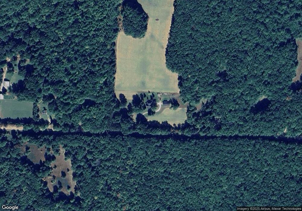
Map
Nearby Homes
- 11550 N Hilltop Dr
- 16206 Peters Farm Rd
- 0 Mary St Unit 25014901
- 10897 N Mac Rd
- 7400 W 10 1 2 Mile Rd
- 8047 W 10 1 2 Mile Rd
- 9054 W 11 Mile Rd
- 8073 W 10 1 2 Mile Rd
- Par 15 W 12 Mile Rd
- Par 16 W 12 Mile Rd
- 3815 Joseph St
- 8964 W Elbow Dr
- 0 N Caribou Trail Unit 25042948
- 00000 W Estes Dr
- Lot B Jeffers St
- 9731 N Bass Lake Rd
- 5042 Jeffers St
- Lot A W 10 1 2 Mile Rd
- 17111 Gene St
- 17423 Spring St
- 17442 Peters Farm Rd
- 17140 Peters Farm Rd
- 7471 W 12 Mile Rd
- 7180 N Sand Lake Dr
- 17604 Peters Farm Rd
- 7725 W Peters Farm Rd
- 17216 Peters Farm Rd
- 7116 N Sand Lake Dr
- 11774 N Mac Rd
- 17036 Peters Farm Rd
- V/L Harris Rd
- 7255 W 12 Mile Rd
- 0 Harris (D) Rd
- 11797 N Cool Lake Dr
- 7090 N Sand Lake Dr
- 11650-1170 Mack Rd
- 0 N Cool Lake Dr
- 11995 N Mac Rd
- 7167 W 12 Mile Rd
- 7214 N Sand Lake Dr