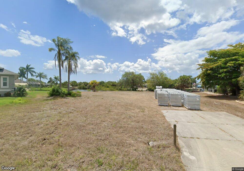
17294 Pheasant Cir Port Charlotte, FL 33948
Estimated Value: $246,824 - $566,000
--
Bed
2
Baths
2,822
Sq Ft
$130/Sq Ft
Est. Value
About This Home
This home is located at 17294 Pheasant Cir, Port Charlotte, FL 33948 and is currently estimated at $367,956, approximately $130 per square foot. 17294 Pheasant Cir is a home located in Charlotte County with nearby schools including Meadow Park Elementary School, Murdock Middle School, and Port Charlotte High School.
Ownership History
Date
Name
Owned For
Owner Type
Purchase Details
Closed on
Dec 23, 2021
Sold by
Hayter Lloyd C
Bought by
Wozniak Ronald J
Current Estimated Value
Purchase Details
Closed on
Apr 30, 1997
Sold by
Mccreery Margaret Gladys and Mccreery John
Bought by
Hayter Lloyd C and Hayter Diane E
Home Financials for this Owner
Home Financials are based on the most recent Mortgage that was taken out on this home.
Original Mortgage
$121,400
Interest Rate
7.95%
Create a Home Valuation Report for This Property
The Home Valuation Report is an in-depth analysis detailing your home's value as well as a comparison with similar homes in the area
Home Values in the Area
Average Home Value in this Area
Purchase History
| Date | Buyer | Sale Price | Title Company |
|---|---|---|---|
| Wozniak Ronald J | $200,000 | All Coast Title & Escrow | |
| Hayter Lloyd C | $125,000 | -- |
Source: Public Records
Mortgage History
| Date | Status | Borrower | Loan Amount |
|---|---|---|---|
| Previous Owner | Hayter Lloyd C | $121,400 |
Source: Public Records
Tax History Compared to Growth
Tax History
| Year | Tax Paid | Tax Assessment Tax Assessment Total Assessment is a certain percentage of the fair market value that is determined by local assessors to be the total taxable value of land and additions on the property. | Land | Improvement |
|---|---|---|---|---|
| 2023 | $2,467 | $128,996 | $127,628 | $1,368 |
| 2022 | $2,417 | $128,996 | $127,628 | $1,368 |
| 2021 | $1,294 | $59,508 | $58,013 | $1,495 |
| 2020 | $1,245 | $59,542 | $58,013 | $1,529 |
| 2019 | $1,173 | $54,376 | $52,792 | $1,584 |
| 2018 | $1,083 | $53,491 | $52,211 | $1,280 |
| 2017 | $1,085 | $50,486 | $49,311 | $1,175 |
| 2016 | $1,102 | $37,606 | $0 | $0 |
| 2015 | $1,081 | $34,187 | $0 | $0 |
| 2014 | $1,039 | $31,079 | $0 | $0 |
Source: Public Records
Map
Nearby Homes
- 17200 Sabrina Cir
- 17349 Pheasant Cir
- 4234 Library St
- 17209 Sabrina Cir
- 4202 Perch Cir
- 17220 Horizon Ln
- 17404 Pheasant Cir
- 17413 Pheasant Cir
- 4420 Larkspur Ct
- 4187 Perch Cir
- 17412 Pheasant Cir
- 4169 Joseph St
- 17324 Gulfspray Cir
- 17324, 17332, 17340 Gulfspray Cir
- 17306 Gulfspray Cir
- 17200 Gulfspray Cir
- 4436 Larkspur Ct
- 4174 Perch Cir
- 17164 Horizon Ln
- 4139 Perch Cir
- 17288 Pheasant Cir
- 17300 Pheasant Cir
- 17280 Pheasant Cir
- 17318 Sabrina Cir
- 4202 Library St
- 4194 Library St
- 4210 Library St
- 17272 Pheasant Cir
- 4186 Library St
- 4218 Library St
- 17333 Pheasant Cir
- 17312 Sabrina Cir
- 4178 Library St
- 17312 Pheasant Cir
- 17264 Pheasant Cir
- 17340 Sabrina Cir
- 4170 Library St
- 17341 Pheasant Cir
- 17315 Sabrina Cir
- 17265 Pheasant Cir
