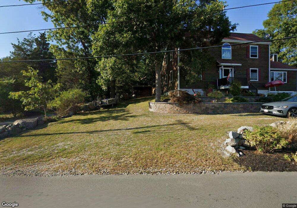
172R Atlantic St Gloucester, MA 01930
West Gloucester NeighborhoodEstimated Value: $853,054 - $1,198,000
3
Beds
3
Baths
1,296
Sq Ft
$817/Sq Ft
Est. Value
About This Home
This home is located at 172R Atlantic St, Gloucester, MA 01930 and is currently estimated at $1,058,764, approximately $816 per square foot. 172R Atlantic St is a home located in Essex County with nearby schools including West Parish, Ralph B O'maley Middle School, and Faith Christian School.
Ownership History
Date
Name
Owned For
Owner Type
Purchase Details
Closed on
Jul 1, 1992
Sold by
Melanson Edward and Melanson Bryan E
Bought by
Murphy David E and Murphy Susan M
Current Estimated Value
Create a Home Valuation Report for This Property
The Home Valuation Report is an in-depth analysis detailing your home's value as well as a comparison with similar homes in the area
Home Values in the Area
Average Home Value in this Area
Purchase History
| Date | Buyer | Sale Price | Title Company |
|---|---|---|---|
| Murphy David E | $182,500 | -- |
Source: Public Records
Mortgage History
| Date | Status | Borrower | Loan Amount |
|---|---|---|---|
| Open | Murphy David E | $137,000 | |
| Closed | Murphy David E | $30,000 | |
| Closed | Murphy David E | $20,000 | |
| Closed | Murphy David E | $145,000 |
Source: Public Records
Tax History Compared to Growth
Tax History
| Year | Tax Paid | Tax Assessment Tax Assessment Total Assessment is a certain percentage of the fair market value that is determined by local assessors to be the total taxable value of land and additions on the property. | Land | Improvement |
|---|---|---|---|---|
| 2025 | $7,221 | $742,900 | $305,600 | $437,300 |
| 2024 | $7,351 | $755,500 | $291,200 | $464,300 |
| 2023 | $6,962 | $657,400 | $259,800 | $397,600 |
| 2022 | $6,475 | $552,000 | $221,000 | $331,000 |
| 2021 | $6,343 | $509,900 | $201,100 | $308,800 |
| 2020 | $6,075 | $492,700 | $201,100 | $291,600 |
| 2019 | $6,136 | $483,500 | $201,100 | $282,400 |
| 2018 | $5,873 | $454,200 | $201,100 | $253,100 |
| 2017 | $5,565 | $421,900 | $191,400 | $230,500 |
| 2016 | $5,500 | $404,100 | $192,000 | $212,100 |
| 2015 | $5,355 | $392,300 | $192,000 | $200,300 |
Source: Public Records
Map
Nearby Homes
- 188 Atlantic St
- 226 Atlantic St
- 49 Thurston Point Rd
- 30 Atlantic St
- 6 River Rd
- 672 Washington St
- 109 Riverview Rd
- 13 & 10 Ferry Hill Rd
- 18 Cherry St
- 5 Samoset Rd Unit A
- 65 Poplar St
- 3 Colburn St
- 3 Colburn St Unit 1
- 3 Colburn St Unit 2
- 19 Mystic Ave
- 6 Beauport Ave
- 145 Essex Ave Unit 610
- 196 Washington St
- 78 Grove St
- 368 Essex Ave
- 170 Atlantic St
- 170 Atlantic St Unit R
- 13 Atlantic Ave
- 182 Atlantic St
- 172 Atlantic St
- 180 Atlantic St
- 184 Atlantic St
- 176 Atlantic St
- 170R Atlantic St
- 178 Atlantic St
- 186 Atlantic St
- 9 Atlantic Ave
- 9 Atlantic Ave Unit 2
- 1 Brookfield Dr
- 3 Brookfield Dr
- 7 Atlantic Ave
- 11 Atlantic Ave
- 168 Atlantic St
- 190 Atlantic St
- 166 Atlantic St