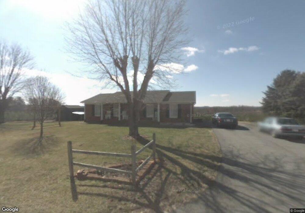
173 Arthur Needham Rd Pilot Mountain, NC 27041
Estimated Value: $239,000 - $300,000
3
Beds
2
Baths
1,450
Sq Ft
$179/Sq Ft
Est. Value
About This Home
This home is located at 173 Arthur Needham Rd, Pilot Mountain, NC 27041 and is currently estimated at $259,424, approximately $178 per square foot. 173 Arthur Needham Rd is a home located in Surry County with nearby schools including Pilot Mountain Elementary School, Pilot Mountain Middle School, and East Surry High School.
Ownership History
Date
Name
Owned For
Owner Type
Purchase Details
Closed on
Jun 19, 2013
Sold by
Hooker Donald J and Hooker Noretta J
Bought by
Galyean Marla A and Galyean Joshua T
Current Estimated Value
Home Financials for this Owner
Home Financials are based on the most recent Mortgage that was taken out on this home.
Original Mortgage
$103,200
Outstanding Balance
$72,931
Interest Rate
3.42%
Mortgage Type
New Conventional
Estimated Equity
$186,493
Create a Home Valuation Report for This Property
The Home Valuation Report is an in-depth analysis detailing your home's value as well as a comparison with similar homes in the area
Home Values in the Area
Average Home Value in this Area
Purchase History
| Date | Buyer | Sale Price | Title Company |
|---|---|---|---|
| Galyean Marla A | $129,000 | None Available |
Source: Public Records
Mortgage History
| Date | Status | Borrower | Loan Amount |
|---|---|---|---|
| Open | Galyean Marla A | $103,200 |
Source: Public Records
Tax History Compared to Growth
Tax History
| Year | Tax Paid | Tax Assessment Tax Assessment Total Assessment is a certain percentage of the fair market value that is determined by local assessors to be the total taxable value of land and additions on the property. | Land | Improvement |
|---|---|---|---|---|
| 2025 | $1,099 | $180,670 | $9,900 | $170,770 |
| 2024 | $903 | $137,820 | $10,200 | $127,620 |
| 2023 | $904 | $137,820 | $10,200 | $127,620 |
| 2022 | $906 | $137,820 | $10,200 | $127,620 |
| 2021 | $923 | $137,820 | $10,200 | $127,620 |
| 2020 | $888 | $126,690 | $10,200 | $116,490 |
| 2019 | $890 | $126,690 | $0 | $0 |
| 2018 | $891 | $126,690 | $0 | $0 |
| 2017 | $890 | $126,690 | $0 | $0 |
| 2016 | $890 | $126,690 | $0 | $0 |
| 2013 | -- | $125,250 | $0 | $0 |
Source: Public Records
Map
Nearby Homes
- 138 Arthur Needham Rd
- 0 Old Us Highway 52 S
- TBD Marbury Trail
- TBD Eddington Ln
- TBD Ingleside Way
- 211 Service Rd
- 906 Long Hill Rd
- 115 Stout Ln
- 00 Simmons Rd
- 181 Fox Walk Ln
- 2109 Cook School Rd
- 0 Chestnut Ridge Rd
- 1993 Cook School Rd
- xx Gilley Rd Unit 20.63 acres
- 300 Tom Hunter Rd
- 446 Gilley Rd
- 148 Buena Vista Dr
- 250 High Meadow Trail
- 2.68 Ac S Old Us Highway 52
- 170 Arthur Needham Rd
- 5.6 Ac S Old Us Highway 52
- 205 Arthur Needham Rd
- 2.92 Ac S Old Us Highway 52
- 9.73 Ac Arthur Needham Rd
- 137 Arthur Needham Rd
- 109 Glenn Way
- 130 Sugg Farm Ln
- 0 Arthur Needham Rd
- 1764 Old Us 52 S
- 1780 Old Us 52 S
- TBD Whisper Trail
- 122 Double H Farm Ln
- 139 Armstrong Rd
- 153 Armstrong Rd
- 1563 Old Us 52 S
- 326 Whisper Trail
- 157 Armstrong Rd
- 100 Hassall Ln